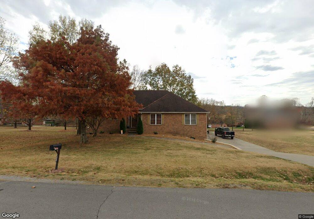
1517 Anthony Way Mount Juliet, TN 37122
Estimated Value: $632,000 - $672,000
--
Bed
2
Baths
3,320
Sq Ft
$196/Sq Ft
Est. Value
About This Home
This home is located at 1517 Anthony Way, Mount Juliet, TN 37122 and is currently estimated at $651,435, approximately $196 per square foot. 1517 Anthony Way is a home located in Wilson County with nearby schools including Springdale Elementary School, West Wilson Middle School, and Mt. Juliet High School.
Ownership History
Date
Name
Owned For
Owner Type
Purchase Details
Closed on
Jan 30, 2009
Sold by
Tuggle Valerie S
Bought by
Tuggle William E
Current Estimated Value
Purchase Details
Closed on
Nov 9, 2006
Sold by
Jones Anthony
Bought by
Tuggle William E
Purchase Details
Closed on
Aug 1, 2006
Sold by
Jervis Ronald
Bought by
Jones Anthony
Home Financials for this Owner
Home Financials are based on the most recent Mortgage that was taken out on this home.
Original Mortgage
$184,000
Interest Rate
6.74%
Purchase Details
Closed on
Sep 30, 1996
Bought by
Jervis Ronald and Jervis Donna
Purchase Details
Closed on
May 29, 1996
Bought by
D B Construction
Create a Home Valuation Report for This Property
The Home Valuation Report is an in-depth analysis detailing your home's value as well as a comparison with similar homes in the area
Home Values in the Area
Average Home Value in this Area
Purchase History
| Date | Buyer | Sale Price | Title Company |
|---|---|---|---|
| Tuggle William E | -- | -- | |
| Tuggle William E | $302,500 | -- | |
| Jones Anthony | $230,000 | -- | |
| Jervis Ronald | $180,500 | -- | |
| D B Construction | $22,500 | -- |
Source: Public Records
Mortgage History
| Date | Status | Borrower | Loan Amount |
|---|---|---|---|
| Previous Owner | D B Construction | $184,000 | |
| Previous Owner | D B Construction | $46,000 |
Source: Public Records
Tax History Compared to Growth
Tax History
| Year | Tax Paid | Tax Assessment Tax Assessment Total Assessment is a certain percentage of the fair market value that is determined by local assessors to be the total taxable value of land and additions on the property. | Land | Improvement |
|---|---|---|---|---|
| 2024 | $2,155 | $112,875 | $22,500 | $90,375 |
| 2022 | $2,155 | $112,875 | $22,500 | $90,375 |
| 2021 | $2,155 | $112,875 | $22,500 | $90,375 |
| 2020 | $2,032 | $112,875 | $22,500 | $90,375 |
| 2019 | $2,032 | $80,675 | $17,500 | $63,175 |
| 2018 | $2,032 | $80,675 | $17,500 | $63,175 |
| 2017 | $2,032 | $80,675 | $17,500 | $63,175 |
| 2016 | $2,032 | $80,675 | $17,500 | $63,175 |
| 2015 | $2,074 | $80,675 | $17,500 | $63,175 |
| 2014 | $1,763 | $68,569 | $0 | $0 |
Source: Public Records
Map
Nearby Homes
- 560 John Wright Rd
- 6525 John Hager Rd
- 1231 Valley View Dr
- 4511 Central Pike
- 4507 Central Pike
- 624 Stonebridge Ln
- 2419 Newberry Ln
- 300 Cobblestone Landing
- 9028 Grayson Cir
- 1044 Secretariat Dr
- 4000 Affirmed Dr
- 9015 Grayson Cir
- 5012 Winslow Dr
- 4010 Affirmed Dr
- 505 Beach Ln
- 2045 Hawks Nest Ct
- 5041 Winslow Dr
- 2053 Hawks Nest Ct
- 7140 Silverwood Trail
- 1617 Southhampton Way
- 1517 Anthony Way
- 2001 Leah Ct
- 2003 Leah Ct
- 1515 Anthony Way
- 2005 Leah Ct
- 1402 Clifford Ct
- 1404 Clifford Ct
- 1526 Anthony Way
- 2007 Leah Ct
- 2000 Leah Ct
- 2002 Leah Ct
- 1400 Clifford Ct
- 1406 Clifford Ct
- 1520 Anthony Way
- 2004 Leah Ct
- 2008 Leah Ct
- 1518 Anthony Way
- 1530 Anthony Way
- 2006 Leah Ct
- 1516 Anthony Way