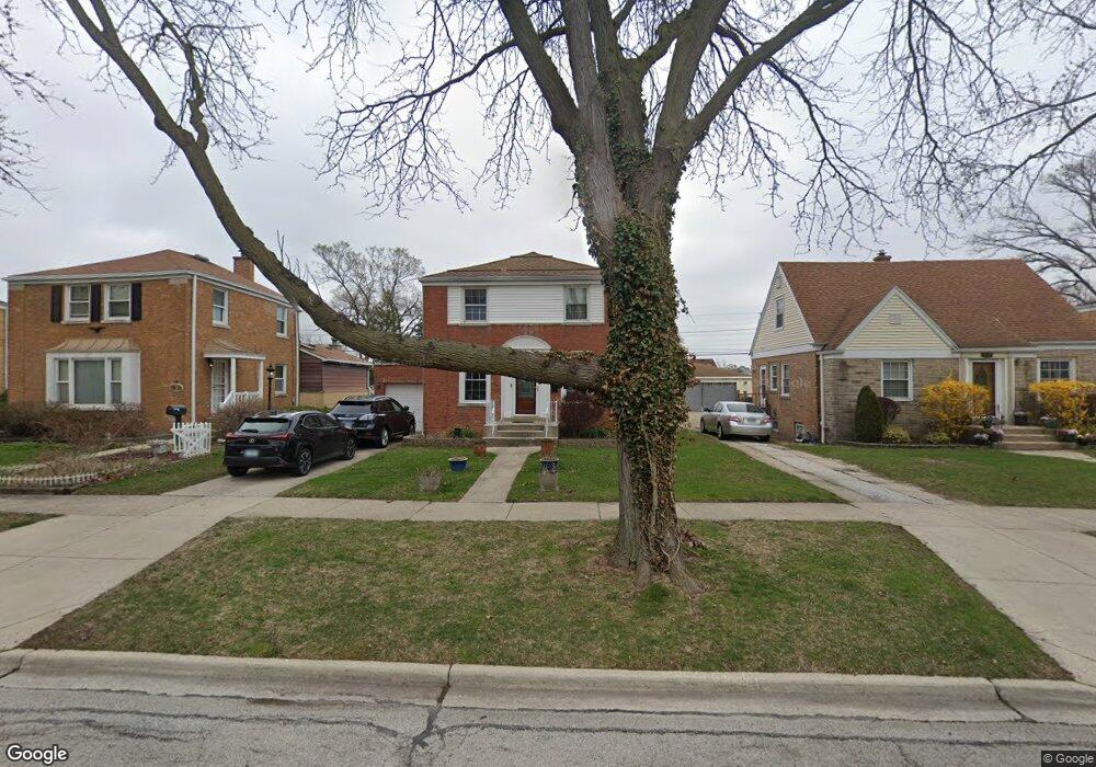
1517 Bristol Ave Westchester, IL 60154
Estimated Value: $345,150 - $409,000
3
Beds
2
Baths
1,394
Sq Ft
$269/Sq Ft
Est. Value
About This Home
This home is located at 1517 Bristol Ave, Westchester, IL 60154 and is currently estimated at $375,288, approximately $269 per square foot. 1517 Bristol Ave is a home located in Cook County with nearby schools including Westchester Primary School, Westchester Intermediate School, and Westchester Middle School.
Ownership History
Date
Name
Owned For
Owner Type
Purchase Details
Closed on
Jul 2, 2001
Sold by
Crist Everett V and Crist Rose M
Bought by
Goodridge Michael T and Sulit Sean M
Current Estimated Value
Home Financials for this Owner
Home Financials are based on the most recent Mortgage that was taken out on this home.
Original Mortgage
$178,200
Outstanding Balance
$68,973
Interest Rate
7.2%
Mortgage Type
FHA
Estimated Equity
$306,315
Create a Home Valuation Report for This Property
The Home Valuation Report is an in-depth analysis detailing your home's value as well as a comparison with similar homes in the area
Home Values in the Area
Average Home Value in this Area
Purchase History
| Date | Buyer | Sale Price | Title Company |
|---|---|---|---|
| Goodridge Michael T | $181,000 | Ticor Title |
Source: Public Records
Mortgage History
| Date | Status | Borrower | Loan Amount |
|---|---|---|---|
| Open | Goodridge Michael T | $178,200 |
Source: Public Records
Tax History Compared to Growth
Tax History
| Year | Tax Paid | Tax Assessment Tax Assessment Total Assessment is a certain percentage of the fair market value that is determined by local assessors to be the total taxable value of land and additions on the property. | Land | Improvement |
|---|---|---|---|---|
| 2024 | $5,954 | $26,000 | $4,550 | $21,450 |
| 2023 | $5,559 | $26,000 | $4,550 | $21,450 |
| 2022 | $5,559 | $21,643 | $3,900 | $17,743 |
| 2021 | $5,408 | $21,642 | $3,900 | $17,742 |
| 2020 | $5,349 | $21,642 | $3,900 | $17,742 |
| 2019 | $5,476 | $22,812 | $3,575 | $19,237 |
| 2018 | $5,402 | $22,812 | $3,575 | $19,237 |
| 2017 | $5,315 | $22,812 | $3,575 | $19,237 |
| 2016 | $4,812 | $18,998 | $3,250 | $15,748 |
| 2015 | $4,714 | $18,998 | $3,250 | $15,748 |
| 2014 | $4,621 | $18,998 | $3,250 | $15,748 |
| 2013 | $4,706 | $21,348 | $3,250 | $18,098 |
Source: Public Records
Map
Nearby Homes
- 1500 Bristol Ave
- 1433 Bristol Ave
- 1601 Bristol Ave
- 1623 Manchester Ave
- 1840 Gardner Rd
- 1900 Manchester Ave
- 1907 Suffolk Ave
- 10072 Drury Ln
- 2320 S 22nd Ave
- 1932 Newcastle Ave
- 1119 Newcastle Ave
- 2237 S 22nd Ave
- 923 Manchester Ave
- 920 Suffolk Ave
- 2128 Hull Ave
- 1016 Hull Ave
- 814 Norfolk Ave
- 805 Norfolk Ave
- 2003 S 24th Ave
- 750 Bristol Ave
- 1513 Bristol Ave
- 1523 Bristol Ave
- 1507 Bristol Ave
- 1527 Bristol Ave
- 1516 Gardner Rd
- 1512 Gardner Rd
- 1522 Gardner Rd
- 1533 Bristol Ave
- 1501 Bristol Ave
- 1506 Gardner Rd
- 1526 Gardner Rd
- 1516 Bristol Ave
- 1532 Gardner Rd
- 1537 Bristol Ave
- 1500 Gardner Rd
- 1512 Bristol Ave
- 1522 Bristol Ave
- 1506 Bristol Ave
- 1526 Bristol Ave
- 1536 Gardner Rd