1517 Charles Ave West Branch, IA 52358
Estimated Value: $210,000 - $297,753
4
Beds
2
Baths
1,450
Sq Ft
$168/Sq Ft
Est. Value
About This Home
This home is located at 1517 Charles Ave, West Branch, IA 52358 and is currently estimated at $243,188, approximately $167 per square foot. 1517 Charles Ave is a home located in Cedar County with nearby schools including Hoover Elementary School, West Branch Middle School, and West Branch High School.
Ownership History
Date
Name
Owned For
Owner Type
Purchase Details
Closed on
May 3, 2018
Sold by
Jennings Karl D Est
Bought by
Jennings Ryan A and Jennings Chantelle A
Current Estimated Value
Home Financials for this Owner
Home Financials are based on the most recent Mortgage that was taken out on this home.
Original Mortgage
$86,400
Outstanding Balance
$73,555
Interest Rate
4.2%
Mortgage Type
Adjustable Rate Mortgage/ARM
Estimated Equity
$169,633
Create a Home Valuation Report for This Property
The Home Valuation Report is an in-depth analysis detailing your home's value as well as a comparison with similar homes in the area
Home Values in the Area
Average Home Value in this Area
Purchase History
| Date | Buyer | Sale Price | Title Company |
|---|---|---|---|
| Jennings Ryan A | $108,000 | -- |
Source: Public Records
Mortgage History
| Date | Status | Borrower | Loan Amount |
|---|---|---|---|
| Open | Jennings Ryan A | $86,400 |
Source: Public Records
Tax History Compared to Growth
Tax History
| Year | Tax Paid | Tax Assessment Tax Assessment Total Assessment is a certain percentage of the fair market value that is determined by local assessors to be the total taxable value of land and additions on the property. | Land | Improvement |
|---|---|---|---|---|
| 2025 | $2,800 | $394,070 | $167,800 | $226,270 |
| 2024 | $2,800 | $223,620 | $118,650 | $104,970 |
| 2023 | $2,646 | $215,580 | $118,650 | $96,930 |
| 2022 | $2,140 | $150,060 | $77,340 | $72,720 |
| 2021 | $2,048 | $154,030 | $77,340 | $76,690 |
| 2020 | $1,994 | $136,920 | $68,750 | $68,170 |
| 2019 | $894 | $68,930 | $0 | $0 |
| 2018 | $718 | $68,930 | $0 | $0 |
| 2017 | $852 | $75,780 | $0 | $0 |
| 2016 | $848 | $75,780 | $0 | $0 |
| 2015 | $854 | $75,780 | $0 | $0 |
| 2014 | $854 | $70,140 | $0 | $0 |
Source: Public Records
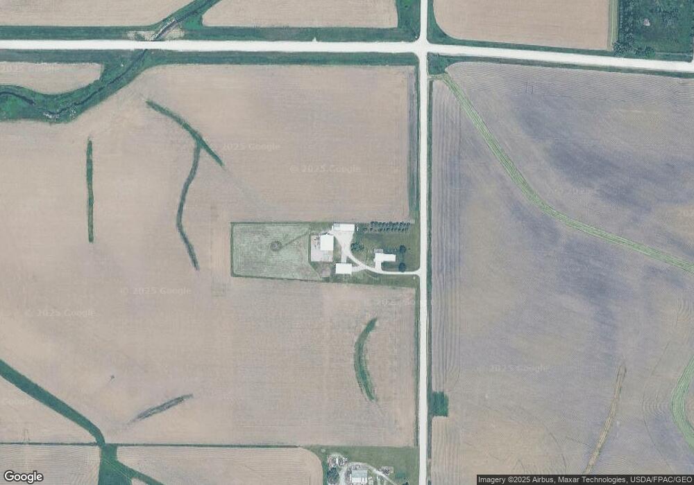
Map
Nearby Homes
- 325 Elm St
- 12 Bradley Ln Unit AB12
- 27 Bradley Ln Unit AC27
- 63 Eisenhower St Unit GB63
- T.B.D. 275th St
- 33 Lou Henry Ln Unit AM33
- 35 Lou Henry Ln Unit AM35
- 3149 Oasis Rd NE
- 3 Grant St Unit GR3
- 521 N 4th St Unit Louise Court Condos
- 557 N 4th St
- 0 340th St NE Unit 2507765
- 121 Northridge Dr Unit 121-139
- 426 N 1st St
- 110 Northside Dr
- 4 Lazy Brook Dr
- 2 Lazy Brook Dr
- 1 Ember Ln
- 0 122 Acres M L Cedar Johnson Rd
- Lot 17 Meadows Subdivision Part 5