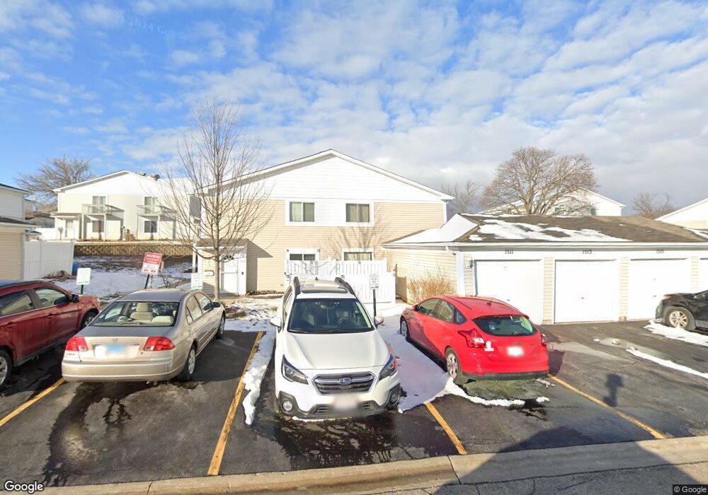
1517 Cornell Ct Unit 7D Hoffman Estates, IL 60169
South Hoffman Estates NeighborhoodEstimated Value: $198,832 - $243,000
2
Beds
--
Bath
1,000
Sq Ft
$230/Sq Ft
Est. Value
About This Home
This home is located at 1517 Cornell Ct Unit 7D, Hoffman Estates, IL 60169 and is currently estimated at $229,708, approximately $229 per square foot. 1517 Cornell Ct Unit 7D is a home located in Cook County with nearby schools including Neil Armstrong Elementary School, Dwight D Eisenhower Junior High School, and Hoffman Estates High School.
Ownership History
Date
Name
Owned For
Owner Type
Purchase Details
Closed on
Oct 1, 1996
Sold by
Jopa Philip A and Jopa Mitchell
Bought by
Colon Christopher
Current Estimated Value
Home Financials for this Owner
Home Financials are based on the most recent Mortgage that was taken out on this home.
Original Mortgage
$63,000
Outstanding Balance
$4,025
Interest Rate
8%
Estimated Equity
$225,683
Create a Home Valuation Report for This Property
The Home Valuation Report is an in-depth analysis detailing your home's value as well as a comparison with similar homes in the area
Home Values in the Area
Average Home Value in this Area
Purchase History
| Date | Buyer | Sale Price | Title Company |
|---|---|---|---|
| Colon Christopher | $73,000 | -- |
Source: Public Records
Mortgage History
| Date | Status | Borrower | Loan Amount |
|---|---|---|---|
| Open | Colon Christopher | $63,000 |
Source: Public Records
Tax History
| Year | Tax Paid | Tax Assessment Tax Assessment Total Assessment is a certain percentage of the fair market value that is determined by local assessors to be the total taxable value of land and additions on the property. | Land | Improvement |
|---|---|---|---|---|
| 2025 | $3,343 | $20,113 | $4,492 | $15,621 |
| 2024 | $3,343 | $14,210 | $4,083 | $10,127 |
| 2023 | $3,204 | $14,210 | $4,083 | $10,127 |
| 2022 | $3,204 | $14,210 | $4,083 | $10,127 |
| 2021 | $2,520 | $10,853 | $6,431 | $4,422 |
| 2020 | $2,536 | $10,853 | $6,431 | $4,422 |
| 2019 | $2,544 | $12,120 | $6,431 | $5,689 |
| 2018 | $1,583 | $8,291 | $5,614 | $2,677 |
| 2017 | $1,574 | $8,291 | $5,614 | $2,677 |
| 2016 | $1,726 | $8,291 | $5,614 | $2,677 |
| 2015 | $983 | $5,684 | $4,899 | $785 |
| 2014 | $983 | $5,684 | $4,899 | $785 |
| 2013 | $939 | $5,684 | $4,899 | $785 |
Source: Public Records
Map
Nearby Homes
- 2222 Seaver Ln
- 1576 Poplar Creek Dr
- 1792 Williamsburg Dr
- 1880 Bonnie Ln Unit 112
- 1475 Rebecca Dr Unit 213
- 1800 Monterey Ct
- 1500 Robin Cir Unit 314
- 2080 Sutherland Place Unit 1
- 1797 Queensbury Cir Unit 5764
- 1776 Bristol Walk Unit 1776
- 1975 Windsong Dr Unit 333E1
- 1760 Bristol Walk Unit F
- 1722 Fayette Walk Unit E
- 1840 Huntington Blvd Unit BW511
- 1840 Huntington Blvd Unit 203
- 1769 Sessions Walk Unit C
- 1836 Stockton Dr Unit 3312
- 1965 Cheltenham Place Unit 2
- 1965 Blackberry Ln Unit 101
- 2267 Briar Ct Unit 65
- 1515 Cornell Ct Unit 7C
- 1515 Cornell Ct Unit 1
- 1513 Cornell Ct Unit 7B
- 1511 Cornell Ct Unit 7A
- 1523 Cornell Ct Unit 8C
- 1521 Cornell Ct Unit 8B
- 1541 Cornell Place Unit 10C
- 1525 Cornell Ct Unit 8D
- 1527 Cornell Ct Unit 8A
- 1549 Cornell Place Unit 10E
- 1547 Cornell Place Unit 10B
- 1547 Cornell Place Unit 1547
- 1543 Cornell Place Unit 10D
- 1543 Cornell Place Unit 1543
- 1553 Cornell Place Unit 11C
- 1567 Cornell Place Unit 12B
- 1567 Cornell Place Unit 1567
- 1535 Cornell Place Unit 9A
- 1507 Cornell Ct Unit 6A
- 1505 Cornell Ct Unit 2E
Your Personal Tour Guide
Ask me questions while you tour the home.