1517 Highway 24 Newport, NC 28570
Estimated Value: $688,000 - $764,043
3
Beds
3
Baths
1,956
Sq Ft
$369/Sq Ft
Est. Value
About This Home
This home is located at 1517 Highway 24, Newport, NC 28570 and is currently estimated at $721,761, approximately $368 per square foot. 1517 Highway 24 is a home located in Carteret County with nearby schools including Bogue Sound Elementary School, Broad Creek Middle School, and Croatan High School.
Ownership History
Date
Name
Owned For
Owner Type
Purchase Details
Closed on
Aug 12, 2021
Sold by
Jones Virginia Jane Davenport and Jones Lucius Sanderford
Bought by
Somers Amy Louise Brooks and Allen Joseph Michael
Current Estimated Value
Home Financials for this Owner
Home Financials are based on the most recent Mortgage that was taken out on this home.
Original Mortgage
$460,000
Outstanding Balance
$417,335
Interest Rate
2.75%
Mortgage Type
New Conventional
Estimated Equity
$304,426
Create a Home Valuation Report for This Property
The Home Valuation Report is an in-depth analysis detailing your home's value as well as a comparison with similar homes in the area
Home Values in the Area
Average Home Value in this Area
Purchase History
| Date | Buyer | Sale Price | Title Company |
|---|---|---|---|
| Somers Amy Louise Brooks | $575,000 | None Available |
Source: Public Records
Mortgage History
| Date | Status | Borrower | Loan Amount |
|---|---|---|---|
| Open | Somers Amy Louise Brooks | $460,000 |
Source: Public Records
Tax History Compared to Growth
Tax History
| Year | Tax Paid | Tax Assessment Tax Assessment Total Assessment is a certain percentage of the fair market value that is determined by local assessors to be the total taxable value of land and additions on the property. | Land | Improvement |
|---|---|---|---|---|
| 2025 | $3,273 | $1,041,100 | $670,485 | $370,615 |
| 2024 | $2,281 | $496,132 | $273,219 | $222,913 |
| 2023 | $2,355 | $496,132 | $273,219 | $222,913 |
| 2022 | $2,305 | $496,132 | $273,219 | $222,913 |
| 2021 | $0 | $503,549 | $280,636 | $222,913 |
| 2020 | $2,245 | $503,549 | $280,636 | $222,913 |
| 2019 | $2,178 | $512,336 | $280,636 | $231,700 |
| 2017 | $2,178 | $512,336 | $280,636 | $231,700 |
| 2016 | $2,178 | $512,336 | $280,636 | $231,700 |
| 2015 | $2,024 | $512,336 | $280,636 | $231,700 |
| 2014 | $1,866 | $514,249 | $293,310 | $220,939 |
Source: Public Records
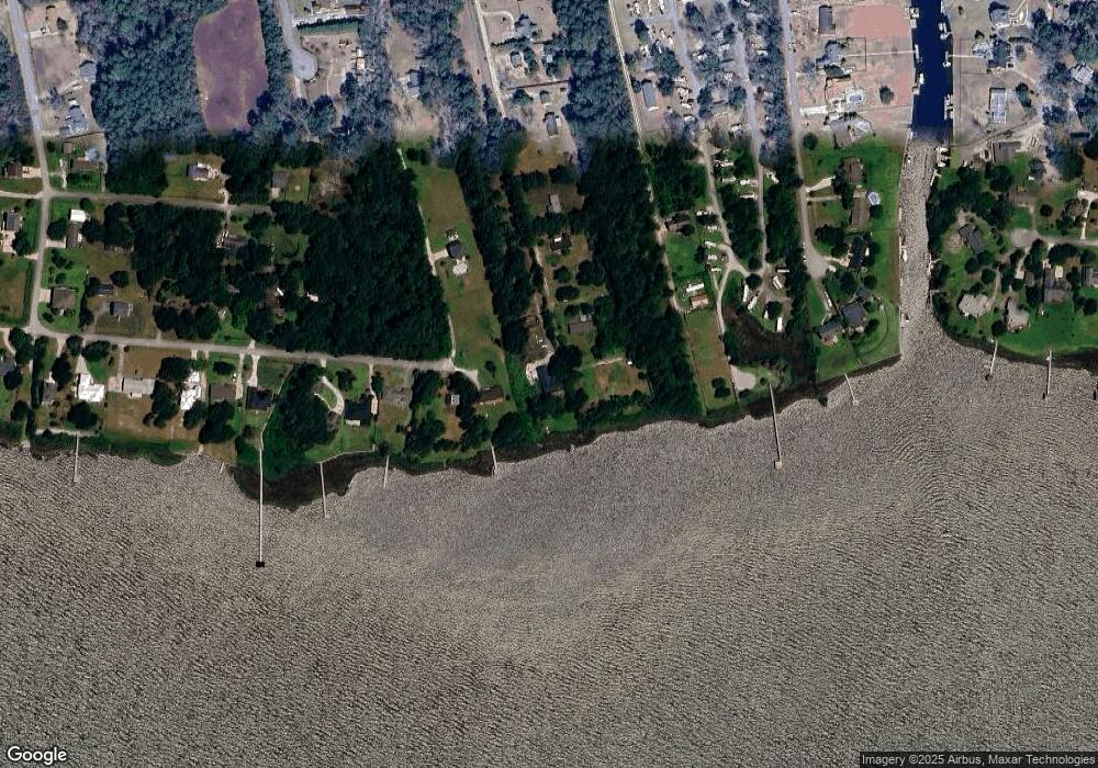
Map
Nearby Homes
- 304 Brook Ln
- 162 Water Oak Dr
- 107 Portsmouth Ln
- 233 Deep Bay Dr
- 234 Deep Bay Dr
- 107 Paradise Ln
- 122 Oriental Ct
- 301 Murdoch Rd
- 401 Scot Dr
- 203 E Southwinds Dr
- 116 Spencer Ln
- 154 Canton St
- 103 Laurel Ln
- 306 Rattan St
- 105 Sandpiper Dr
- 281 Bay Run
- 421 Old Swansboro Rd
- 114 Bluewater Cir
- 265 Bay Run
- 124 Pine Bluff Dr
- 220 Dogwood Ln
- 218 Dogwood Ln
- 212 Dogwood Ln
- 221 Dogwood Ln
- 206 Dogwood Ln
- 263 Whaley Ln
- 196 Dogwood Ln
- Lt # 16&17 Holly
- 188 Dogwood Ln
- 183 Dogwood Ln
- 323 Brook Ln
- Lot 7-8 Dogwood
- 0 Dogwood Ln
- 121 Dogwood Ln
- 111 Dogwood Ln
- 166 Dogwood Ln
- 215 Hall
- 161 Holly Lane Soundview
- Lot 2 Holly Lane Soundview
- 321 Brook Ln