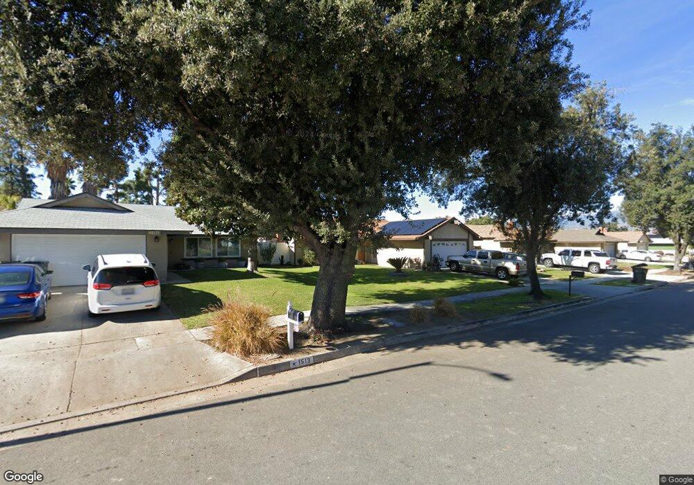
1517 Ohio St Redlands, CA 92374
North Redlands NeighborhoodEstimated Value: $519,196 - $638,000
4
Beds
2
Baths
1,350
Sq Ft
$417/Sq Ft
Est. Value
About This Home
This home is located at 1517 Ohio St, Redlands, CA 92374 and is currently estimated at $563,299, approximately $417 per square foot. 1517 Ohio St is a home located in San Bernardino County with nearby schools including Lugonia Elementary School, Clement Middle School, and Citrus Valley High School.
Ownership History
Date
Name
Owned For
Owner Type
Purchase Details
Closed on
Aug 10, 1999
Sold by
Maas Ronald R Tr
Bought by
Wingate Charles W and Wingate Sheila
Current Estimated Value
Home Financials for this Owner
Home Financials are based on the most recent Mortgage that was taken out on this home.
Original Mortgage
$97,069
Interest Rate
8.09%
Purchase Details
Closed on
Sep 14, 1995
Sold by
Bvi Partners
Bought by
Maas Ronald Roy and Fagin Charlotte Lee
Create a Home Valuation Report for This Property
The Home Valuation Report is an in-depth analysis detailing your home's value as well as a comparison with similar homes in the area
Home Values in the Area
Average Home Value in this Area
Purchase History
| Date | Buyer | Sale Price | Title Company |
|---|---|---|---|
| Wingate Charles W | $106,000 | Chicago Title | |
| Maas Ronald Roy | -- | Stewart Title |
Source: Public Records
Mortgage History
| Date | Status | Borrower | Loan Amount |
|---|---|---|---|
| Previous Owner | Wingate Charles W | $97,069 | |
| Closed | Wingate Charles W | $10,600 |
Source: Public Records
Tax History Compared to Growth
Tax History
| Year | Tax Paid | Tax Assessment Tax Assessment Total Assessment is a certain percentage of the fair market value that is determined by local assessors to be the total taxable value of land and additions on the property. | Land | Improvement |
|---|---|---|---|---|
| 2025 | $1,840 | $162,924 | $40,732 | $122,192 |
| 2024 | $1,840 | $159,729 | $39,933 | $119,796 |
| 2023 | $1,836 | $156,597 | $39,150 | $117,447 |
| 2022 | $1,808 | $153,526 | $38,382 | $115,144 |
| 2021 | $1,839 | $150,515 | $37,629 | $112,886 |
| 2020 | $1,811 | $148,971 | $37,243 | $111,728 |
| 2019 | $1,760 | $146,050 | $36,513 | $109,537 |
| 2018 | $1,715 | $143,186 | $35,797 | $107,389 |
| 2017 | $1,699 | $140,378 | $35,095 | $105,283 |
| 2016 | $1,678 | $137,626 | $34,407 | $103,219 |
| 2015 | $1,665 | $135,559 | $33,890 | $101,669 |
| 2014 | $1,633 | $132,903 | $33,226 | $99,677 |
Source: Public Records
Map
Nearby Homes
- 1450 Washington St
- 1636 Webster St
- 1324 Clay St
- 1312 Calhoun St
- 2167 Bergamot St
- 1231 Webster St
- 402 Baldwin Ave
- 1403 Arlene St
- 1734 Orange St
- 325 Deodar St
- 1510 Karon St
- 102 E Pioneer Ave
- 420 Deodar St
- 1845 Furlow Dr
- 1602 Glover St
- 1218 6th St
- 874 Royal Knight Trail
- 1808 Cave St
- 140 W Pioneer Ave Unit 76
- 1025 Clay St