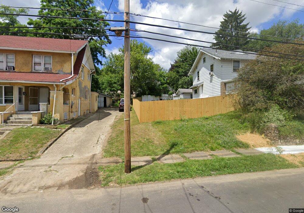
1517 Spring Ave NE Canton, OH 44714
Gibbs Area NeighborhoodEstimated Value: $133,000 - $252,000
4
Beds
2
Baths
1,380
Sq Ft
$139/Sq Ft
Est. Value
About This Home
This home is located at 1517 Spring Ave NE, Canton, OH 44714 and is currently estimated at $192,500, approximately $139 per square foot. 1517 Spring Ave NE is a home located in Stark County with nearby schools including Early Learning Center @ Schreiber, Gibbs Elementary School, and Youtz Intermediate School.
Ownership History
Date
Name
Owned For
Owner Type
Purchase Details
Closed on
Apr 17, 2023
Sold by
Stark County Land Reutilization Corporat
Bought by
Scott Bonnie C
Current Estimated Value
Purchase Details
Closed on
Jan 9, 2019
Sold by
Kinsey John A
Bought by
Stark County Land Reutilization Corporat
Purchase Details
Closed on
Jan 16, 2016
Sold by
Stanley Linda M and Kinsey Linda M
Bought by
Kinsey John A and Kinsey Linda M
Create a Home Valuation Report for This Property
The Home Valuation Report is an in-depth analysis detailing your home's value as well as a comparison with similar homes in the area
Home Values in the Area
Average Home Value in this Area
Purchase History
| Date | Buyer | Sale Price | Title Company |
|---|---|---|---|
| Scott Bonnie C | -- | None Listed On Document | |
| Stark County Land Reutilization Corporat | -- | None Available | |
| Kinsey John A | -- | Attorney |
Source: Public Records
Tax History Compared to Growth
Tax History
| Year | Tax Paid | Tax Assessment Tax Assessment Total Assessment is a certain percentage of the fair market value that is determined by local assessors to be the total taxable value of land and additions on the property. | Land | Improvement |
|---|---|---|---|---|
| 2025 | $73 | $1,400 | $1,400 | -- |
| 2024 | -- | $1,400 | $1,400 | -- |
| 2023 | $0 | $1,370 | $1,370 | $0 |
| 2022 | $253 | $9,980 | $2,730 | $7,250 |
| 2021 | $253 | $9,980 | $2,730 | $7,250 |
| 2020 | $47 | $8,720 | $2,350 | $6,370 |
| 2019 | $6 | $8,720 | $2,350 | $6,370 |
| 2018 | $643 | $8,720 | $2,350 | $6,370 |
| 2017 | $694 | $10,120 | $3,290 | $6,830 |
| 2016 | $92 | $10,120 | $3,290 | $6,830 |
| 2015 | $93 | $10,120 | $3,290 | $6,830 |
| 2014 | $120 | $10,440 | $3,400 | $7,040 |
| 2013 | $15 | $10,440 | $3,400 | $7,040 |
Source: Public Records
Map
Nearby Homes
- 1454 Spring Ave NE
- 211 15th St NE
- 1540 Miami Ct NE
- 802 17th St NE
- 1422 Plain Ave NE
- 1521 Gibbs Ave NE
- 1412 Miami Ct NE
- 1332 Spring Ave NE
- 1625 Market Ave N
- 120 16th St NW
- 1421 Market Ave N
- 1611 Rowland Ave NE
- 1210 17th St NE
- 1126 18th St NE
- 1219 17th St NE
- 1322 Struble Ave NE
- 918 19th St NE
- 1447 Shriver Ave NE
- 1328 Logan Ave NW
- 1631 Shriver Ave NE
- 1519 Spring Ave NE
- 1513 Spring Ave NE
- 606 Paar Place NE
- 1527 Spring Ave NE
- 619 15th St NE
- 615 15th St NE
- 604 Paar Place NE
- 1516 Spring Ave NE
- 703 15th St NE
- 1512 Spring Ave NE
- 1531 Spring Ave NE
- 600 Paar Place NE
- 1526 Spring Ave NE
- 707 15th St NE
- 1517 Downing Ct NE
- 603 15th St NE
- 605 Paar Place NE
- 1528 Spring Ave NE
- 601 Paar Place NE
- 1541 Spring Ave NE