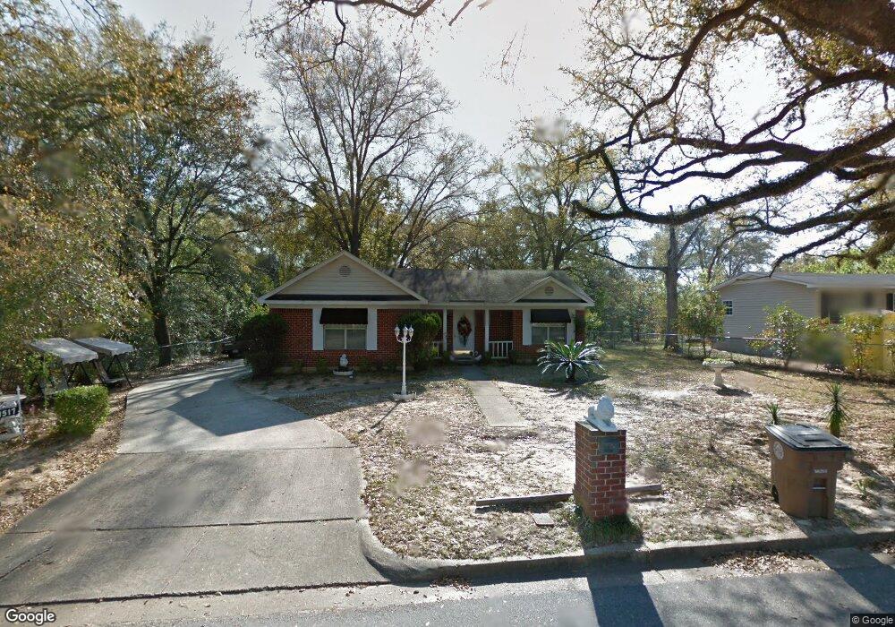
1517 Zack Logan Ave W Mobile, AL 36609
Malibar Heights NeighborhoodEstimated Value: $164,309 - $227,000
3
Beds
2
Baths
1,455
Sq Ft
$133/Sq Ft
Est. Value
About This Home
This home is located at 1517 Zack Logan Ave W, Mobile, AL 36609 and is currently estimated at $194,077, approximately $133 per square foot. 1517 Zack Logan Ave W is a home located in Mobile County with nearby schools including Olive J. Dodge Elementary School, Burns Middle School, and WP Davidson High School.
Ownership History
Date
Name
Owned For
Owner Type
Purchase Details
Closed on
Mar 11, 1998
Sold by
Diane Logan Gloria and Diane Sharon D
Bought by
Johnson Michael S and Johnson Sharon D
Current Estimated Value
Home Financials for this Owner
Home Financials are based on the most recent Mortgage that was taken out on this home.
Original Mortgage
$64,900
Interest Rate
6.99%
Create a Home Valuation Report for This Property
The Home Valuation Report is an in-depth analysis detailing your home's value as well as a comparison with similar homes in the area
Home Values in the Area
Average Home Value in this Area
Purchase History
| Date | Buyer | Sale Price | Title Company |
|---|---|---|---|
| Johnson Michael S | $73,870 | -- |
Source: Public Records
Mortgage History
| Date | Status | Borrower | Loan Amount |
|---|---|---|---|
| Closed | Johnson Michael S | $64,900 |
Source: Public Records
Tax History Compared to Growth
Tax History
| Year | Tax Paid | Tax Assessment Tax Assessment Total Assessment is a certain percentage of the fair market value that is determined by local assessors to be the total taxable value of land and additions on the property. | Land | Improvement |
|---|---|---|---|---|
| 2024 | $647 | $11,080 | $2,000 | $9,080 |
| 2023 | $647 | $10,220 | $1,950 | $8,270 |
| 2022 | $545 | $9,630 | $1,800 | $7,830 |
| 2021 | $507 | $9,030 | $1,500 | $7,530 |
| 2020 | $498 | $8,900 | $1,320 | $7,580 |
| 2019 | $515 | $9,160 | $0 | $0 |
| 2018 | $527 | $9,360 | $0 | $0 |
| 2017 | $539 | $9,540 | $0 | $0 |
| 2016 | $551 | $9,740 | $0 | $0 |
| 2013 | -- | $9,340 | $0 | $0 |
Source: Public Records
Map
Nearby Homes
- 4300 David St
- 5305 Oak Bend Ct
- 5120 Ridgedale Rd
- 4303 Panorama Blvd
- 1429 Regency Oaks Dr E
- 4115 Tamworth Dr
- 314 Evergreen Hill
- 4259 Raines Dr
- 5409 Cortez Dr
- 1508 Oak Cliff Ct
- 4108 Bonnie Ln
- 4107 Seabreeze Rd N
- 661 Ynestra Dr
- 4458 Wolf Creek Dr N
- 4061 Sallie Ct
- 708 Monarch Dr W
- 409 Byron Ave E
- 1609 Oak Forest Ct
- 4309 Packingham Dr
- 4317 Packingham Dr
- 1533 Zack Logan Ave W
- 1509 Zack Logan Ave W
- 4220 Aurelia St
- 1508 Zack Logan Ave W
- 1505 Zack Logan Ave W
- 1505 Zack Logan Ave W
- 1554 Zack Logan Ave W
- 4307 Steve St S
- 1504 Zack Logan Ave W
- 4209 Zack Logan Ave N
- 4208 Aurelia St Unit 2
- 4205 Zack Logan Ave N
- 1504 S University Blvd
- 4312 Steve St S
- 1573 Zack Logan Ave W
- 1572 Zack Logan Ave W
- 1516 Logan Ave
- 1512 Logan Ave
- 4313 Steve St S
- 4215 Aurelia St