1518 155th St Sioux City, IA 51106
Estimated Value: $269,000 - $429,000
--
Bed
2
Baths
1,632
Sq Ft
$214/Sq Ft
Est. Value
About This Home
This home is located at 1518 155th St, Sioux City, IA 51106 and is currently estimated at $348,667, approximately $213 per square foot. 1518 155th St is a home located in Woodbury County with nearby schools including Bronson Elementary School, Lawton Junior/Senior High School, and Siouxland Community Christian School.
Ownership History
Date
Name
Owned For
Owner Type
Purchase Details
Closed on
Oct 2, 2023
Sold by
Coffie Field Developers Inc
Bought by
Wyant Richard N and Wyant Jeraldine A
Current Estimated Value
Purchase Details
Closed on
Oct 20, 2016
Sold by
Wyant Richard N and Wyant Jeraldine A Joy
Bought by
Wyant Richard N and Wyant Jeraldine A Joy
Create a Home Valuation Report for This Property
The Home Valuation Report is an in-depth analysis detailing your home's value as well as a comparison with similar homes in the area
Home Values in the Area
Average Home Value in this Area
Purchase History
| Date | Buyer | Sale Price | Title Company |
|---|---|---|---|
| Wyant Richard N | $330,000 | None Listed On Document | |
| Wyant Richard N | -- | Attorney |
Source: Public Records
Tax History Compared to Growth
Tax History
| Year | Tax Paid | Tax Assessment Tax Assessment Total Assessment is a certain percentage of the fair market value that is determined by local assessors to be the total taxable value of land and additions on the property. | Land | Improvement |
|---|---|---|---|---|
| 2025 | $3,136 | $340,530 | $62,400 | $278,130 |
| 2024 | $3,136 | $321,940 | $41,600 | $280,340 |
| 2023 | $3,284 | $321,940 | $41,600 | $280,340 |
| 2022 | $3,680 | $269,770 | $41,600 | $228,170 |
| 2021 | $3,680 | $269,770 | $41,600 | $228,170 |
| 2020 | $3,552 | $252,870 | $44,510 | $208,360 |
| 2019 | $3,542 | $252,870 | $44,510 | $208,360 |
| 2018 | $3,440 | $240,460 | $32,100 | $208,360 |
| 2017 | $3,440 | $240,460 | $32,100 | $208,360 |
| 2016 | $3,274 | $222,340 | $0 | $0 |
| 2015 | $3,162 | $207,790 | $30,000 | $177,790 |
| 2014 | $3,156 | $207,790 | $30,000 | $177,790 |
Source: Public Records
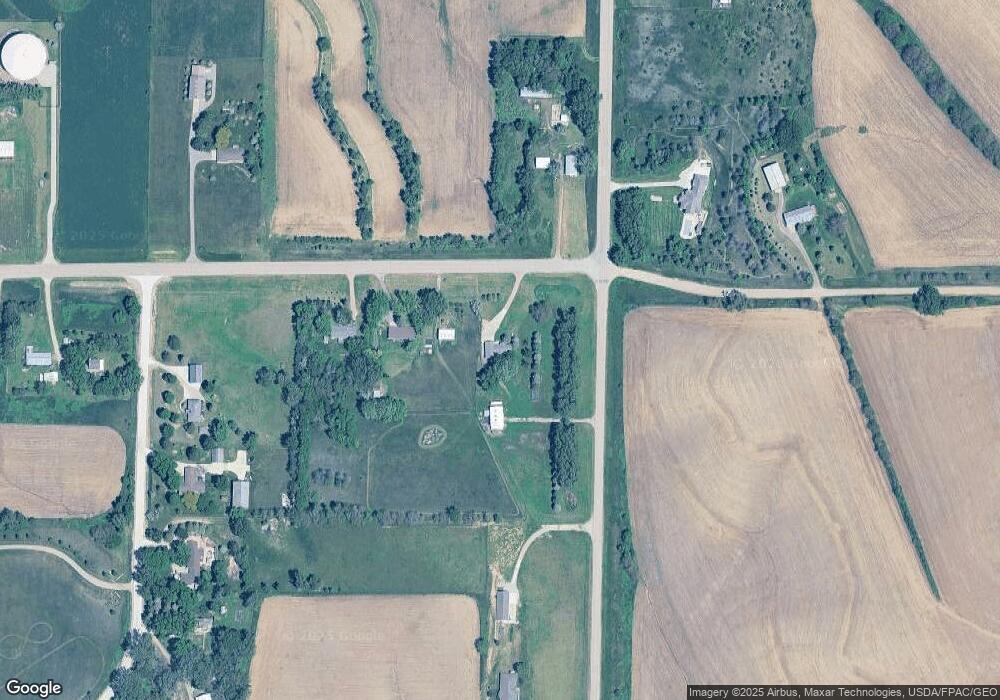
Map
Nearby Homes
- 2564 Nicklaus Blvd
- 2600 Nicklaus Blvd
- 5651 S Roswell St
- 5641 S Roswell St
- 2640 Nicklaus Blvd
- 6290 Tiger Dr
- 6413 Mickelson St
- 5208 Laurel Ave
- 1441 170th St
- 1909 S Olive St
- 1830 S Maple St
- 6119 Morningside Ave
- 2024 S Maple St
- 6540 Palm Valley Dr
- 2409 S Olive St
- 2704 Willow St
- 5811 Lorraine Ave
- 4906 Morningside Ave
- 6104 Pine View Dr
- 1711 S Palmetto St
- 1514 155th St
- 1506 155th St
- 1548 Buchanan Ave
- 1563 Buchanan Ave
- 1521 155th St
- 1556 Benton Ave
- 1560 Benton Ave
- 1574 Benton Ave
- 1566 Benton Ave
- 0 Benton Ave Unit 606028
- 1503 155th St
- 1567 Buchanan Ave
- 1496 155th St
- 1534 Buchanan Ave
- 1543 155th St
- 1489 155th St
- 1524 Buchanan Ave
- 1659 Benton Ave
- 1522 Buchanan Ave
- 1487 158th St