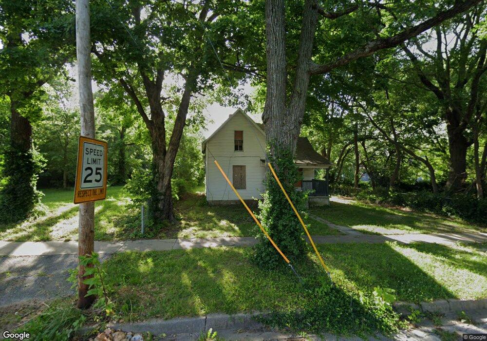
1518 N Irving Ave Springfield, MO 65803
Woodland Heights NeighborhoodEstimated Value: $119,561 - $149,000
4
Beds
1
Bath
868
Sq Ft
$152/Sq Ft
Est. Value
About This Home
This home is located at 1518 N Irving Ave, Springfield, MO 65803 and is currently estimated at $132,140, approximately $152 per square foot. 1518 N Irving Ave is a home located in Greene County with nearby schools including Weaver Elementary School, Pipkin Middle School, and Central High School.
Ownership History
Date
Name
Owned For
Owner Type
Purchase Details
Closed on
Jan 4, 2019
Sold by
Squibb Warren
Bought by
White Timothy and White Cherise
Current Estimated Value
Purchase Details
Closed on
Jan 12, 2018
Sold by
Lumley David R and Lumley Wilma L
Bought by
Squibb Warren
Purchase Details
Closed on
Nov 30, 2017
Sold by
Lumley David R and Lumley Wilma Lea
Bought by
Squibbs Warren
Purchase Details
Closed on
Jul 22, 2014
Sold by
Lumley Wilma L and Lumbley Wilma L
Bought by
Lumley Revocable Trust and Lumley
Create a Home Valuation Report for This Property
The Home Valuation Report is an in-depth analysis detailing your home's value as well as a comparison with similar homes in the area
Home Values in the Area
Average Home Value in this Area
Purchase History
| Date | Buyer | Sale Price | Title Company |
|---|---|---|---|
| White Timothy | -- | None Available | |
| Squibb Warren | -- | None Available | |
| Squibbs Warren | -- | None Available | |
| Lumley Revocable Trust | -- | -- |
Source: Public Records
Tax History
| Year | Tax Paid | Tax Assessment Tax Assessment Total Assessment is a certain percentage of the fair market value that is determined by local assessors to be the total taxable value of land and additions on the property. | Land | Improvement |
|---|---|---|---|---|
| 2025 | $259 | $5,190 | $3,330 | $1,860 |
| 2024 | $90 | $1,670 | $1,670 | $0 |
| 2023 | $89 | $1,670 | $1,670 | $0 |
| 2022 | $91 | $1,670 | $1,670 | $0 |
| 2021 | $91 | $1,670 | $1,670 | $0 |
| 2020 | $95 | $1,670 | $1,670 | $0 |
| 2019 | $410 | $7,390 | $1,670 | $5,720 |
| 2018 | $296 | $5,340 | $1,670 | $3,670 |
| 2017 | $293 | $5,380 | $1,670 | $3,710 |
| 2016 | $295 | $5,380 | $1,670 | $3,710 |
| 2015 | $292 | $5,380 | $1,670 | $3,710 |
| 2014 | $294 | $5,380 | $1,670 | $3,710 |
Source: Public Records
Map
Nearby Homes
- 1512 N Missouri Ave
- 944 W Division St
- 1026 W Commercial St
- 1042 W Commercial St
- 1056 W Commercial St
- 1027 W Division St
- 716 W Division St
- 1447 N Broadway Ave
- 1105 W Division St
- 1502 N Grant Ave
- 1132 W Division St
- 612 W Pacific St
- 1149 W Hovey St
- 521 W Locust St
- 1863 N Grant Ave
- 1305 N Irving Ave
- 1012 W Hamilton St
- 1318 N Douglas Ave
- 1851 N Main Ave
- 1890 N Douglas Ave
- 1522 N Irving Ave
- 1526 N Irving Ave
- 921 W Division St
- 933 W Division St
- 913 W Division St
- 1519 N Missouri Ave
- 1523 N Missouri Ave
- 1511 N Missouri Ave
- 911 W Division St
- 1536 N Irving Ave
- 1515 N Irving Ave
- 1527 N Missouri Ave
- 1527 N Irving Ave
- 1533 N Missouri Ave
- 945 W Division St
- 1533 N Irving Ave
- 1507 N Missouri Ave
- 1537 N Missouri Ave
- 1514 N Broadway Ave
- 930 W Division St
Your Personal Tour Guide
Ask me questions while you tour the home.