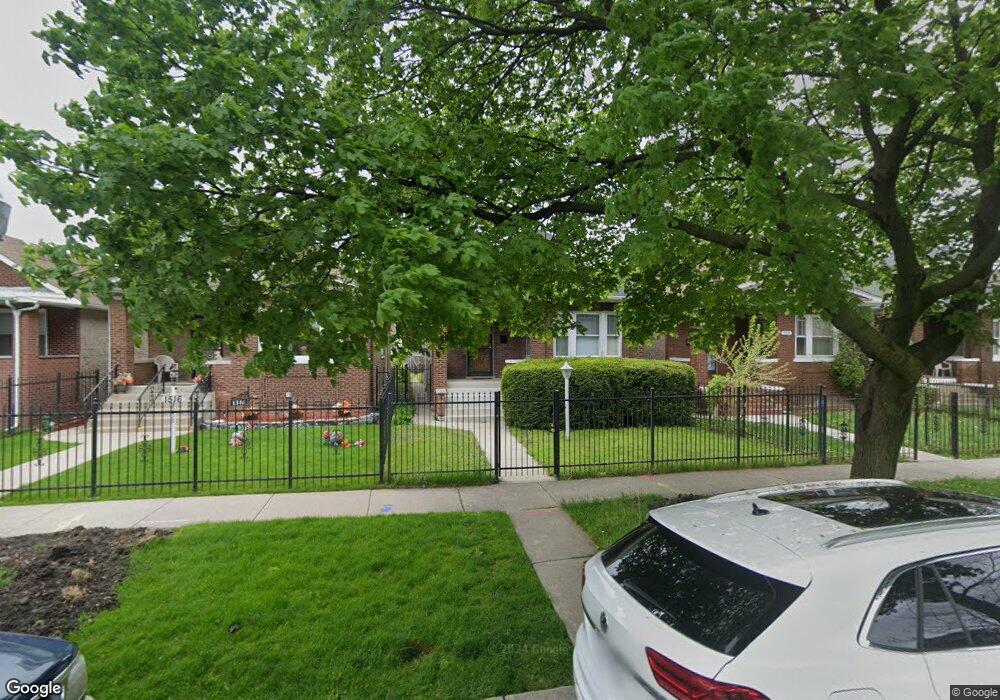
1518 N Massasoit Ave Chicago, IL 60651
Austin NeighborhoodEstimated Value: $328,000 - $399,000
4
Beds
2
Baths
2,042
Sq Ft
$176/Sq Ft
Est. Value
About This Home
This home is located at 1518 N Massasoit Ave, Chicago, IL 60651 and is currently estimated at $358,769, approximately $175 per square foot. 1518 N Massasoit Ave is a home located in Cook County with nearby schools including Ella Flagg Young School, St Angela Elementary School, and Christ Lutheran School.
Ownership History
Date
Name
Owned For
Owner Type
Purchase Details
Closed on
Jun 1, 1995
Sold by
Rogalski Kazimierz and Rydzewski Waldemar
Bought by
Edwards Asey and Edwards Darlene
Current Estimated Value
Home Financials for this Owner
Home Financials are based on the most recent Mortgage that was taken out on this home.
Original Mortgage
$92,820
Interest Rate
8.27%
Mortgage Type
VA
Purchase Details
Closed on
Nov 15, 1994
Sold by
American Housing Trust Ix
Bought by
Rogalski Kazimierz and Rydzewski Waldemar
Create a Home Valuation Report for This Property
The Home Valuation Report is an in-depth analysis detailing your home's value as well as a comparison with similar homes in the area
Home Values in the Area
Average Home Value in this Area
Purchase History
| Date | Buyer | Sale Price | Title Company |
|---|---|---|---|
| Edwards Asey | $91,000 | Attorneys Natl Title Network | |
| Rogalski Kazimierz | -- | -- |
Source: Public Records
Mortgage History
| Date | Status | Borrower | Loan Amount |
|---|---|---|---|
| Closed | Edwards Asey | $92,820 |
Source: Public Records
Tax History Compared to Growth
Tax History
| Year | Tax Paid | Tax Assessment Tax Assessment Total Assessment is a certain percentage of the fair market value that is determined by local assessors to be the total taxable value of land and additions on the property. | Land | Improvement |
|---|---|---|---|---|
| 2024 | $5,486 | $30,000 | $4,805 | $25,195 |
| 2023 | $5,348 | $26,000 | $3,844 | $22,156 |
| 2022 | $5,348 | $26,000 | $3,844 | $22,156 |
| 2021 | $5,228 | $26,000 | $3,844 | $22,156 |
| 2020 | $4,695 | $21,076 | $3,747 | $17,329 |
| 2019 | $4,705 | $23,418 | $3,747 | $19,671 |
| 2018 | $4,626 | $23,418 | $3,747 | $19,671 |
| 2017 | $3,980 | $18,487 | $3,267 | $15,220 |
| 2016 | $2,845 | $18,487 | $3,267 | $15,220 |
| 2015 | $3,388 | $18,487 | $3,267 | $15,220 |
| 2014 | $3,203 | $17,264 | $3,075 | $14,189 |
| 2013 | $3,140 | $17,264 | $3,075 | $14,189 |
Source: Public Records
Map
Nearby Homes
- 1511 N Monitor Ave
- 1448 N Menard Ave
- 1415 N Massasoit Ave
- 1616 N Major Ave
- 1338 N Massasoit Ave
- 1511 N Central Ave
- 1418 N Mayfield Ave
- 1346 N Monitor Ave
- 1636 N Central Ave
- 1720 N Major Ave
- 1622 N Mason Ave
- 1318 N Menard Ave
- 1308 N Waller Ave
- 1657 N Austin Ave
- 1705 N Central Ave
- 1742 N Mayfield Ave
- 1625 N Mcvicker Ave
- 1618 N Mcvicker Ave
- 34 Le Moyne Pkwy
- 1322 N Austin Blvd
- 1522 N Massasoit Ave
- 1516 N Massasoit Ave
- 1526 N Massasoit Ave
- 1514 N Massasoit Ave
- 1528 N Massasoit Ave
- 1510 N Massasoit Ave
- 1532 N Massasoit Ave
- 1521 N Menard Ave
- 1517 N Menard Ave
- 1523 N Menard Ave
- 1515 N Menard Ave
- 1527 N Menard Ave
- 1504 N Massasoit Ave
- 1534 N Massasoit Ave
- 1511 N Menard Ave
- 1529 N Menard Ave
- 1507 N Menard Ave
- 1538 N Massasoit Ave
- 1500 N Massasoit Ave
- 1533 N Menard Ave