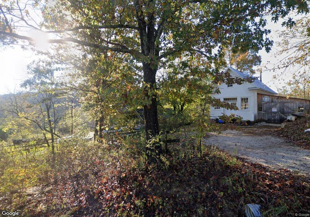
15187 Trace Branch Rd West Fork, AR 72774
Estimated Value: $320,000 - $462,000
--
Bed
2
Baths
1,636
Sq Ft
$239/Sq Ft
Est. Value
About This Home
This home is located at 15187 Trace Branch Rd, West Fork, AR 72774 and is currently estimated at $391,000, approximately $238 per square foot. 15187 Trace Branch Rd is a home located in Washington County with nearby schools including Greenland Middle School, Greenland Elementary School, and Greenland High School.
Ownership History
Date
Name
Owned For
Owner Type
Purchase Details
Closed on
Dec 28, 2005
Sold by
Steele Gregory L and Steele Candy
Bought by
Kershner Properties Llc
Current Estimated Value
Home Financials for this Owner
Home Financials are based on the most recent Mortgage that was taken out on this home.
Original Mortgage
$85,000
Interest Rate
6.3%
Mortgage Type
Purchase Money Mortgage
Purchase Details
Closed on
Apr 14, 1997
Bought by
Steele James D
Purchase Details
Closed on
Jan 1, 1985
Bought by
Western Alfred W
Create a Home Valuation Report for This Property
The Home Valuation Report is an in-depth analysis detailing your home's value as well as a comparison with similar homes in the area
Home Values in the Area
Average Home Value in this Area
Purchase History
| Date | Buyer | Sale Price | Title Company |
|---|---|---|---|
| Kershner Properties Llc | $78,000 | Heritage Land Title Of Ar | |
| Steele James D | $132,000 | -- | |
| Western Alfred W | -- | -- |
Source: Public Records
Mortgage History
| Date | Status | Borrower | Loan Amount |
|---|---|---|---|
| Closed | Kershner Properties Llc | $85,000 |
Source: Public Records
Tax History Compared to Growth
Tax History
| Year | Tax Paid | Tax Assessment Tax Assessment Total Assessment is a certain percentage of the fair market value that is determined by local assessors to be the total taxable value of land and additions on the property. | Land | Improvement |
|---|---|---|---|---|
| 2025 | $3,087 | $71,580 | $19,330 | $52,250 |
| 2024 | $2,850 | $71,590 | $19,340 | $52,250 |
| 2023 | $2,647 | $71,590 | $19,340 | $52,250 |
| 2022 | $2,487 | $52,310 | $12,290 | $40,020 |
| 2021 | $2,487 | $52,310 | $12,290 | $40,020 |
| 2020 | $2,337 | $52,310 | $12,290 | $40,020 |
| 2019 | $2,132 | $44,590 | $10,850 | $33,740 |
| 2018 | $2,132 | $44,690 | $10,850 | $33,840 |
| 2017 | $203 | $44,690 | $10,850 | $33,840 |
| 2016 | $2,114 | $44,690 | $10,850 | $33,840 |
| 2015 | $2,064 | $44,690 | $10,850 | $33,840 |
| 2014 | $1,917 | $41,460 | $8,350 | $33,110 |
Source: Public Records
Map
Nearby Homes
- 14605 Mineral Springs Rd
- TBD 7.49 Acres Slaty Gap Rd
- TBD 11 Acres Slaty Gap Rd
- 14790 Slaty Gap Rd
- 10578 S Smokey Bear Rd
- 0 Trace Branch Rd Unit 1293042
- 11724 Brubaker Rd
- 12812 Parker Branch Rd
- 10247 S Smokey Bear Rd
- 14159 Low Gap Wc 100 Rd
- 14163 Low Gap Rd
- 14161 Low Gap Rd
- 163 Acres Low Gap Rd
- 14630 E Wallin Mountain Rd
- 12284 Flowers Rd
- TBD N Smokey Bear Rd
- 15500 Low Gap Rd
- 12730 & 12932 Mineral Springs Wc 30
- 14206 Parker Branch Rd
- 1464 W Hendon St Unit 101
- 15187 Trace Branch Rd
- 15210 Trace Branch Rd
- 15193 Trace Branch Rd
- 15098 Trace Branch Rd
- 15515 Trace Branch Rd
- 14840 Trace Branch Rd
- 12095 & 12107 Volcano Rd
- 15548 Trace Branch Rd
- 12121 Volcano Rd
- 15574 Trace Branch Rd
- 15104 Trace Branch Rd
- 15108 Trace Branch Rd
- 11796 Trace Branch Rd
- 0 Volcano Rd
- 14685 Trace Branch Rd
- 12700 Carter Powell Rd
- 14633 Mineral Springs Rd
- 11901 Volcano Rd
- 14650 Trace Branch Rd
- 11940 Antoinette Rd