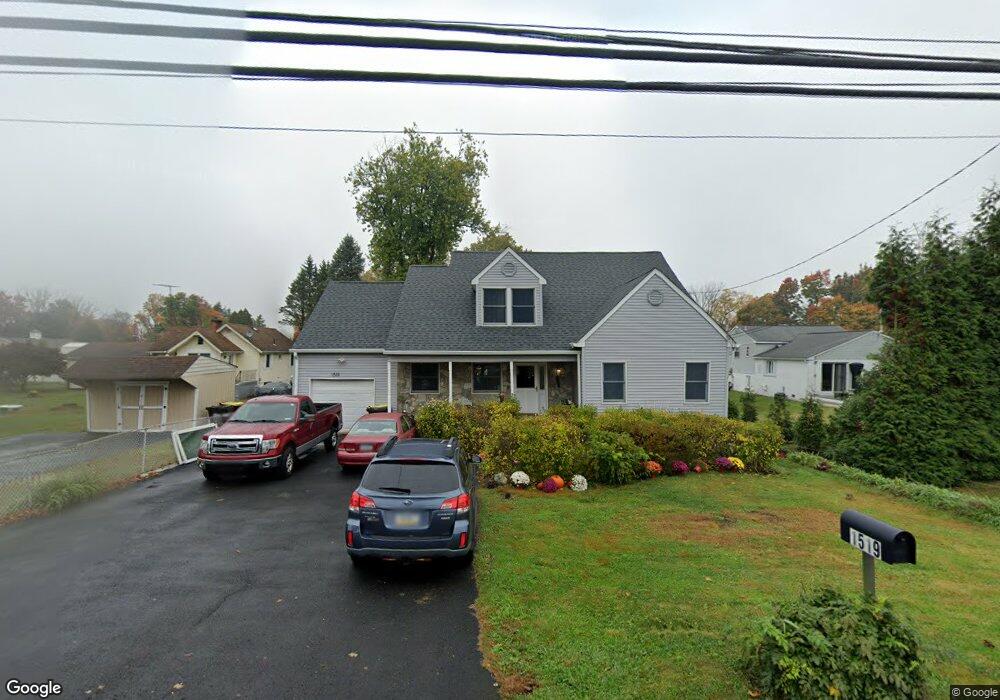
1519 Bensalem Blvd Bensalem, PA 19020
Neshaminy Valley NeighborhoodEstimated Value: $350,971 - $508,000
2
Beds
2
Baths
1,208
Sq Ft
$336/Sq Ft
Est. Value
About This Home
This home is located at 1519 Bensalem Blvd, Bensalem, PA 19020 and is currently estimated at $405,493, approximately $335 per square foot. 1519 Bensalem Blvd is a home located in Bucks County with nearby schools including Valley Elementary School, Queen of the Universe School, and St. Ephrem School.
Ownership History
Date
Name
Owned For
Owner Type
Purchase Details
Closed on
Dec 30, 1993
Sold by
Robinson William H and Robinson Dorothy E
Bought by
Biddle Helen M
Current Estimated Value
Home Financials for this Owner
Home Financials are based on the most recent Mortgage that was taken out on this home.
Original Mortgage
$88,000
Interest Rate
7.11%
Purchase Details
Closed on
Feb 14, 1980
Bought by
Robinson William H and Robinson Dorothy E
Create a Home Valuation Report for This Property
The Home Valuation Report is an in-depth analysis detailing your home's value as well as a comparison with similar homes in the area
Home Values in the Area
Average Home Value in this Area
Purchase History
| Date | Buyer | Sale Price | Title Company |
|---|---|---|---|
| Biddle Helen M | $110,000 | -- | |
| Robinson William H | $49,000 | -- |
Source: Public Records
Mortgage History
| Date | Status | Borrower | Loan Amount |
|---|---|---|---|
| Closed | Biddle Helen M | $88,000 |
Source: Public Records
Tax History Compared to Growth
Tax History
| Year | Tax Paid | Tax Assessment Tax Assessment Total Assessment is a certain percentage of the fair market value that is determined by local assessors to be the total taxable value of land and additions on the property. | Land | Improvement |
|---|---|---|---|---|
| 2025 | $3,659 | $16,760 | $2,440 | $14,320 |
| 2024 | $3,659 | $16,760 | $2,440 | $14,320 |
| 2023 | $3,555 | $16,760 | $2,440 | $14,320 |
| 2022 | $3,535 | $16,760 | $2,440 | $14,320 |
| 2021 | $3,535 | $16,760 | $2,440 | $14,320 |
| 2020 | $3,499 | $16,760 | $2,440 | $14,320 |
| 2019 | $3,421 | $16,760 | $2,440 | $14,320 |
| 2018 | $3,342 | $16,760 | $2,440 | $14,320 |
| 2017 | $3,321 | $16,760 | $2,440 | $14,320 |
| 2016 | $3,321 | $16,760 | $2,440 | $14,320 |
| 2015 | -- | $16,760 | $2,440 | $14,320 |
| 2014 | -- | $16,760 | $2,440 | $14,320 |
Source: Public Records
Map
Nearby Homes
- 1407 Cornflower Ln
- 1838 Sheri Rd
- 524 Washington Ave
- 6130 Clearview Ave
- 6124 Clearview Ave
- 301 Main St
- 5813 Edge Ave
- 5817 Cricket Ln
- 927 Bellevue Ave
- L:003 Newportville Rd
- 3200 Ellington Ct
- 2132 Durham Rd
- 1734 Gibson Rd Unit 1
- 5762 Prescott Ct
- 1790 Gibson Rd Unit 69
- 2493 Barnsleigh Dr
- 1852 Gibson Rd Unit 58
- 6501 Saratoga Turn
- 0 Durham Rd
- 1446 Gibson Rd Unit D50
- 6316 Edge Ave
- 6328 Edge Ave
- 1527 Bensalem Blvd
- 6338 Edge Ave
- 1533 Bensalem Blvd
- 1512 Bensalem Blvd
- 1528 Bensalem Blvd
- 6327 Garrett Ave
- 1549 Bensalem Blvd
- 1419 Bensalem Blvd
- 6348 Edge Ave
- 6299 Edge Ave
- 1550 Bensalem Blvd
- 6357 Garrett Ave
- Lot 1 Garrett Ave
- 6293 Edge Ave
- 6265 Garrett Ave
- 6234 Edge Ave
- 6353 Edge Ave
- 6259 Garrett Ave