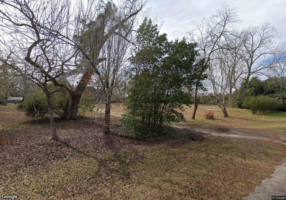
Estimated Value: $161,000 - $458,000
3
Beds
2
Baths
2,705
Sq Ft
$123/Sq Ft
Est. Value
About This Home
This home is located at 1519 Mayfield Rd, Cairo, GA 39828 and is currently estimated at $332,614, approximately $122 per square foot. 1519 Mayfield Rd is a home.
Ownership History
Date
Name
Owned For
Owner Type
Purchase Details
Closed on
Aug 18, 2017
Bought by
Bracewell Judson Lloyd
Current Estimated Value
Home Financials for this Owner
Home Financials are based on the most recent Mortgage that was taken out on this home.
Original Mortgage
$92,767
Outstanding Balance
$77,407
Interest Rate
3.96%
Mortgage Type
New Conventional
Estimated Equity
$255,207
Purchase Details
Closed on
Apr 10, 2017
Sold by
Maxwell Leonard W
Bought by
Fam Bank
Purchase Details
Closed on
Mar 29, 2009
Sold by
Johnson Carrie Etta
Bought by
Maxwell Leonard W and Maxwell Elizabeth L
Purchase Details
Closed on
Sep 19, 2008
Sold by
Maxwell Leonard
Bought by
Johnson Carrie
Purchase Details
Closed on
Nov 8, 1991
Bought by
Maxwell Leonard W
Create a Home Valuation Report for This Property
The Home Valuation Report is an in-depth analysis detailing your home's value as well as a comparison with similar homes in the area
Purchase History
| Date | Buyer | Sale Price | Title Company |
|---|---|---|---|
| Bracewell Judson Lloyd | $92,000 | -- | |
| Fam Bank | -- | -- | |
| Maxwell Leonard W | -- | -- | |
| Johnson Carrie | -- | -- | |
| Maxwell Leonard W | -- | -- |
Source: Public Records
Mortgage History
| Date | Status | Borrower | Loan Amount |
|---|---|---|---|
| Open | Bracewell Judson Lloyd | $92,767 |
Source: Public Records
Tax History
| Year | Tax Paid | Tax Assessment Tax Assessment Total Assessment is a certain percentage of the fair market value that is determined by local assessors to be the total taxable value of land and additions on the property. | Land | Improvement |
|---|---|---|---|---|
| 2024 | $1,038 | $102,875 | $35,473 | $67,402 |
| 2023 | $1,038 | $52,632 | $27,607 | $25,025 |
| 2022 | $1,445 | $52,632 | $27,607 | $25,025 |
| 2021 | $1,032 | $52,632 | $27,607 | $25,025 |
| 2020 | $1,030 | $52,632 | $27,607 | $25,025 |
| 2019 | $894 | $46,375 | $27,607 | $18,768 |
| 2018 | $692 | $46,375 | $27,607 | $18,768 |
| 2017 | $1,284 | $46,375 | $27,607 | $18,768 |
| 2016 | $335 | $43,566 | $27,607 | $15,960 |
| 2015 | -- | $43,566 | $27,607 | $15,960 |
| 2014 | $324 | $43,566 | $27,607 | $15,960 |
| 2013 | -- | $46,480 | $31,550 | $14,930 |
Source: Public Records
Map
Nearby Homes
- 198 2nd Ave
- 4258 Lower Hawthorne Trail
- 48 Blue Bird Ct
- 71 Bob White Trail
- 7667 Tallahassee Hwy
- 0 Fla-Ga Hwy Unit 355337
- 182 Bell Rd
- XXXX Xxxx Fairbanks Ferry
- 36 Horseshoe Rd
- Hwy 27
- 15222 High Hill Cir
- 170 Pine Top Trail
- 4479 Fairbanks Ferry Rd
- 9778 Florida Georgia Hwy
- 00 Tired Creek Rd
- 404 Beaver Lake Rd
- 290 Schwall Rd
- 4761 Hadley Ferry Road (428+ - Acres)
- 1447 Deer Run Rd
- 3695 Tired Creek Rd
- 1519 Mayfield Rd
- 1421 Mayfield Rd
- 1520 Mayfield Rd
- 169 Thomas Rd
- 1667 Mayfield Rd
- 195 Thomas Rd
- 1626 Mayfield Rd
- 345 Thomas Rd
- 221 Thomas Rd
- 122 Beck Branch Rd
- 116 4th Ave
- 121 4th Ave
- 7667 Tallahassee Hwy
- 234 Herring Rd
- 196 Beck Branch Rd
- 384 Thomas Rd
- 125 2nd Ave
- 106 4th Ave
- 184 Carr St
- 433 Thomas Rd
