1519 Memorial Dr Conroe, TX 77304
Estimated Value: $372,000 - $384,000
4
Beds
3
Baths
2,792
Sq Ft
$135/Sq Ft
Est. Value
About This Home
This home is located at 1519 Memorial Dr, Conroe, TX 77304 and is currently estimated at $378,110, approximately $135 per square foot. 1519 Memorial Dr is a home located in Montgomery County with nearby schools including Giesinger Elementary School, Cryar Intermediate School, and Peet Junior High School.
Ownership History
Date
Name
Owned For
Owner Type
Purchase Details
Closed on
Oct 31, 2019
Sold by
Johnson Linsey Elissa
Bought by
Dorsett Margaret Elissa
Current Estimated Value
Purchase Details
Closed on
Apr 24, 2015
Sold by
Atkinson James T and Atkinson Jo Ann
Bought by
Johnson Linsey Elissa L
Home Financials for this Owner
Home Financials are based on the most recent Mortgage that was taken out on this home.
Original Mortgage
$188,000
Interest Rate
3.84%
Mortgage Type
Purchase Money Mortgage
Purchase Details
Closed on
Jan 18, 2000
Sold by
Roddy Kenneth R and Roddy Suzanne T
Bought by
Atkinson James T and Atkinson Jo Ann
Home Financials for this Owner
Home Financials are based on the most recent Mortgage that was taken out on this home.
Original Mortgage
$102,400
Interest Rate
7.86%
Create a Home Valuation Report for This Property
The Home Valuation Report is an in-depth analysis detailing your home's value as well as a comparison with similar homes in the area
Home Values in the Area
Average Home Value in this Area
Purchase History
| Date | Buyer | Sale Price | Title Company |
|---|---|---|---|
| Dorsett Margaret Elissa | -- | None Available | |
| Johnson Linsey Elissa L | -- | First American Title | |
| Atkinson James T | -- | First Surety Title Company |
Source: Public Records
Mortgage History
| Date | Status | Borrower | Loan Amount |
|---|---|---|---|
| Previous Owner | Johnson Linsey Elissa L | $188,000 | |
| Previous Owner | Atkinson James T | $102,400 |
Source: Public Records
Tax History
| Year | Tax Paid | Tax Assessment Tax Assessment Total Assessment is a certain percentage of the fair market value that is determined by local assessors to be the total taxable value of land and additions on the property. | Land | Improvement |
|---|---|---|---|---|
| 2025 | $4,331 | $307,000 | $30,902 | $276,098 |
| 2024 | $3,853 | $304,667 | -- | -- |
| 2023 | $3,853 | $276,970 | $30,900 | $325,820 |
| 2022 | $5,222 | $251,790 | $30,900 | $266,670 |
| 2021 | $5,004 | $228,900 | $30,900 | $198,000 |
| 2020 | $5,223 | $228,900 | $30,900 | $198,000 |
| 2019 | $5,198 | $222,890 | $30,900 | $191,990 |
| 2018 | $4,914 | $258,380 | $30,900 | $227,480 |
| 2017 | $6,049 | $258,380 | $30,900 | $227,480 |
| 2016 | $5,832 | $249,130 | $30,900 | $218,230 |
| 2015 | $1,722 | $170,210 | $30,900 | $155,000 |
| 2014 | $1,722 | $150,120 | $30,900 | $119,220 |
Source: Public Records
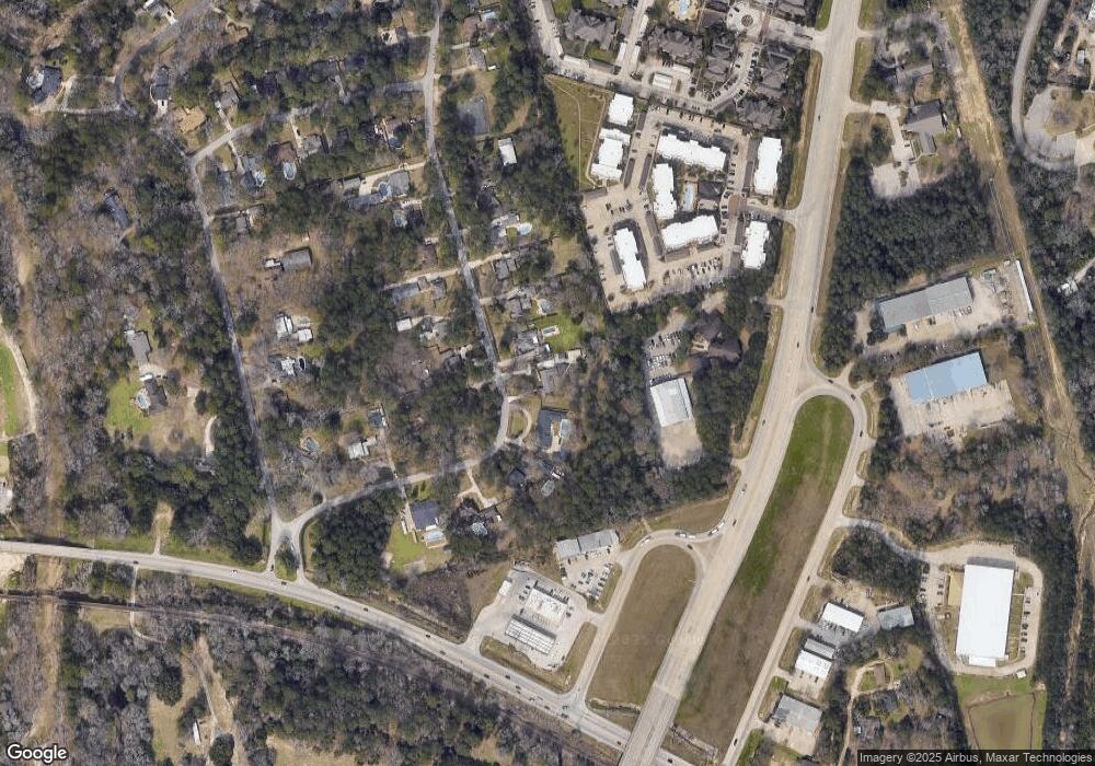
Map
Nearby Homes
- 1555 Oconnor Dr
- 1957 Ogrady Dr
- 3&4 Broadmoor Ct
- 4813 W Fork Blvd
- 211 Garden W
- 4770 Jackson Square Dr
- 4787 Jackson Square Dr
- 319 Falling Pine Dr
- 2037 Vanamen Ct
- 200 Broken Bough Ln
- 215 Garden Rd W
- 112 Broken Bough Ln
- 1523 Cafe Dumonde
- 109 Timberside Dr
- 74 Oak Grove Ln
- 112 Timberside Dr
- 1622 Beau Rivage
- 116 Silverbow Creek Way
- 305 Wild Fork Ct
- 1538 Cafe Dumonde
- 1523 Memorial Dr
- 1515 Memorial Dr
- 1527 Memorial Dr
- 1512 Memorial Dr
- 1522 Memorial Dr
- 1511 Memorial Dr
- 1526 Memorial Dr
- 1531 Memorial Dr
- 1508 Memorial Dr
- 1507 Memorial Dr
- 1535 Memorial Dr
- 1530 Memorial Dr
- 1534 Memorial Dr
- 1503 Memorial Dr
- 1539 Memorial Dr
- 1504 Memorial Dr
- 1538 Memorial Dr
- 3400 N Loop 336 W Unit 214
- 3400 N Loop 336 W Unit 512
- 3400 N Loop 336 W Unit 215
Your Personal Tour Guide
Ask me questions while you tour the home.