1519 Olmstead Rd Kalamazoo, MI 49048
2
Beds
2
Baths
900
Sq Ft
6.52
Acres
About This Home
This home is located at 1519 Olmstead Rd, Kalamazoo, MI 49048. 1519 Olmstead Rd is a home located in Kalamazoo County with nearby schools including Edison Environmental Science Academy, Milwood Magnet School, and Loy Norrix High School.
Ownership History
Date
Name
Owned For
Owner Type
Purchase Details
Closed on
Jun 15, 2016
Sold by
Sherwood Forest Estates Llc
Bought by
Kalamazoo Mhp Llc
Purchase Details
Closed on
May 4, 2012
Sold by
Special Services Asset Management Compan
Bought by
Sherwood Forest Estates Llc
Purchase Details
Closed on
Jun 6, 2011
Sold by
Sherwood Forest Mhp Llc
Bought by
Special Services Asset Management Compan
Purchase Details
Closed on
May 3, 2004
Sold by
Concord Associates
Bought by
Sherwood Forest Mhp Llc
Create a Home Valuation Report for This Property
The Home Valuation Report is an in-depth analysis detailing your home's value as well as a comparison with similar homes in the area
Home Values in the Area
Average Home Value in this Area
Purchase History
| Date | Buyer | Sale Price | Title Company |
|---|---|---|---|
| Kalamazoo Mhp Llc | $460,000 | First American Title | |
| Sherwood Forest Estates Llc | -- | First American Title | |
| Special Services Asset Management Compan | $686,758 | None Available | |
| Sherwood Forest Mhp Llc | -- | Metropolitan | |
| Sherwood Forest Mhp Llc | -- | Transnation Title |
Source: Public Records
Mortgage History
| Date | Status | Borrower | Loan Amount |
|---|---|---|---|
| Closed | Sherwood Forest Mhp Llc | $0 |
Source: Public Records
Tax History Compared to Growth
Tax History
| Year | Tax Paid | Tax Assessment Tax Assessment Total Assessment is a certain percentage of the fair market value that is determined by local assessors to be the total taxable value of land and additions on the property. | Land | Improvement |
|---|---|---|---|---|
| 2025 | $12,157 | $215,700 | $0 | $0 |
| 2024 | $1,815 | $217,400 | $0 | $0 |
| 2023 | $1,730 | $181,300 | $0 | $0 |
| 2022 | $11,017 | $166,900 | $0 | $0 |
| 2021 | $10,399 | $176,300 | $0 | $0 |
| 2020 | $10,246 | $166,700 | $0 | $0 |
| 2019 | $9,894 | $159,000 | $0 | $0 |
| 2018 | $9,664 | $177,400 | $0 | $0 |
| 2017 | $0 | $177,400 | $0 | $0 |
| 2016 | -- | $168,500 | $0 | $0 |
| 2015 | -- | $165,600 | $0 | $0 |
| 2014 | -- | $165,000 | $0 | $0 |
Source: Public Records
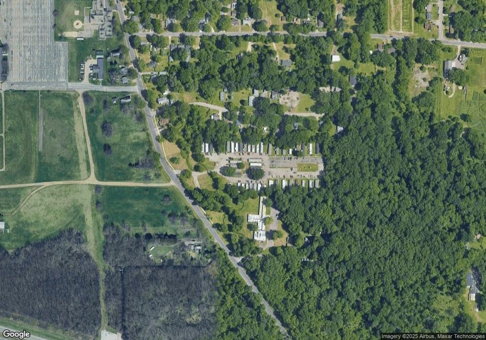
Map
Nearby Homes
- 3233 Greenfield Ave
- 3111 Carleton Ave
- 1116 Surprise Ave
- 3714 Lake St
- 3511 Miller Rd
- 1118 Willis Ave
- 5287 Comstock Ave
- 2008 E Stockbridge Ave
- 2211 Roseland Ave
- 5503 Comstock Ave
- 619 Lake St
- 3635 E Cork St
- 5179 E Michigan Ave
- 1707 E Stockbridge Ave
- 1719 Palmer Ave
- 5794 Celery St
- 1517 E Stockbridge Ave
- 5830 Celery St
- 1424 Lay Blvd
- 1510 Palmer Ave
- 3420 Stewart Dr
- 3412 Stewart Dr
- 3426 Stewart Dr
- 3408 Stewart Dr
- 3502 Stewart Dr
- 0 Stewart Dr
- 1701 Olmstead Rd
- 3512 Stewart Dr
- 3330 Stewart Dr
- 1707 Olmstead Rd
- 1707 Olmstead Rd
- 1707 Olmstead Rd
- 3417 Stewart Dr
- 3425 Stewart Dr
- 3526 Stewart Dr
- 3501 Stewart Dr
- 3401 Stewart Dr
- 3505 Stewart Dr
- 3505 Stewart Dr
- 3505 Stewart Dr