Estimated Value: $292,000 - $324,000
3
Beds
2
Baths
--
Sq Ft
1.26
Acres
About This Home
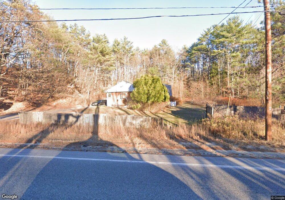
This home is located at 1519 Pequawket Trail, Hiram, ME 04041 and is currently estimated at $312,404. 1519 Pequawket Trail is a home located in Oxford County.
Ownership History
Date
Name
Owned For
Owner Type
Purchase Details
Closed on
Dec 13, 2007
Sold by
Corey Beth
Bought by
Corey Beth and Corey Michael
Current Estimated Value
Purchase Details
Closed on
Mar 16, 2006
Sold by
Shields Michael D and Shields Brenda
Bought by
Gosselin Beth and Corey Michael
Home Financials for this Owner
Home Financials are based on the most recent Mortgage that was taken out on this home.
Original Mortgage
$124,000
Outstanding Balance
$77,396
Interest Rate
8%
Mortgage Type
Commercial
Estimated Equity
$235,008
Create a Home Valuation Report for This Property
The Home Valuation Report is an in-depth analysis detailing your home's value as well as a comparison with similar homes in the area
Home Values in the Area
Average Home Value in this Area
Purchase History
| Date | Buyer | Sale Price | Title Company |
|---|---|---|---|
| Corey Beth | -- | -- | |
| Gosselin Beth | -- | -- |
Source: Public Records
Mortgage History
| Date | Status | Borrower | Loan Amount |
|---|---|---|---|
| Open | Gosselin Beth | $124,000 |
Source: Public Records
Tax History Compared to Growth
Tax History
| Year | Tax Paid | Tax Assessment Tax Assessment Total Assessment is a certain percentage of the fair market value that is determined by local assessors to be the total taxable value of land and additions on the property. | Land | Improvement |
|---|---|---|---|---|
| 2024 | $2,247 | $206,480 | $40,220 | $166,260 |
| 2023 | $2,225 | $180,030 | $32,170 | $147,860 |
| 2022 | $2,005 | $136,180 | $26,810 | $109,370 |
| 2021 | $1,990 | $136,180 | $26,810 | $109,370 |
| 2020 | $547 | $136,180 | $26,810 | $109,370 |
| 2019 | $1,980 | $136,180 | $26,810 | $109,370 |
| 2018 | $1,984 | $136,180 | $26,810 | $109,370 |
| 2017 | $1,946 | $136,180 | $26,810 | $109,370 |
| 2016 | $2,000 | $136,180 | $26,810 | $109,370 |
Source: Public Records
Map
Nearby Homes
- 94 Hiram Hill Rd
- 21 Dearborn Rd
- 15 Richardson Rd
- Lot U17-6 Narrow Gauge Trail
- 341 Narrow Gauge Trail
- 75 Ernest Day Rd
- 1044 Pequawket Trail
- 8 Graffam Rd
- 30 Graffam Rd
- 992 Pequawket Trail
- 401 Convene Rd
- Lot 43 Rattlesnake Rd
- 697 Bull Ring Rd
- 15 Promised Land Dr
- 123 Rattlesnake Rd
- 9 Whale Rock Ln
- 34 Cricket Ln
- 10 Heart Rd
- 314 Notch Rd
- 796 Tripptown Rd
- 1539 Pequawket Trail
- 14 Maple St
- 1199 River Rd
- 1475 Pequawket Trail
- 8 Maple St
- 10 Mountain View Ave
- 4 Maple St
- 8 Mountain View Ave
- L5 Maple St
- Lot 3 Maple St
- Lot 7 Maple St
- 0 Maple St
- 001 River Rd
- 1568 Pequawket Trail
- 3 Mountain View Ave
- 1188 River Rd
- 17 Mountain View Ave
- 1232 River Rd
- 8 Main St
- 13 Main St