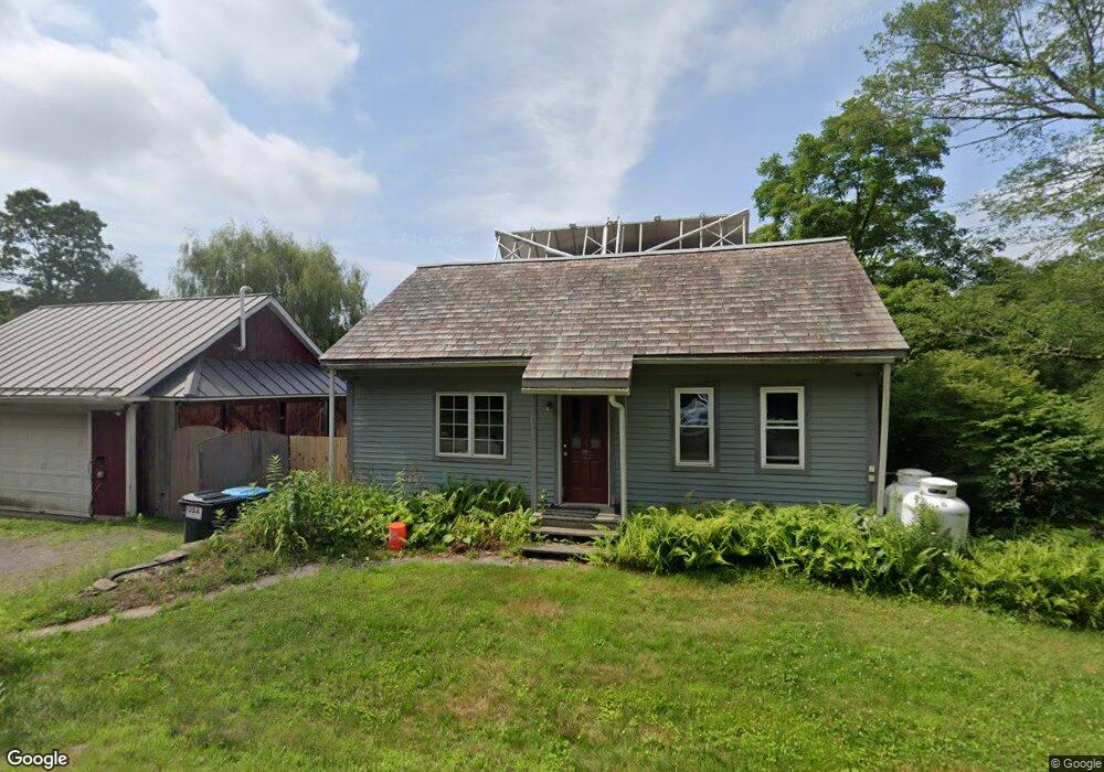
151B N Leverett Rd Leverett, MA 01054
Estimated Value: $626,000 - $718,000
4
Beds
3
Baths
3,622
Sq Ft
$184/Sq Ft
Est. Value
About This Home
This home is located at 151B N Leverett Rd, Leverett, MA 01054 and is currently estimated at $665,182, approximately $183 per square foot. 151B N Leverett Rd is a home located in Franklin County with nearby schools including Leverett Elementary School, Amherst Regional Middle School, and Amherst Regional High School.
Ownership History
Date
Name
Owned For
Owner Type
Purchase Details
Closed on
Aug 29, 1996
Sold by
Alwes Derek B
Bought by
Coppinger Timothy L and Coppinger Lise B
Current Estimated Value
Home Financials for this Owner
Home Financials are based on the most recent Mortgage that was taken out on this home.
Original Mortgage
$113,600
Interest Rate
8.18%
Mortgage Type
Purchase Money Mortgage
Create a Home Valuation Report for This Property
The Home Valuation Report is an in-depth analysis detailing your home's value as well as a comparison with similar homes in the area
Home Values in the Area
Average Home Value in this Area
Purchase History
| Date | Buyer | Sale Price | Title Company |
|---|---|---|---|
| Coppinger Timothy L | $142,000 | -- |
Source: Public Records
Mortgage History
| Date | Status | Borrower | Loan Amount |
|---|---|---|---|
| Open | Coppinger Timothy L | $129,750 | |
| Closed | Coppinger Timothy L | $113,600 |
Source: Public Records
Tax History Compared to Growth
Tax History
| Year | Tax Paid | Tax Assessment Tax Assessment Total Assessment is a certain percentage of the fair market value that is determined by local assessors to be the total taxable value of land and additions on the property. | Land | Improvement |
|---|---|---|---|---|
| 2025 | $8,810 | $580,400 | $65,200 | $515,200 |
| 2024 | $9,124 | $580,400 | $65,200 | $515,200 |
| 2023 | $8,846 | $552,200 | $75,600 | $476,600 |
| 2022 | $8,685 | $461,000 | $70,300 | $390,700 |
| 2021 | $8,825 | $447,300 | $66,900 | $380,400 |
| 2020 | $9,022 | $440,300 | $66,900 | $373,400 |
| 2019 | $9,020 | $431,800 | $58,400 | $373,400 |
| 2018 | $8,572 | $407,200 | $58,400 | $348,800 |
| 2017 | $8,531 | $407,200 | $58,400 | $348,800 |
| 2016 | $8,311 | $407,200 | $58,400 | $348,800 |
| 2015 | $8,095 | $407,200 | $58,400 | $348,800 |
Source: Public Records
Map
Nearby Homes
- 10 Hannabrooke Dr
- 0 Dudleyville Rd
- 45 Cave Hill Rd
- 7 Jackson Hill Rd
- 39 N Leverett Rd
- 133 Lakeview Rd
- 35 A N Leverett Rd
- 36 Merrill Dr
- 72 Reservation Rd
- 85 Lake Dr
- 84 Lake Dr
- 0 Shore Dr
- 4 West St
- 495 Federal St Unit B
- 55 Putney Rd
- 259 Long Plain Rd
- 64 Main St
- Lot 31 Wendell Rd
- 1 Broad Hill Rd
- 240 Federal St Unit 240
- 158 N Leverett Rd
- 143 N Leverett Rd
- 144 N Leverett Rd
- 164 N Leverett Rd
- 137 N Leverett Rd
- 175 N Leverett Rd
- 88 Hemenway Rd
- 172 N Leverett Rd
- 134 N Leverett Rd
- 179 N Leverett Rd
- 180 N Leverett Rd
- 131 N Leverett Rd
- 74 Hemenway Rd
- 100 Hemenway Rd
- 106 Hemenway Rd
- Lot 1 Hemenway Rd
- 128 N Leverett Rd
- 17 Richardson Rd
- 87 Hemenway Rd
- 105 Hemenway Rd