


152 Acres Hwy 63 Bloomfield, IA 52537
Estimated payment $8,764/month
152
Acres
$9,211
Price per Acre
6,621,120
Sq Ft Lot
About This Lot
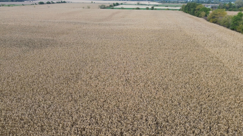
Highly Tillable Crop Farm Located on Hwy 63 & 2 Just West of Bloomfield. 152 Acres M/L Total with 131 Acres Currently in Cropland (Average CSR2 of 49.7 on the Tillable), 10.5 Acres Timber. Very Nice Commercial Site or Building Site with All Utilities Available at the Road.
Listing Provided By

Property Details
Property Type
- Land
Lot Details
- Rural Setting
- Barbed Wire
- Perimeter Fence
- Level Lot
- Few Trees
- Current uses include agriculture, residential single, row crop, timber
- Potential uses include agriculture, hunting/fishing, residential single, timber
Farming
- Crops include corn, soybeans
- Fenced For Cattle
Additional Features
- Wildlife includes whitetail deer, quails, pheasants, turkeys
- Easements include utilities
- Horses Allowed On Property
- Overhead Utilities
Map
Create a Home Valuation Report for This Property
The Home Valuation Report is an in-depth analysis detailing your home's value as well as a comparison with similar homes in the area
Home Values in the Area
Average Home Value in this Area
Property History
| Date | Event | Price | List to Sale | Price per Sq Ft |
|---|---|---|---|---|
| 12/13/2025 12/13/25 | For Sale | $1,400,000 | -- | -- |
Nearby Homes
- 19743 212th St
- 906 W Chestnut St
- 293rd Street
- 702 W Walnut St
- 608 W Franklin St
- 603 W Walnut St
- 601 W Chestnut St
- 408 W Chestnut St
- 502 S West St
- 108 N Bloomfield Ave
- 152 A Iowa 2
- 404 Elm St
- 293rd Street
- 402 Goode St
- 0000 Highway 63
- 702 S Washington St
- 416 N Madison St
- 507 N Washington St
- 201 Gregory Ln
- 406 E Chestnut St