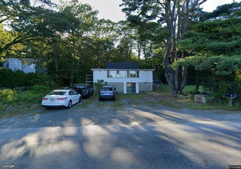
152 Atlantic St Gloucester, MA 01930
West Gloucester NeighborhoodEstimated Value: $725,000 - $834,000
3
Beds
2
Baths
1,692
Sq Ft
$462/Sq Ft
Est. Value
About This Home
This home is located at 152 Atlantic St, Gloucester, MA 01930 and is currently estimated at $782,079, approximately $462 per square foot. 152 Atlantic St is a home located in Essex County with nearby schools including West Parish, Ralph B O'maley Middle School, and Gloucester High School.
Ownership History
Date
Name
Owned For
Owner Type
Purchase Details
Closed on
Aug 13, 2004
Sold by
Murdock Ann and Murdock Daniel A
Bought by
Lovelace Jonathan E and Lovelace Jennifer A
Current Estimated Value
Purchase Details
Closed on
May 7, 1999
Sold by
Schludecker Nena Est
Bought by
Murdock Daniel A and Murdock Ann
Create a Home Valuation Report for This Property
The Home Valuation Report is an in-depth analysis detailing your home's value as well as a comparison with similar homes in the area
Home Values in the Area
Average Home Value in this Area
Purchase History
| Date | Buyer | Sale Price | Title Company |
|---|---|---|---|
| Lovelace Jonathan E | $400,000 | -- | |
| Murdock Daniel A | $145,000 | -- |
Source: Public Records
Mortgage History
| Date | Status | Borrower | Loan Amount |
|---|---|---|---|
| Open | Murdock Daniel A | $320,000 | |
| Closed | Murdock Daniel A | $100,000 | |
| Closed | Murdock Daniel A | $320,000 |
Source: Public Records
Tax History
| Year | Tax Paid | Tax Assessment Tax Assessment Total Assessment is a certain percentage of the fair market value that is determined by local assessors to be the total taxable value of land and additions on the property. | Land | Improvement |
|---|---|---|---|---|
| 2025 | $6,386 | $657,000 | $295,100 | $361,900 |
| 2024 | $6,223 | $639,600 | $281,100 | $358,500 |
| 2023 | $5,668 | $535,200 | $188,600 | $346,600 |
| 2022 | $5,334 | $454,700 | $164,000 | $290,700 |
| 2021 | $5,390 | $433,300 | $149,200 | $284,100 |
| 2020 | $5,142 | $417,000 | $149,200 | $267,800 |
| 2019 | $4,854 | $382,500 | $149,200 | $233,300 |
| 2018 | $4,594 | $355,300 | $149,200 | $206,100 |
| 2017 | $4,399 | $333,500 | $142,000 | $191,500 |
| 2016 | $4,378 | $321,700 | $148,200 | $173,500 |
| 2015 | $4,309 | $315,700 | $148,200 | $167,500 |
Source: Public Records
Map
Nearby Homes
- 167 Atlantic St
- 178 Atlantic St
- 226 Atlantic St
- 2 Breezy Point Rd
- 13 Honeysuckle Rd
- 672 Washington St
- 3 Deacon Farm Ln
- 31 Echo Ave
- 7 Leaman Dr
- 5 Samoset Rd Unit B
- 24 Cobblestone Ln Unit 603
- 145 Essex Ave Unit 402
- 5 Lepage Ln
- 368 Essex Ave
- 6 Monroe Ct
- 13 Mystic Ave
- 8 Mystic Ave
- 7 Colburn St
- 98 Maplewood Ave
- 15 Harvard St
- 156 Atlantic St
- 4 Sea Fox Ln
- 148 Atlantic St
- 2 Sea Fox Ln
- 6 Sea Fox Ln
- 0 Castleview Road Lot 8 Unit 70742669
- 146 Atlantic St
- 230 Bray St
- 4A Castle View Dr
- 5A Castle View Dr
- 8A Castle View Dr
- 10 Castle View Dr
- 228 Bray St
- 232 Bray St
- 1 Sea Fox Ln
- 8 Sea Fox Ln
- 1 Castle View Dr
- 226 Bray St
- 164 Atlantic St
- 125 Atlantic St
Your Personal Tour Guide
Ask me questions while you tour the home.