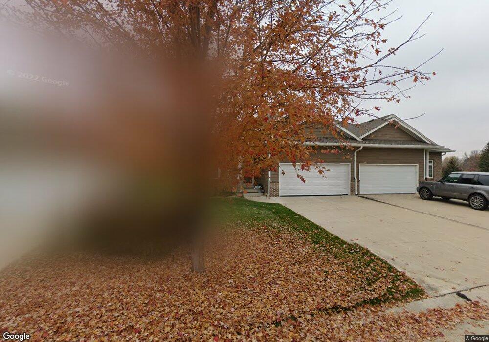
152 Brookline Trail Dakota Dunes, SD 57049
Dakota Dunes NeighborhoodEstimated Value: $321,000 - $476,000
2
Beds
2
Baths
1,305
Sq Ft
$300/Sq Ft
Est. Value
About This Home
This home is located at 152 Brookline Trail, Dakota Dunes, SD 57049 and is currently estimated at $391,712, approximately $300 per square foot. 152 Brookline Trail is a home located in Union County with nearby schools including Dakota Valley Elementary School, Dakota Valley Junior High School, and Dakota Valley High School.
Ownership History
Date
Name
Owned For
Owner Type
Purchase Details
Closed on
May 1, 2009
Sold by
Brookline Development Llc
Bought by
Craig Sherry R
Current Estimated Value
Home Financials for this Owner
Home Financials are based on the most recent Mortgage that was taken out on this home.
Original Mortgage
$70,000
Outstanding Balance
$43,989
Interest Rate
4.83%
Mortgage Type
New Conventional
Estimated Equity
$347,723
Create a Home Valuation Report for This Property
The Home Valuation Report is an in-depth analysis detailing your home's value as well as a comparison with similar homes in the area
Home Values in the Area
Average Home Value in this Area
Purchase History
| Date | Buyer | Sale Price | Title Company |
|---|---|---|---|
| Craig Sherry R | $186,000 | None Available |
Source: Public Records
Mortgage History
| Date | Status | Borrower | Loan Amount |
|---|---|---|---|
| Open | Craig Sherry R | $70,000 |
Source: Public Records
Tax History Compared to Growth
Tax History
| Year | Tax Paid | Tax Assessment Tax Assessment Total Assessment is a certain percentage of the fair market value that is determined by local assessors to be the total taxable value of land and additions on the property. | Land | Improvement |
|---|---|---|---|---|
| 2025 | $4,994 | $364,585 | $25,300 | $339,285 |
| 2024 | $4,994 | $320,330 | $25,300 | $295,030 |
| 2023 | $4,719 | $320,330 | $25,300 | $295,030 |
| 2022 | $4,286 | $278,548 | $22,000 | $256,548 |
| 2021 | $4,246 | $253,225 | $20,000 | $233,225 |
| 2020 | $4,052 | $242,119 | $20,000 | $222,119 |
| 2019 | $3,727 | $231,542 | $20,000 | $211,542 |
| 2018 | $3,790 | $221,469 | $20,000 | $201,469 |
| 2017 | $3,564 | $221,469 | $0 | $221,469 |
| 2016 | $3,749 | $211,875 | $0 | $211,875 |
| 2015 | $3,749 | $211,875 | $0 | $211,875 |
| 2014 | $3,346 | $180,630 | $0 | $180,630 |
| 2013 | $3,463 | $180,630 | $0 | $180,630 |
| 2012 | $3,463 | $180,630 | $20,000 | $160,630 |
Source: Public Records
Map
Nearby Homes
- 165 Prairie Bend
- 102 Levee Trail
- 170 Saddlebrook Ct
- 155 W Pinehurst Trail
- 335 Champions Ct
- 709 Cherry Hills Ln
- 242 E Sawgrass Trail
- 426 Fawn Hollow
- 398 W Pinehurst Trail
- 312 Inverness Trail
- 593 Fox Cir
- 618 Prairie Blvd
- 392 Inverness Trail
- 215 W Sawgrass Trail
- 405 N Royal Troon
- 573 Oxbow Trail
- 872 Crooked Tree Ln
- 707 Prairie Blvd
- 572 Bluestem Trail
- 573 Sandstone Cir
- 142 Brookline Trail
- 162 Brookline Trail
- 172 Brookline Trail
- 132 Brookline Trail
- 182 Brookline Trail
- 122 Brookline Trail
- 147 Brookline Trail
- 192 Brookline Trail
- 157 Brookline Trail
- 157 Brookline Trail Unit Trail
- 112 Brookline Trail
- 167 Brookline Trail
- 102 Brookline Trail
- 177 Brookline Trail
- 202 Brookline Trail
- 187 Brookline Trail
- 212 Brookline Trail
- 197 Brookline Trail
- 117 Doral Ln
- 115 Doral Ln