152 Colbath Rd Center Barnstead, NH 03225
Estimated Value: $479,000 - $639,000
3
Beds
2
Baths
2,118
Sq Ft
$255/Sq Ft
Est. Value
About This Home
This home is located at 152 Colbath Rd, Center Barnstead, NH 03225 and is currently estimated at $540,451, approximately $255 per square foot. 152 Colbath Rd is a home with nearby schools including Barnstead Elementary School and Prospect Mountain High School.
Ownership History
Date
Name
Owned For
Owner Type
Purchase Details
Closed on
Jul 24, 2000
Sold by
Teles Simon and Teles Filomena
Bought by
Gagnon Ted C and Gagnon Lori A
Current Estimated Value
Home Financials for this Owner
Home Financials are based on the most recent Mortgage that was taken out on this home.
Original Mortgage
$126,400
Outstanding Balance
$42,808
Interest Rate
8.28%
Estimated Equity
$497,643
Create a Home Valuation Report for This Property
The Home Valuation Report is an in-depth analysis detailing your home's value as well as a comparison with similar homes in the area
Home Values in the Area
Average Home Value in this Area
Purchase History
| Date | Buyer | Sale Price | Title Company |
|---|---|---|---|
| Gagnon Ted C | $158,000 | -- |
Source: Public Records
Mortgage History
| Date | Status | Borrower | Loan Amount |
|---|---|---|---|
| Open | Gagnon Ted C | $126,400 |
Source: Public Records
Tax History
| Year | Tax Paid | Tax Assessment Tax Assessment Total Assessment is a certain percentage of the fair market value that is determined by local assessors to be the total taxable value of land and additions on the property. | Land | Improvement |
|---|---|---|---|---|
| 2025 | $7,186 | $419,000 | $117,800 | $301,200 |
| 2024 | $6,442 | $395,000 | $117,800 | $277,200 |
| 2023 | $5,668 | $395,000 | $117,800 | $277,200 |
| 2022 | $5,419 | $250,900 | $60,700 | $190,200 |
| 2021 | $5,510 | $250,900 | $60,700 | $190,200 |
| 2020 | $5,796 | $250,900 | $60,700 | $190,200 |
| 2019 | $5,728 | $250,900 | $60,700 | $190,200 |
| 2018 | $5,583 | $250,900 | $60,700 | $190,200 |
| 2017 | $5,358 | $185,400 | $41,700 | $143,700 |
| 2016 | $5,052 | $185,400 | $41,700 | $143,700 |
| 2015 | $5,034 | $185,400 | $41,700 | $143,700 |
| 2014 | $4,560 | $190,300 | $41,700 | $148,600 |
| 2013 | $4,472 | $190,300 | $41,700 | $148,600 |
Source: Public Records
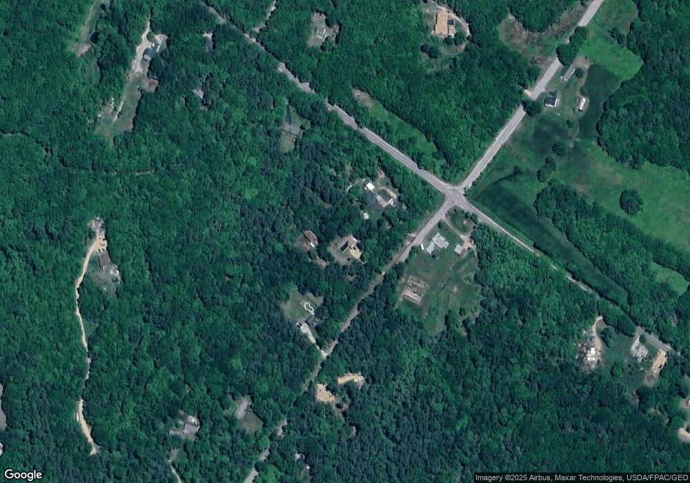
Map
Nearby Homes
- 38 Chapelle Rd
- L68-2 Vail Rd
- 25 Vail Rd
- L68-1 Vail Rd
- 56 Beaver Pond Dr
- 11b Bow Mills Rd
- Lot 72 Holmes Rd
- 58 Winwood Dr
- 956 N Barnstead Rd
- 15 Davis Dr
- 37446 N Shore Washington Dr
- 4 N Shore Dr
- 101 Rogers Rd
- 9 W Hill Place
- 1027 Suncook Valley Rd
- 4 Sandy Point Rd
- 28 Dalton Dr
- Lot 33 Ridge Rd
- 0 Andover Dr Unit 106 5059711
- 96 Damsite Rd
- 136 Colbath Rd
- 161 Colbath Rd
- 15 Pitman Rd
- 535 Shackford Corner Rd
- 131 Colbath Rd
- 37 Canfield Rd
- 525 Shackford Corner Rd
- 540 Shackford Corner Rd
- 119 Colbath Rd
- 20 Pitman Rd
- 154 Canfield Rd
- 140 Canfield Rd
- 19 Pitman Rd
- 509 Shackford Corner Rd
- 528 Shackford Corner Rd
- 56 Colbath Rd
- 37 Holmes Rd
- 3 Chapelle Rd
- 53 Holmes Rd
- 487 Shackford Corner Rd
Your Personal Tour Guide
Ask me questions while you tour the home.