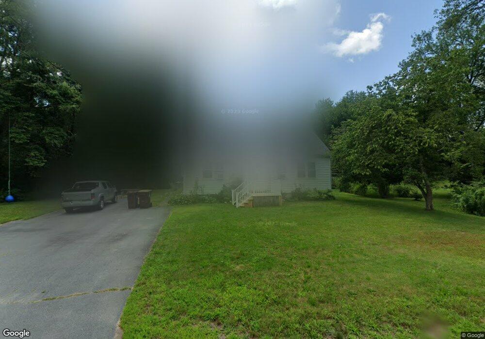
152 Hamlin St Acushnet, MA 02743
Upper Acushnet NeighborhoodEstimated Value: $471,000 - $499,000
Studio
1
Bath
1,738
Sq Ft
$277/Sq Ft
Est. Value
About This Home
This home is located at 152 Hamlin St, Acushnet, MA 02743 and is currently estimated at $481,477, approximately $277 per square foot. 152 Hamlin St is a home located in Bristol County with nearby schools including Acushnet Elementary School, Albert F Ford Middle School, and Alma del Mar Charter School.
Create a Home Valuation Report for This Property
The Home Valuation Report is an in-depth analysis detailing your home's value as well as a comparison with similar homes in the area
Home Values in the Area
Average Home Value in this Area
Tax History
| Year | Tax Paid | Tax Assessment Tax Assessment Total Assessment is a certain percentage of the fair market value that is determined by local assessors to be the total taxable value of land and additions on the property. | Land | Improvement |
|---|---|---|---|---|
| 2025 | $45 | $413,100 | $173,600 | $239,500 |
| 2024 | $4,361 | $382,200 | $164,500 | $217,700 |
| 2023 | $4,361 | $363,400 | $149,300 | $214,100 |
| 2022 | $4,319 | $325,500 | $140,300 | $185,200 |
| 2021 | $4,072 | $294,400 | $140,300 | $154,100 |
| 2020 | $3,978 | $285,400 | $131,300 | $154,100 |
| 2019 | $3,778 | $266,400 | $125,300 | $141,100 |
| 2018 | $5,532 | $254,800 | $125,300 | $129,500 |
| 2017 | $3,050 | $247,500 | $125,300 | $122,200 |
| 2016 | $3,596 | $247,500 | $125,300 | $122,200 |
| 2015 | $3,327 | $233,000 | $125,300 | $107,700 |
Source: Public Records
Map
Nearby Homes
- 25 Pershing Ave
- 23 Oliveira Ave
- 7 Hamlin St
- 363 Main St
- 23 Coury Dr
- 329 Middle Rd
- 27 Meadow Ln
- 12 White St
- 11 Boylston St
- 15 Ball St
- 0 Hathaway Rd Unit 73469544
- 489 Main St
- 134 Nyes Ln
- 65 Armsby St
- 1027 Kenmore St
- 14 Hayes St Unit 1
- 12 Hayes St Unit 1
- 279 Adelaide St
- 2800 Acushnet Ave
- 1077 Shelburne St
Your Personal Tour Guide
Ask me questions while you tour the home.