152 Pheasant Run Cleveland, OH 44124
Estimated Value: $293,000 - $336,000
2
Beds
3
Baths
2,436
Sq Ft
$126/Sq Ft
Est. Value
About This Home
This home is located at 152 Pheasant Run, Cleveland, OH 44124 and is currently estimated at $305,993, approximately $125 per square foot. 152 Pheasant Run is a home located in Cuyahoga County with nearby schools including Mayfield High School, Gilmour Academy, and University School.
Ownership History
Date
Name
Owned For
Owner Type
Purchase Details
Closed on
Nov 13, 2012
Sold by
Federal Home Loan Mortgage Corporation
Bought by
Lee Donald
Current Estimated Value
Purchase Details
Closed on
Aug 16, 2012
Sold by
Dettelbach Thomas L and Dettelbach Myrna C
Bought by
Federal Home Loan Mortgage Corp
Purchase Details
Closed on
Jul 10, 2003
Sold by
Dettelbach Myrna C and Dettelbach Thomas L
Bought by
Dettelbach Thomas L and Dettelbach Myrna C
Home Financials for this Owner
Home Financials are based on the most recent Mortgage that was taken out on this home.
Original Mortgage
$175,000
Interest Rate
5.36%
Mortgage Type
Unknown
Purchase Details
Closed on
Jan 1, 1986
Bought by
Dettelbach Myrna C
Create a Home Valuation Report for This Property
The Home Valuation Report is an in-depth analysis detailing your home's value as well as a comparison with similar homes in the area
Home Values in the Area
Average Home Value in this Area
Purchase History
| Date | Buyer | Sale Price | Title Company |
|---|---|---|---|
| Lee Donald | -- | Intitle Agency Inc | |
| Federal Home Loan Mortgage Corp | $80,000 | None Available | |
| Dettelbach Thomas L | -- | Chicago Title Insurance Co | |
| Dettelbach Myrna C | -- | -- |
Source: Public Records
Mortgage History
| Date | Status | Borrower | Loan Amount |
|---|---|---|---|
| Previous Owner | Dettelbach Thomas L | $175,000 |
Source: Public Records
Tax History Compared to Growth
Tax History
| Year | Tax Paid | Tax Assessment Tax Assessment Total Assessment is a certain percentage of the fair market value that is determined by local assessors to be the total taxable value of land and additions on the property. | Land | Improvement |
|---|---|---|---|---|
| 2024 | $5,372 | $80,815 | $7,735 | $73,080 |
| 2023 | $3,621 | $49,810 | $5,010 | $44,800 |
| 2022 | $3,722 | $49,810 | $5,010 | $44,800 |
| 2021 | $3,686 | $49,810 | $5,010 | $44,800 |
| 2020 | $3,681 | $45,680 | $4,590 | $41,090 |
| 2019 | $3,568 | $130,500 | $13,100 | $117,400 |
| 2018 | $3,342 | $45,680 | $4,590 | $41,090 |
| 2017 | $3,437 | $41,340 | $4,130 | $37,210 |
| 2016 | $3,411 | $41,340 | $4,130 | $37,210 |
| 2015 | $3,916 | $41,340 | $4,130 | $37,210 |
| 2014 | $3,916 | $51,660 | $5,180 | $46,480 |
Source: Public Records
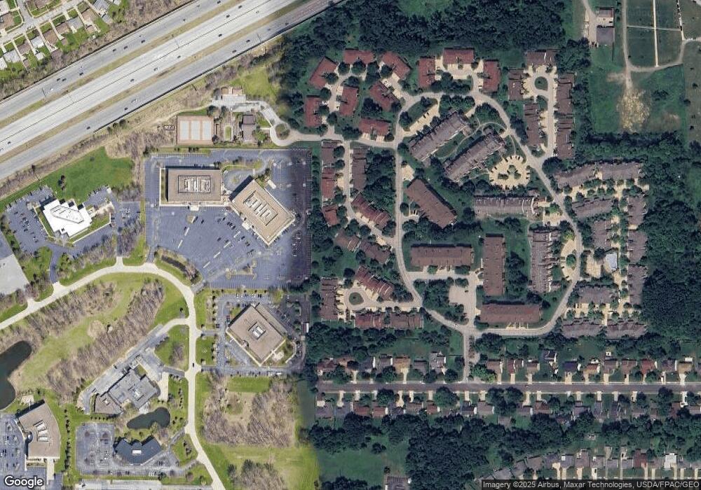
Map
Nearby Homes
- 140 Fox Hollow Dr Unit 201A
- 180 Fox Hollow Dr Unit 105
- 220 Fox Hollow Dr Unit 308
- 200 Fox Hollow Dr Unit 104
- 200 Fox Hollow Dr Unit 100
- 6344 Woodhawk Dr
- 210 Teal Trace Unit 210
- 6419 Longridge Rd
- 6464 Woodhawk Dr
- 6132 Westerham Rd
- 1604 Fruitland Ave
- 1593 Woodhurst Ave
- 1542 Woodhurst Ave
- 1520 Fruitland Ave
- 6578 Gates Mills Blvd
- 46 Bridgeport Way
- 5960 Cantwell Dr
- 43 Bridgeport Way
- 1572 Crestwood Rd
- 1637 Lander Rd
- 152 Pheasant Run Unit 152
- 146 Pheasant Run
- 140 Fox Hollow Dr Unit 207C
- 140 Fox Hollow Dr Unit 407C
- 140 Fox Hollow Dr Unit 401A
- 140 Fox Hollow Dr Unit 307C
- 140 Fox Hollow Dr Unit 402C
- 140 Fox Hollow Dr Unit 305A
- 140 Fox Hollow Dr Unit 304B
- 140 Fox Hollow Dr Unit 404B
- 140 Fox Hollow Dr Unit 306C
- 140 Fox Hollow Dr
- 140 Fox Hollow Dr
- 140 Fox Hollow Dr
- 140 Fox Hollow Dr Unit 303C
- 140 Fox Hollow Dr
- 140 Fox Hollow Dr
- 140 Fox Hollow Dr
- 140 Fox Hollow Dr
- 140 Fox Hollow Dr