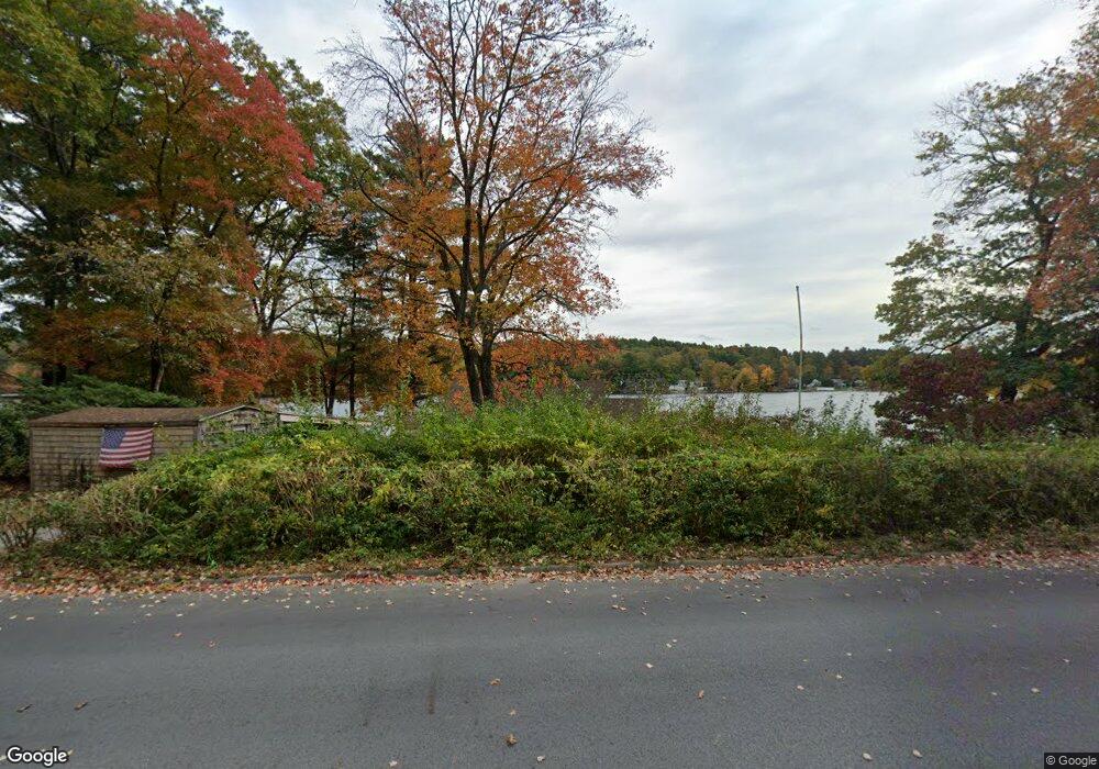
152 Pierpont Rd Dudley, MA 01571
Estimated Value: $451,241 - $501,000
2
Beds
1
Bath
1,272
Sq Ft
$375/Sq Ft
Est. Value
About This Home
This home is located at 152 Pierpont Rd, Dudley, MA 01571 and is currently estimated at $476,560, approximately $374 per square foot. 152 Pierpont Rd is a home located in Worcester County with nearby schools including Shepherd Hill Regional High School and All Saints Academy.
Ownership History
Date
Name
Owned For
Owner Type
Purchase Details
Closed on
May 23, 2014
Sold by
Tuohig Barbara A
Bought by
Tuohig Stephen P
Current Estimated Value
Purchase Details
Closed on
May 27, 2005
Sold by
Gudmundson Lenore C and Coccia Mafalda A
Bought by
Tuohig Barbara A and Tuohig Stephen P
Home Financials for this Owner
Home Financials are based on the most recent Mortgage that was taken out on this home.
Original Mortgage
$211,200
Interest Rate
5.94%
Mortgage Type
Purchase Money Mortgage
Create a Home Valuation Report for This Property
The Home Valuation Report is an in-depth analysis detailing your home's value as well as a comparison with similar homes in the area
Home Values in the Area
Average Home Value in this Area
Purchase History
| Date | Buyer | Sale Price | Title Company |
|---|---|---|---|
| Tuohig Stephen P | $20,000 | -- | |
| Tuohig Barbara A | $264,000 | -- |
Source: Public Records
Mortgage History
| Date | Status | Borrower | Loan Amount |
|---|---|---|---|
| Previous Owner | Tuohig Barbara A | $211,200 |
Source: Public Records
Tax History Compared to Growth
Tax History
| Year | Tax Paid | Tax Assessment Tax Assessment Total Assessment is a certain percentage of the fair market value that is determined by local assessors to be the total taxable value of land and additions on the property. | Land | Improvement |
|---|---|---|---|---|
| 2025 | $45 | $427,900 | $246,600 | $181,300 |
| 2024 | $3,880 | $370,200 | $207,600 | $162,600 |
| 2023 | $3,768 | $370,900 | $211,300 | $159,600 |
| 2022 | $3,423 | $292,600 | $167,300 | $125,300 |
| 2021 | $3,307 | $268,900 | $160,100 | $108,800 |
| 2020 | $0 | $253,600 | $151,800 | $101,800 |
| 2019 | $0 | $245,300 | $145,800 | $99,500 |
| 2018 | $2,877 | $245,300 | $145,800 | $99,500 |
| 2017 | $2,824 | $236,500 | $145,800 | $90,700 |
| 2016 | $2,726 | $223,800 | $134,300 | $89,500 |
| 2015 | $2,692 | $219,600 | $134,300 | $85,300 |
Source: Public Records
Map
Nearby Homes
- 2 Potter Village Rd
- 3 Lelandville Rd
- 2 Lelandville Rd
- Lots 1+16 Pierpont Rd
- Lot 1 Mason Road Extension
- 18 Mckinstry Dr
- 0 Partridge Hill Rd
- 62 Larned Rd
- 337 Mason Road Extension
- 143 Charlton Rd
- 20 Brentwood Dr
- 0 Putnam Rd
- 65 Haggerty Rd
- 58 Colburn Rd
- 28 Holly St
- 76 Number 6 Schoolhouse Rd
- 10 Friar Tuck Ln
- 13 Maid Marion St
- 8 Bacon St
- 3 Willow St
- 154 Pierpont Rd
- 151 Pierpont Rd
- 149 Pierpont Rd
- 146 Pierpont Rd
- 158 Pierpont Rd
- 147 Pierpont Rd
- 0 Noble St
- 144 Pierpont Rd
- 159 Pierpont Rd
- 160 Pierpont Rd
- 142 Pierpont Rd
- 161 Pierpont Rd
- Lot 42 Noble St
- 162 Pierpont Rd
- 140 Pierpont Rd
- Lot 4R Noble St
- 139 Pierpont Rd
- 3 Noble St
- 3 Noble St Unit FALMOUTH
- 3 Noble St Unit 39R