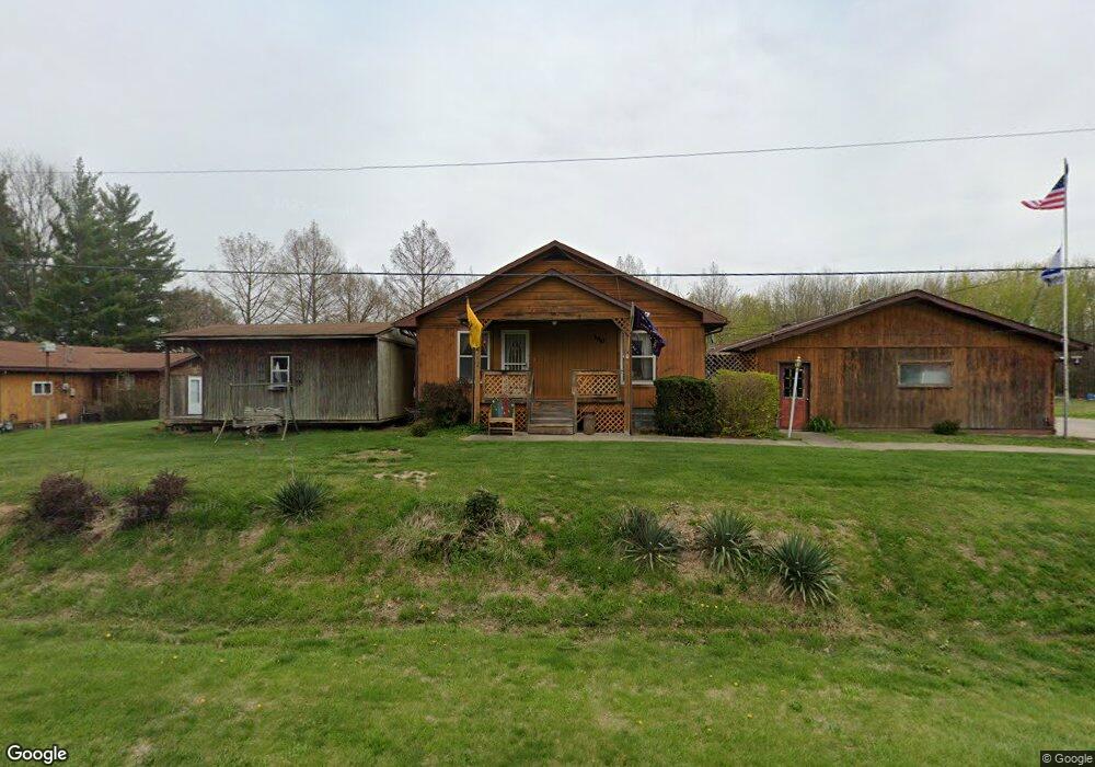
152 Route 4 Staunton, IL 62088
Estimated Value: $99,000 - $186,000
3
Beds
2
Baths
1,389
Sq Ft
$97/Sq Ft
Est. Value
About This Home
This home is located at 152 Route 4, Staunton, IL 62088 and is currently estimated at $134,612, approximately $96 per square foot. 152 Route 4 is a home located in Macoupin County with nearby schools including Staunton Elementary School, Staunton Junior High School, and Staunton High School.
Ownership History
Date
Name
Owned For
Owner Type
Purchase Details
Closed on
Jul 22, 2016
Sold by
Sechrest Kara
Bought by
Walsh Tanya J
Current Estimated Value
Home Financials for this Owner
Home Financials are based on the most recent Mortgage that was taken out on this home.
Original Mortgage
$89,351
Outstanding Balance
$71,421
Interest Rate
3.62%
Mortgage Type
FHA
Estimated Equity
$63,191
Purchase Details
Closed on
Sep 27, 2013
Sold by
Wasylenko Nancy
Bought by
Sechrest Kara
Home Financials for this Owner
Home Financials are based on the most recent Mortgage that was taken out on this home.
Original Mortgage
$63,500
Interest Rate
4.75%
Mortgage Type
Purchase Money Mortgage
Purchase Details
Closed on
Sep 1, 2013
Bought by
Sechrest Kara
Home Financials for this Owner
Home Financials are based on the most recent Mortgage that was taken out on this home.
Original Mortgage
$63,500
Interest Rate
4.75%
Mortgage Type
Purchase Money Mortgage
Create a Home Valuation Report for This Property
The Home Valuation Report is an in-depth analysis detailing your home's value as well as a comparison with similar homes in the area
Home Values in the Area
Average Home Value in this Area
Purchase History
| Date | Buyer | Sale Price | Title Company |
|---|---|---|---|
| Walsh Tanya J | -- | Community Title & Escrow | |
| Sechrest Kara | -- | -- | |
| Sechrest Kara | $63,500 | -- |
Source: Public Records
Mortgage History
| Date | Status | Borrower | Loan Amount |
|---|---|---|---|
| Open | Walsh Tanya J | $89,351 | |
| Previous Owner | Sechrest Kara | $63,500 |
Source: Public Records
Tax History Compared to Growth
Tax History
| Year | Tax Paid | Tax Assessment Tax Assessment Total Assessment is a certain percentage of the fair market value that is determined by local assessors to be the total taxable value of land and additions on the property. | Land | Improvement |
|---|---|---|---|---|
| 2024 | $578 | $16,269 | $2,913 | $13,356 |
| 2023 | $540 | $15,064 | $2,697 | $12,367 |
| 2022 | $540 | $14,079 | $2,521 | $11,558 |
| 2021 | $473 | $19,158 | $2,356 | $16,802 |
| 2020 | $434 | $18,414 | $2,223 | $16,191 |
| 2019 | $449 | $12,414 | $2,223 | $10,191 |
| 2018 | $421 | $12,052 | $0 | $0 |
| 2017 | $429 | $8,998 | $2,049 | $6,949 |
| 2016 | $215 | $8,998 | $2,049 | $6,949 |
| 2015 | $218 | $8,998 | $2,049 | $6,949 |
| 2014 | $230 | $8,998 | $2,049 | $6,949 |
| 2013 | $253 | $9,764 | $2,223 | $7,541 |
Source: Public Records
Map
Nearby Homes
- 311 S Hibbard St
- 311 S Edwardsville St
- 515 N Edwardsville St
- 125 N Wood St
- 1032 W Pearl St
- 230 W Lafayette St
- 708 N Hibbard St
- 517 N Laurel St
- 225 E MacOupin St
- 619 S Wood St
- 706 S Hibbard St
- 402 E MacOupin St
- 904 W Miller Dr
- 626 W 6th St
- 841 N Franklin St
- 701 S Maple St
- 816 S Wood St
- 1107 W 6th St
- 840 N Union St
- 0 Stonecreek Subdivision