Estimated Value: $268,907 - $274,000
3
Beds
2
Baths
1,092
Sq Ft
$249/Sq Ft
Est. Value
About This Home
This home is located at 152 Stuart Ct, Luray, VA 22835 and is currently estimated at $271,454, approximately $248 per square foot. 152 Stuart Ct is a home located in Page County.
Ownership History
Date
Name
Owned For
Owner Type
Purchase Details
Closed on
Dec 27, 2019
Sold by
Usa Va
Bought by
Godish David A
Current Estimated Value
Home Financials for this Owner
Home Financials are based on the most recent Mortgage that was taken out on this home.
Original Mortgage
$88,000
Outstanding Balance
$77,901
Interest Rate
3.7%
Mortgage Type
Construction
Estimated Equity
$193,553
Purchase Details
Closed on
Mar 10, 2017
Sold by
Mathews Steven L
Bought by
Browning Fred
Home Financials for this Owner
Home Financials are based on the most recent Mortgage that was taken out on this home.
Original Mortgage
$148,000
Interest Rate
4.19%
Mortgage Type
VA
Purchase Details
Closed on
Jul 10, 2009
Create a Home Valuation Report for This Property
The Home Valuation Report is an in-depth analysis detailing your home's value as well as a comparison with similar homes in the area
Home Values in the Area
Average Home Value in this Area
Purchase History
| Date | Buyer | Sale Price | Title Company |
|---|---|---|---|
| Godish David A | $136,000 | -- | |
| Browning Fred | $148,000 | First American Title Insurance | |
| -- | $127,000 | -- |
Source: Public Records
Mortgage History
| Date | Status | Borrower | Loan Amount |
|---|---|---|---|
| Open | Godish David A | $88,000 | |
| Previous Owner | Browning Fred | $148,000 |
Source: Public Records
Tax History
| Year | Tax Paid | Tax Assessment Tax Assessment Total Assessment is a certain percentage of the fair market value that is determined by local assessors to be the total taxable value of land and additions on the property. | Land | Improvement |
|---|---|---|---|---|
| 2025 | $1,268 | $173,700 | $30,000 | $143,700 |
| 2024 | $1,268 | $173,700 | $30,000 | $143,700 |
| 2023 | $1,268 | $173,700 | $30,000 | $143,700 |
| 2022 | $1,268 | $173,700 | $30,000 | $143,700 |
| 2021 | $1,268 | $173,700 | $30,000 | $143,700 |
| 2020 | $1,130 | $154,800 | $30,000 | $124,800 |
| 2019 | $1,130 | $154,800 | $30,000 | $124,800 |
| 2018 | $1,084 | $154,800 | $30,000 | $124,800 |
| 2017 | $1,022 | $154,800 | $30,000 | $124,800 |
| 2016 | $1,022 | $154,800 | $30,000 | $124,800 |
| 2015 | $952 | $148,800 | $30,000 | $118,800 |
| 2014 | $952 | $148,800 | $30,000 | $118,800 |
Source: Public Records
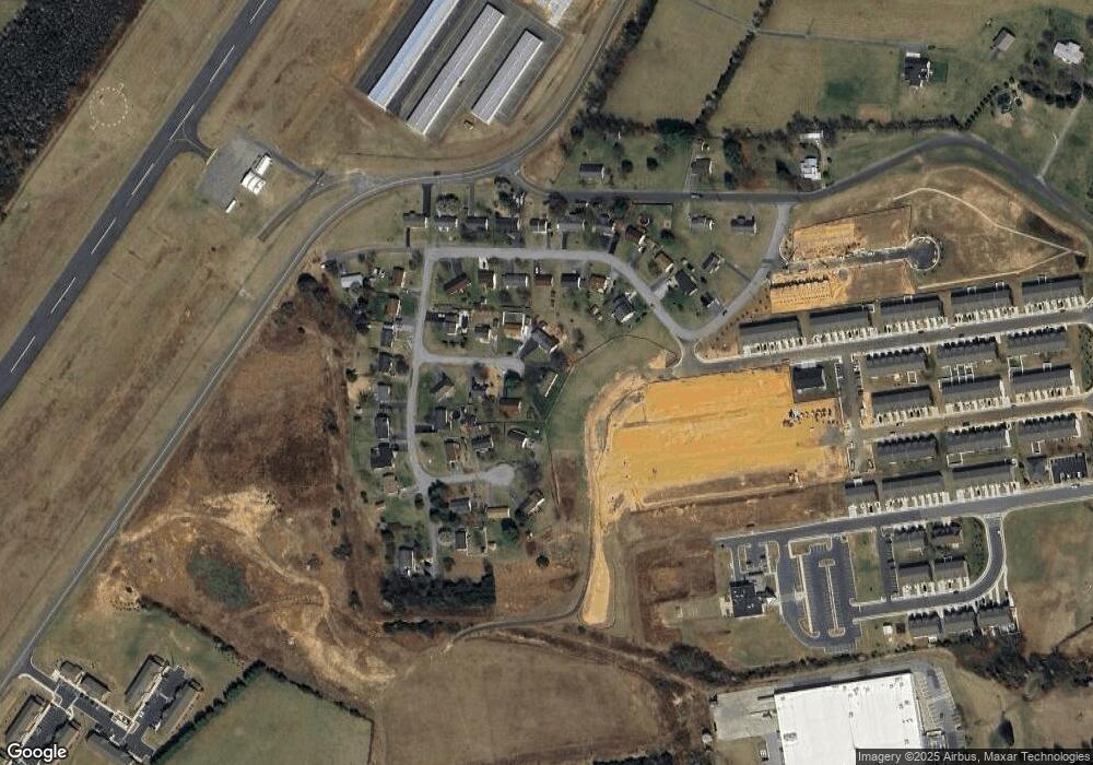
Map
Nearby Homes
- 342 Caterpillar Dr
- 361 Caterpillar Dr
- 287 Baker Dr
- 226 Baker Dr
- 0 Baker Dr
- 225 Baker Dr
- 148 Baker Dr
- 0 General Dr & Alison Dr Unit VAPA2002608
- 0 General Dr
- 15 Patriot Way
- 1819 Us Highway 211 W
- 613 Airport Rd
- 2370 US Hwy 211 W
- 2370 US Highway 211 W
- 400 Beall Ave
- 485 Beall Ave
- 173 Baker Dr
- 120 Big Oak Dr
- 856 Leaksville Rd
- Lot 19 Riverbend Dr
Your Personal Tour Guide
Ask me questions while you tour the home.