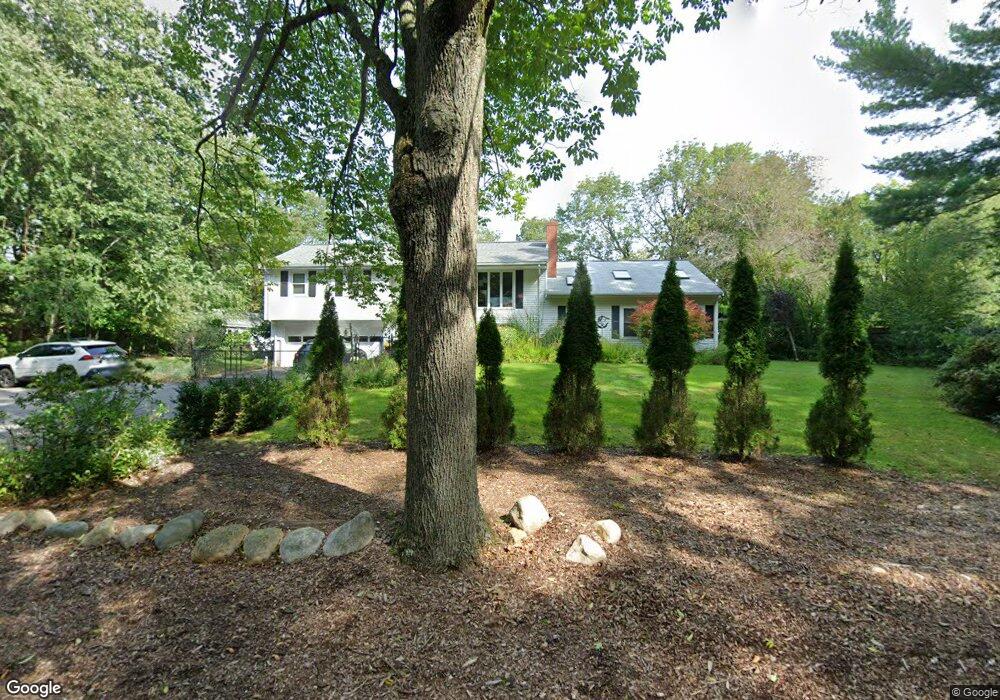
152 Whitman St Hanson, MA 02341
Estimated Value: $639,219 - $841,000
3
Beds
3
Baths
1,746
Sq Ft
$409/Sq Ft
Est. Value
About This Home
This home is located at 152 Whitman St, Hanson, MA 02341 and is currently estimated at $714,055, approximately $408 per square foot. 152 Whitman St is a home located in Plymouth County with nearby schools including The Master's Academy.
Ownership History
Date
Name
Owned For
Owner Type
Purchase Details
Closed on
Jul 13, 2017
Sold by
Womersley Kathleen
Bought by
Kathleen Womersley Ret
Current Estimated Value
Create a Home Valuation Report for This Property
The Home Valuation Report is an in-depth analysis detailing your home's value as well as a comparison with similar homes in the area
Home Values in the Area
Average Home Value in this Area
Purchase History
| Date | Buyer | Sale Price | Title Company |
|---|---|---|---|
| Kathleen Womersley Ret | -- | -- |
Source: Public Records
Tax History Compared to Growth
Tax History
| Year | Tax Paid | Tax Assessment Tax Assessment Total Assessment is a certain percentage of the fair market value that is determined by local assessors to be the total taxable value of land and additions on the property. | Land | Improvement |
|---|---|---|---|---|
| 2025 | $7,095 | $530,300 | $176,700 | $353,600 |
| 2024 | $6,574 | $491,300 | $171,600 | $319,700 |
| 2023 | $6,446 | $454,600 | $171,600 | $283,000 |
| 2022 | $6,241 | $413,600 | $156,000 | $257,600 |
| 2021 | $0 | $381,300 | $150,000 | $231,300 |
| 2020 | $5,583 | $371,900 | $144,900 | $227,000 |
| 2019 | $5,422 | $349,100 | $142,100 | $207,000 |
| 2018 | $5,362 | $338,700 | $136,700 | $202,000 |
| 2017 | $5,205 | $325,700 | $130,200 | $195,500 |
| 2016 | $5,250 | $317,200 | $130,200 | $187,000 |
| 2015 | $4,980 | $312,800 | $130,200 | $182,600 |
Source: Public Records
Map
Nearby Homes
- 418 E Washington St
- 248 E Washington St
- 37 Brook St
- 842 E Washington St
- 57 Liberty St
- Lot 5 Princeton Way
- 168 Spring St
- 33 Tavern Way
- 456 Gorwin Dr
- 1251 Broadway
- Lot 22 Adams Cir
- 13 Hayford Trail Unit 15
- 12 Hayford Trail Unit 17
- 5 Hayford Trail Unit 11
- 7 Hayford Trail Unit 12
- 22 Howland Trail Unit 34
- 41 Gail Rd
- 15 Elm Place
- 842 Whitman St
- 553 Center St
- 136 Whitman St
- 174 Whitman St
- 161 Whitman St
- 145 Whitman St
- 488 E Washington St
- 488 E Washington St
- 112 Whitman St
- 175 Whitman St
- 103 Whitman St
- Lot One Whitman
- 484 E Washington St
- 480 E Washington St
- 98 Whitman St
- 131 Whitman St
- 558 E Washington St
- 454 E Washington St
- 497 E Washington St
- 564 E Washington St
- 86 Whitman St
- 436 E Washington St