Estimated Value: $489,837 - $527,000
3
Beds
2
Baths
2,236
Sq Ft
$229/Sq Ft
Est. Value
About This Home
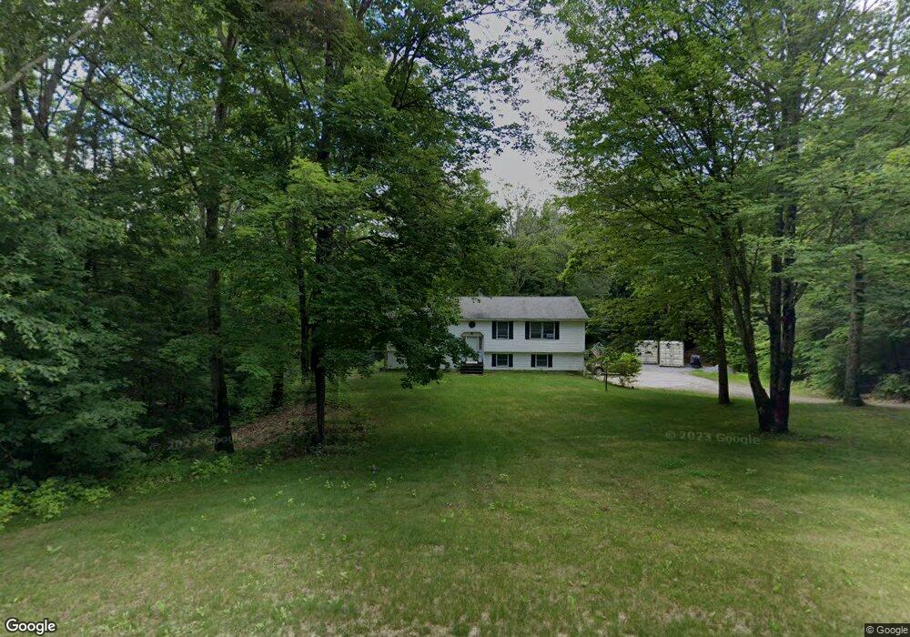
This home is located at 152 Windsong Heights, Weare, NH 03281 and is currently estimated at $512,709, approximately $229 per square foot. 152 Windsong Heights is a home with nearby schools including Center Woods Elementary School, Weare Middle School, and John Stark Regional High School.
Ownership History
Date
Name
Owned For
Owner Type
Purchase Details
Closed on
Dec 3, 2001
Sold by
Penney Grace E
Bought by
Evans Michael R and Evans Mary E
Current Estimated Value
Home Financials for this Owner
Home Financials are based on the most recent Mortgage that was taken out on this home.
Original Mortgage
$151,900
Interest Rate
6.66%
Create a Home Valuation Report for This Property
The Home Valuation Report is an in-depth analysis detailing your home's value as well as a comparison with similar homes in the area
Home Values in the Area
Average Home Value in this Area
Purchase History
| Date | Buyer | Sale Price | Title Company |
|---|---|---|---|
| Evans Michael R | $159,900 | -- |
Source: Public Records
Mortgage History
| Date | Status | Borrower | Loan Amount |
|---|---|---|---|
| Open | Evans Michael R | $164,100 | |
| Closed | Evans Michael R | $50,000 | |
| Closed | Evans Michael R | $151,900 |
Source: Public Records
Tax History Compared to Growth
Tax History
| Year | Tax Paid | Tax Assessment Tax Assessment Total Assessment is a certain percentage of the fair market value that is determined by local assessors to be the total taxable value of land and additions on the property. | Land | Improvement |
|---|---|---|---|---|
| 2024 | $6,511 | $319,300 | $118,500 | $200,800 |
| 2023 | $6,016 | $319,300 | $118,500 | $200,800 |
| 2022 | $5,556 | $319,300 | $118,500 | $200,800 |
| 2021 | $5,492 | $319,300 | $118,500 | $200,800 |
| 2020 | $5,394 | $225,200 | $84,600 | $140,600 |
| 2019 | $5,339 | $225,200 | $84,600 | $140,600 |
| 2018 | $5,262 | $228,500 | $84,600 | $143,900 |
| 2016 | $5,112 | $228,500 | $84,600 | $143,900 |
| 2015 | $4,796 | $214,000 | $83,600 | $130,400 |
| 2014 | $4,753 | $214,000 | $83,600 | $130,400 |
| 2013 | $4,655 | $214,000 | $83,600 | $130,400 |
Source: Public Records
Map
Nearby Homes
- 0 Als Dr Unit 196
- 40 N Woods Rd
- 57 Lyndsey Ln
- 464 Irish Hill Rd
- 256 Irish Hill Rd
- 541 South Rd
- 256-0-17 Jewett Rd
- 102 Fieldstone Rd
- 89 Old Henniker Rd
- 656 Dolly Rd
- 0 Farrington Corner Rd Unit 14
- 0 Bound Tree Rd Unit 50 5060705
- I3-03-05 Clinton St
- 0 Huntington Hill Rd Unit 69
- 92 Woodbury Rd
- 167 Branch Londonderry Turnpike
- 233 N Stark Hwy
- 250 Grapevine Rd
- 849 River Rd
- 0 George Rd Unit 30
- 144 Windsong Heights
- 141 Windsong Heights
- 134 Windsong Heights
- 129 Windsong Heights
- 118 Beech Hill Rd
- 114 Beech Hill Rd
- 110 Beech Hill Rd
- 117 Beech Hill Rd
- 129 Beech Hill Rd
- 98 Beech Hill Rd
- 111 Beech Hill Rd
- 89 Windsong Heights
- 103 Beech Hill Rd
- 94 Beech Hill Rd
- 95 Beech Hill Rd
- 15 Pheasant Run
- 80 Windsong Heights
- 87 Beech Hill Rd
- 78 Beech Hill Rd
- 77 Windsong Heights