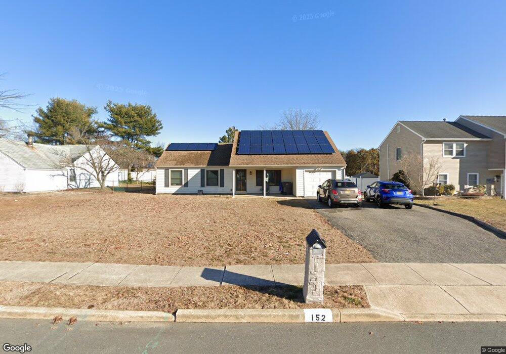
152 Yellowbank Rd Toms River, NJ 08753
Estimated Value: $371,883 - $517,000
3
Beds
1
Bath
1,326
Sq Ft
$357/Sq Ft
Est. Value
About This Home
This home is located at 152 Yellowbank Rd, Toms River, NJ 08753 and is currently estimated at $473,721, approximately $357 per square foot. 152 Yellowbank Rd is a home located in Ocean County.
Ownership History
Date
Name
Owned For
Owner Type
Purchase Details
Closed on
Jan 11, 2024
Sold by
Miller Lorna Keen
Bought by
Miller Lorna Keen
Current Estimated Value
Purchase Details
Closed on
Jul 17, 2012
Sold by
Keen Robert W
Bought by
Keen Robert W
Home Financials for this Owner
Home Financials are based on the most recent Mortgage that was taken out on this home.
Original Mortgage
$100,000
Interest Rate
2.87%
Mortgage Type
New Conventional
Create a Home Valuation Report for This Property
The Home Valuation Report is an in-depth analysis detailing your home's value as well as a comparison with similar homes in the area
Home Values in the Area
Average Home Value in this Area
Purchase History
| Date | Buyer | Sale Price | Title Company |
|---|---|---|---|
| Miller Lorna Keen | -- | None Listed On Document | |
| Miller Lorna Keen | -- | None Listed On Document | |
| Keen Robert W | -- | None Available |
Source: Public Records
Mortgage History
| Date | Status | Borrower | Loan Amount |
|---|---|---|---|
| Previous Owner | Keen Robert W | $100,000 |
Source: Public Records
Tax History Compared to Growth
Tax History
| Year | Tax Paid | Tax Assessment Tax Assessment Total Assessment is a certain percentage of the fair market value that is determined by local assessors to be the total taxable value of land and additions on the property. | Land | Improvement |
|---|---|---|---|---|
| 2025 | $4,341 | $238,400 | $108,000 | $130,400 |
| 2024 | $3,877 | $238,400 | $108,000 | $130,400 |
| 2023 | $3,729 | $238,400 | $108,000 | $130,400 |
| 2022 | $3,979 | $238,400 | $108,000 | $130,400 |
| 2021 | $4,394 | $185,400 | $95,800 | $89,600 |
| 2020 | $4,624 | $185,400 | $95,800 | $89,600 |
| 2019 | $4,424 | $185,400 | $95,800 | $89,600 |
| 2018 | $4,364 | $185,400 | $95,800 | $89,600 |
| 2017 | $4,327 | $185,400 | $95,800 | $89,600 |
| 2016 | $3,964 | $185,400 | $95,800 | $89,600 |
| 2015 | $3,805 | $185,400 | $95,800 | $89,600 |
| 2014 | $3,610 | $185,400 | $95,800 | $89,600 |
Source: Public Records
Map
Nearby Homes
- 141 Yellowbank Rd
- 1035 Tralee Dr
- 5 Dublin Ct
- 1088 Kells Ct
- 1939 Ship Ct
- 1149 Laurel Dr
- 1943 Pinta Ct
- 921 Tudor Dr
- 956 Meredith Dr
- 1099 Fairview Dr
- 1171 Laurel Dr
- 948 Hazelwood Rd
- 1083 Crystal Dr
- 1181 Fischer Blvd
- 1090 Westlake Dr
- 1145 Kenton Dr
- 1097 Westlake Dr
- 914 Neville St
- 912 New Jersey Ave
- 872 Devonshire Rd
- 156 Yellowbank Rd
- 148 Yellowbank Rd
- 1091 Bandon Rd
- 160 Yellowbank Rd
- 144 Yellowbank Rd
- 157 Yellowbank Rd
- 153 Yellowbank Rd
- 149 Yellowbank Rd
- 1099 Bandon Rd
- 164 Yellowbank Rd
- 140 Yellowbank Rd
- 6 Dublin Ct
- 145 Yellowbank Rd
- 1060 Tralee Dr
- 1056 Tralee Dr
- 168 Yellowbank Rd
- 1088 Bandon Rd
- 1092 Bandon Rd
- 1103 Bandon Rd
- 1052 Tralee Dr