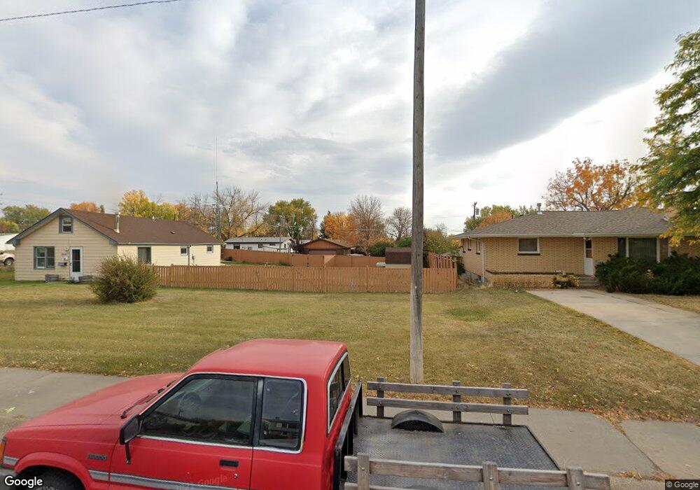
1520 17th Avenue South W Great Falls, MT 59404
Estimated Value: $296,000 - $380,710
3
Beds
2
Baths
2,044
Sq Ft
$163/Sq Ft
Est. Value
About This Home
This home is located at 1520 17th Avenue South W, Great Falls, MT 59404 and is currently estimated at $332,928, approximately $162 per square foot. 1520 17th Avenue South W is a home located in Cascade County with nearby schools including West Elementary School, North Middle School, and C.M. Russell High School.
Ownership History
Date
Name
Owned For
Owner Type
Purchase Details
Closed on
May 19, 2023
Sold by
Henderson Shirley E
Bought by
Hill Adam and Hill Becky
Current Estimated Value
Purchase Details
Closed on
Jul 1, 2009
Sold by
Martin Michael L and Martin Deanna S
Bought by
Waring Robyn and Waring Cheri
Purchase Details
Closed on
Mar 27, 2009
Sold by
Martin Michael L and Martin Deanna S
Bought by
Waring Robyn and Waring Cheri
Home Financials for this Owner
Home Financials are based on the most recent Mortgage that was taken out on this home.
Original Mortgage
$152,192
Interest Rate
5.15%
Mortgage Type
FHA
Purchase Details
Closed on
Jul 29, 2005
Sold by
Conseco Finance Servicing Corp
Bought by
Martin Michael L and Martin Deanna S
Home Financials for this Owner
Home Financials are based on the most recent Mortgage that was taken out on this home.
Original Mortgage
$73,600
Interest Rate
5.56%
Mortgage Type
New Conventional
Create a Home Valuation Report for This Property
The Home Valuation Report is an in-depth analysis detailing your home's value as well as a comparison with similar homes in the area
Home Values in the Area
Average Home Value in this Area
Purchase History
| Date | Buyer | Sale Price | Title Company |
|---|---|---|---|
| Hill Adam | -- | Flying S Title | |
| Waring Robyn | -- | Chicago Title Insurance Co | |
| Waring Robyn | -- | Chicago Title Insurance Co | |
| Martin Michael L | -- | First American Title Company |
Source: Public Records
Mortgage History
| Date | Status | Borrower | Loan Amount |
|---|---|---|---|
| Previous Owner | Waring Robyn | $152,192 | |
| Previous Owner | Martin Michael L | $73,600 |
Source: Public Records
Tax History Compared to Growth
Tax History
| Year | Tax Paid | Tax Assessment Tax Assessment Total Assessment is a certain percentage of the fair market value that is determined by local assessors to be the total taxable value of land and additions on the property. | Land | Improvement |
|---|---|---|---|---|
| 2025 | $1,145 | $184,411 | $0 | $0 |
| 2024 | $1,612 | $174,375 | $0 | $0 |
| 2023 | $1,543 | $174,375 | $0 | $0 |
| 2022 | $1,380 | $135,169 | $0 | $0 |
| 2021 | $1,133 | $135,169 | $0 | $0 |
| 2020 | $1,238 | $115,311 | $0 | $0 |
| 2019 | $1,181 | $115,311 | $0 | $0 |
| 2018 | $1,208 | $115,556 | $0 | $0 |
| 2017 | $1,168 | $115,556 | $0 | $0 |
| 2016 | $1,116 | $117,388 | $0 | $0 |
| 2015 | $877 | $117,388 | $0 | $0 |
| 2014 | $1,541 | $86,357 | $0 | $0 |
Source: Public Records
Map
Nearby Homes
- 1619 18th Ave SW
- 1405 2nd West Hill Dr
- 50 Treasure State Dr
- 89 Treasure State Dr
- 93 Treasure State Dr
- 1312 3rd West Hill Dr
- 2017 13th St SW
- 113 Treasure State Dr
- 2215 13th St SW
- 2217 13th St SW
- 2708 Dawn Dr
- 2729 Fern Dr
- 1927 Elm Ct
- 2801 Encino Dr
- 1540 Meadowlark Dr Unit A42
- 1013 10th Ave SW
- 1005 Park Garden Rd
- 1536 Meadowlark Dr Unit 9B
- 1536 Meadowlark Dr Unit 10B
- 900 25th Ave SW
- 1520 17th Ave SW
- 1530 17th Ave SW
- 1513 17th Ave SW
- 1513 18th Ave SW
- 1521 18th Avenue South W
- 1517 17th Ave SW
- 1505 17th Ave SW
- 1521 18th Ave SW
- 1527 17th Ave SW
- 1525 18th Ave SW
- 1430 17th Avenue South W
- 1430 17th Ave SW
- 1502 16th Ave SW
- 1520 16th Ave SW
- 1512 16th Ave SW
- 1725 15th St SW
- 1700 16th St SW
- 1601 18th Avenue South W
- 1601 18th Ave SW
- 1430 16th Ave SW