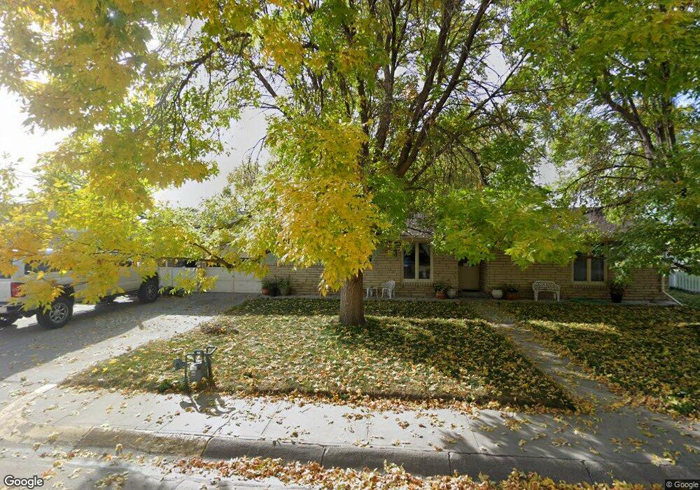
1520 20th St Mitchell, NE 69357
Estimated Value: $157,000 - $205,000
3
Beds
1
Bath
1,388
Sq Ft
$129/Sq Ft
Est. Value
About This Home
This home is located at 1520 20th St, Mitchell, NE 69357 and is currently estimated at $178,746, approximately $128 per square foot. 1520 20th St is a home located in Scotts Bluff County with nearby schools including Mitchell Elementary School and Mitchell Secondary School.
Ownership History
Date
Name
Owned For
Owner Type
Purchase Details
Closed on
Oct 14, 2009
Sold by
First National Bank North Platte
Bought by
Burns Roger R
Current Estimated Value
Purchase Details
Closed on
Oct 16, 2008
Sold by
Skh Holdings Inc
Bought by
First National Bank North Platie
Purchase Details
Closed on
Sep 1, 2005
Sold by
Merritt Jayson D
Bought by
Skh Holdings Inc
Create a Home Valuation Report for This Property
The Home Valuation Report is an in-depth analysis detailing your home's value as well as a comparison with similar homes in the area
Purchase History
| Date | Buyer | Sale Price | Title Company |
|---|---|---|---|
| Burns Roger R | $71,000 | -- | |
| First National Bank North Platie | -- | -- | |
| Skh Holdings Inc | $76,000 | -- |
Source: Public Records
Tax History
| Year | Tax Paid | Tax Assessment Tax Assessment Total Assessment is a certain percentage of the fair market value that is determined by local assessors to be the total taxable value of land and additions on the property. | Land | Improvement |
|---|---|---|---|---|
| 2025 | $1,631 | $127,225 | $16,730 | $110,495 |
| 2024 | $1,699 | $127,225 | $16,730 | $110,495 |
| 2023 | $1,933 | $99,765 | $5,887 | $93,878 |
| 2022 | $1,933 | $99,765 | $5,887 | $93,878 |
| 2021 | $1,794 | $88,965 | $5,887 | $83,078 |
| 2020 | $1,725 | $84,262 | $5,887 | $78,375 |
| 2019 | $1,720 | $84,262 | $5,887 | $78,375 |
| 2018 | $1,683 | $81,248 | $5,887 | $75,361 |
| 2017 | $1,595 | $76,318 | $5,887 | $70,431 |
| 2016 | $1,595 | $76,318 | $5,887 | $70,431 |
| 2015 | $1,549 | $76,318 | $5,887 | $70,431 |
| 2014 | $1,566 | $76,318 | $5,887 | $70,431 |
| 2012 | -- | $72,964 | $5,887 | $67,077 |
Source: Public Records
Map
Nearby Homes
- 1803 21st St
- 1538 17th St
- 1421 Broadway St
- 1803 Broadway St
- 1712 22nd Ave
- 50160 Hilyard Dr
- 50090 Partridge Dr
- CR K Cr 31
- TBD Highway 29
- 120793 Cr E
- 150265 Cr F
- 120568 Cr H
- 0 County Road A
- Legacy Feeders Unit LLC
- 100199 Cr 15
- 100199 County Road 15
- 90681 Kelley Rd
- 319 N Howard Ave
- 418 E Hamilton St
- 100568 Cr 14
Your Personal Tour Guide
Ask me questions while you tour the home.