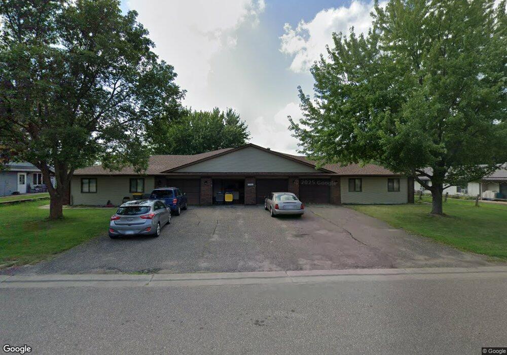
1520 5th Ave Baldwin, WI 54002
Estimated Value: $432,000
Studio
--
Bath
4,032
Sq Ft
$107/Sq Ft
Est. Value
About This Home
This home is located at 1520 5th Ave, Baldwin, WI 54002 and is currently priced at $432,000, approximately $107 per square foot. 1520 5th Ave is a home located in St. Croix County with nearby schools including Greenfield Elementary School, Viking Middle School, and Baldwin-Woodville High School.
Ownership History
Date
Name
Owned For
Owner Type
Purchase Details
Closed on
Jul 7, 2020
Sold by
Citywide Development Inc
Bought by
Stansbury Matthew and Stansbury Sara
Current Estimated Value
Home Financials for this Owner
Home Financials are based on the most recent Mortgage that was taken out on this home.
Original Mortgage
$387,845
Interest Rate
2.9%
Mortgage Type
FHA
Purchase Details
Closed on
Dec 11, 2018
Sold by
Anderson Paul L
Bought by
Citywide Development Inc
Purchase Details
Closed on
Nov 1, 2005
Sold by
Knecht Murray A and Knecht Larae M
Bought by
Anderson Paul L
Create a Home Valuation Report for This Property
The Home Valuation Report is an in-depth analysis detailing your home's value as well as a comparison with similar homes in the area
Home Values in the Area
Average Home Value in this Area
Purchase History
| Date | Buyer | Sale Price | Title Company |
|---|---|---|---|
| Stansbury Matthew | $395,000 | Land Title | |
| Citywide Development Inc | $1,350,000 | Land Title | |
| Anderson Paul L | $540,000 | None Available |
Source: Public Records
Mortgage History
| Date | Status | Borrower | Loan Amount |
|---|---|---|---|
| Previous Owner | Stansbury Matthew | $387,845 |
Source: Public Records
Tax History
| Year | Tax Paid | Tax Assessment Tax Assessment Total Assessment is a certain percentage of the fair market value that is determined by local assessors to be the total taxable value of land and additions on the property. | Land | Improvement |
|---|---|---|---|---|
| 2025 | $6,605 | $324,900 | $46,100 | $278,800 |
| 2024 | $63 | $324,900 | $46,100 | $278,800 |
| 2023 | $5,334 | $324,900 | $46,100 | $278,800 |
| 2022 | $5,258 | $324,900 | $46,100 | $278,800 |
| 2021 | $6,141 | $324,900 | $46,100 | $278,800 |
| 2020 | $6,074 | $256,200 | $34,600 | $221,600 |
| 2019 | $5,615 | $256,200 | $34,600 | $221,600 |
| 2018 | $5,107 | $256,200 | $34,600 | $221,600 |
| 2017 | $5,399 | $256,200 | $34,600 | $221,600 |
| 2016 | $5,399 | $256,200 | $34,600 | $221,600 |
| 2015 | $6,908 | $279,200 | $33,200 | $246,000 |
| 2014 | $6,247 | $279,200 | $33,200 | $246,000 |
| 2013 | $6,366 | $279,200 | $33,200 | $246,000 |
Source: Public Records
Map
Nearby Homes
- 1621 Mallard Ave
- 1632 Mallard Ave
- 1629 Mallard Ave
- 1617 Mallard Ave
- 1586 Mallard Ave
- 316 Birch St
- 288 Birch St
- 183 Pintail St
- 320 Bluebill St
- 1724 Redhead Ave
- 330 Meadowview Ct
- 180 Pintail St
- 195 Pintail St
- 191 Pintail St
- 187 Pintail St
- 198 Pintail St
- 199 Wood Duck Ln
- 300 Cedar St Unit 15
- 1933 4th Ave
- 1090 7th Ave
Your Personal Tour Guide
Ask me questions while you tour the home.