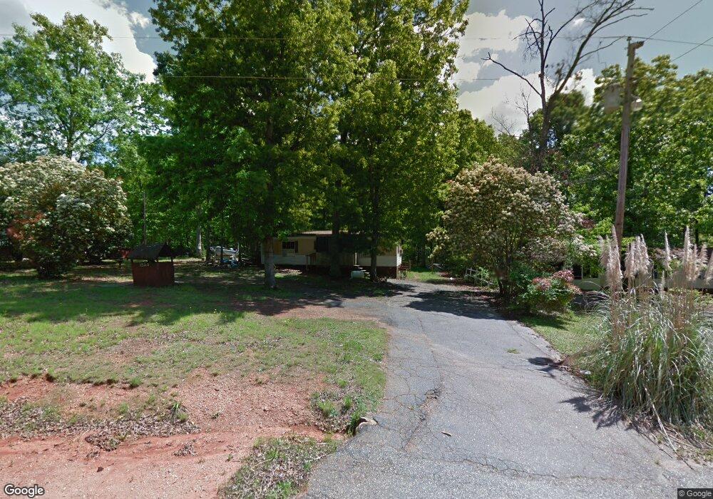
1520 Atlantic Ln Lincolnton, NC 28092
Estimated Value: $144,000 - $151,000
3
Beds
1
Bath
920
Sq Ft
$160/Sq Ft
Est. Value
About This Home
This home is located at 1520 Atlantic Ln, Lincolnton, NC 28092 and is currently estimated at $147,500, approximately $160 per square foot. 1520 Atlantic Ln is a home located in Lincoln County with nearby schools including G.E. Massey Elementary School, Lincolnton Middle School, and Lincolnton High School.
Ownership History
Date
Name
Owned For
Owner Type
Purchase Details
Closed on
Sep 27, 2012
Sold by
Green Tree Servicing Llc
Bought by
Love William and Love Heather
Current Estimated Value
Home Financials for this Owner
Home Financials are based on the most recent Mortgage that was taken out on this home.
Original Mortgage
$85,741
Interest Rate
3.4%
Mortgage Type
Purchase Money Mortgage
Purchase Details
Closed on
May 12, 2005
Sold by
Crump Teresa and Crump Eric
Bought by
Dellinger Heather Marie
Create a Home Valuation Report for This Property
The Home Valuation Report is an in-depth analysis detailing your home's value as well as a comparison with similar homes in the area
Home Values in the Area
Average Home Value in this Area
Purchase History
| Date | Buyer | Sale Price | Title Company |
|---|---|---|---|
| Love William | $49,000 | None Available | |
| Dellinger Heather Marie | -- | None Available |
Source: Public Records
Mortgage History
| Date | Status | Borrower | Loan Amount |
|---|---|---|---|
| Previous Owner | Love William | $85,741 |
Source: Public Records
Tax History Compared to Growth
Tax History
| Year | Tax Paid | Tax Assessment Tax Assessment Total Assessment is a certain percentage of the fair market value that is determined by local assessors to be the total taxable value of land and additions on the property. | Land | Improvement |
|---|---|---|---|---|
| 2025 | $277 | $21,996 | $17,900 | $4,096 |
| 2024 | $257 | $21,996 | $17,900 | $4,096 |
| 2023 | $257 | $21,996 | $17,900 | $4,096 |
| 2022 | $243 | $17,212 | $15,100 | $2,112 |
| 2021 | $243 | $17,212 | $15,100 | $2,112 |
| 2020 | $125 | $17,212 | $15,100 | $2,112 |
| 2019 | $121 | $17,212 | $15,100 | $2,112 |
| 2018 | $220 | $16,684 | $12,100 | $4,584 |
| 2017 | $119 | $16,684 | $12,100 | $4,584 |
| 2016 | $119 | $16,684 | $12,100 | $4,584 |
| 2015 | $202 | $16,684 | $12,100 | $4,584 |
| 2014 | $245 | $23,491 | $15,850 | $7,641 |
Source: Public Records
Map
Nearby Homes
- 1212 Salem Church Rd
- 1065 Salem Church Rd
- 1585 Salem Church Rd
- 00 Smith Farm Rd
- 2415 Heavner Rd
- 755 Victory Grove Church Rd
- 2319 Tin Mine Rd
- 1035 Timberlane Dr
- 1055 Fairway Ln
- 2503 Tin Mine Rd
- 864 Calloway Rd
- 170 Whitesides Dr
- 575 Hill Rd
- 726 Lithia Inn Rd Unit 5
- 140 Shields Dr
- 718 Lithia Inn Rd Unit 7
- 1811 Country Club Rd Unit 4
- 1809 Country Club Rd Unit 3
- 2651 Keever Dairy Farm Rd
- 155 Golden Aster Dr
- 1510 Atlantic Ln
- 1498 Atlantic Ln
- 1552 Atlantic Ln
- 1543 Atlantic Ln
- 1553 Atlantic Ln
- 1507 Atlantic Ln
- Lot 2 Atlantic Ln
- 1814 Catalina Ln
- 1489 Baldwin Ln
- 000 Catalina Ln
- 1468 Atlantic Ln
- 1840 Baldwin Ln
- 1828 Baldwin Ln
- 1812 Baldwin Ln
- 0000 Catalina Ln Unit 5-8
- 1773 Baldwin Ln
- 1944 Catalina Ln
- 1793 S Industrial Park Rd
- 1782 Baldwin Ln
- 1767 Catalina Ln