1520 Fairville Rd Chadds Ford, PA 19317
Estimated Value: $1,493,000 - $1,770,000
4
Beds
3
Baths
5,608
Sq Ft
$284/Sq Ft
Est. Value
About This Home
This home is located at 1520 Fairville Rd, Chadds Ford, PA 19317 and is currently estimated at $1,594,284, approximately $284 per square foot. 1520 Fairville Rd is a home located in Chester County with nearby schools including Hillendale Elementary School, Charles F. Patton Middle School, and Unionville High School.
Ownership History
Date
Name
Owned For
Owner Type
Purchase Details
Closed on
Feb 28, 2022
Sold by
Brant James A and Brant Briana L
Bought by
Louick Rebecca and Loulck Jonathan
Current Estimated Value
Home Financials for this Owner
Home Financials are based on the most recent Mortgage that was taken out on this home.
Original Mortgage
$940,000
Interest Rate
3.89%
Mortgage Type
New Conventional
Create a Home Valuation Report for This Property
The Home Valuation Report is an in-depth analysis detailing your home's value as well as a comparison with similar homes in the area
Home Values in the Area
Average Home Value in this Area
Purchase History
| Date | Buyer | Sale Price | Title Company |
|---|---|---|---|
| Louick Rebecca | $1,300,000 | American Land Settlement Servi |
Source: Public Records
Mortgage History
| Date | Status | Borrower | Loan Amount |
|---|---|---|---|
| Previous Owner | Louick Rebecca | $940,000 |
Source: Public Records
Tax History Compared to Growth
Tax History
| Year | Tax Paid | Tax Assessment Tax Assessment Total Assessment is a certain percentage of the fair market value that is determined by local assessors to be the total taxable value of land and additions on the property. | Land | Improvement |
|---|---|---|---|---|
| 2025 | $16,593 | $436,760 | $79,730 | $357,030 |
| 2024 | $16,593 | $436,760 | $79,730 | $357,030 |
| 2023 | $16,060 | $436,760 | $79,730 | $357,030 |
| 2022 | $15,724 | $436,760 | $79,730 | $357,030 |
| 2021 | $15,335 | $436,760 | $79,730 | $357,030 |
| 2020 | $15,295 | $436,760 | $79,730 | $357,030 |
| 2019 | $15,011 | $436,760 | $79,730 | $357,030 |
| 2018 | $14,967 | $436,760 | $79,730 | $357,030 |
| 2017 | $14,653 | $436,760 | $79,730 | $357,030 |
| 2016 | $1,729 | $436,760 | $79,730 | $357,030 |
| 2015 | $1,729 | $436,760 | $79,730 | $357,030 |
| 2014 | $1,729 | $436,760 | $79,730 | $357,030 |
Source: Public Records
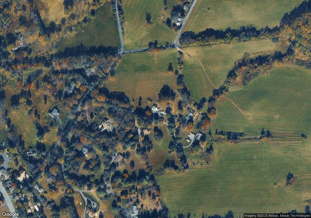
Map
Nearby Homes
- 1540 Fairville Rd
- 504 Kennett Pike
- 102 Alford Ct
- 336 Edinburgh Rd Unit 89
- 800 Fairville Rd
- 239 S Fairville Rd
- 1392 Hickory Hill Rd
- 6410 Kennett Pike
- 101 Burnt Mill Cir
- 101 Burnt Mill Cir Unit 1A
- 101 Burnt Mill Cir Unit 1B
- 25 Hillendale Rd
- 22 Mount Airy Dr
- 55 Woodside Dr
- 103 Haywood Rd
- 821 Burrows Run Rd
- 1 Laurel Ridge Ln
- 110 Hannah Ln
- 49 Partridge Ln
- 1 Quail Crossing
- 1520 Fairville Rd
- 1532 Fairville Rd
- 1524 Fairville Rd
- 3 Ridge Run Rd
- 1501 Fairville Rd
- 1407 Stockford Rd
- 2 Ridge Run Rd
- 1405 Stockford Rd
- 1505 Fairville Rd
- 1403 Stockford Rd
- 5 Ridge Run Rd
- 1401 Stockford Rd
- 1600 Fairville Rd
- 1399 Stockford Rd
- 1451 Fairville Rd
- 1400 Stockford Rd
- 12 Fairhill Dr
- 8 Fairhill Dr
- 935 Cossart Rd
- 10 Fairhill Dr