1520 Hartong Dr Lansing, IA 52151
Estimated Value: $268,000 - $294,534
2
Beds
2
Baths
1,203
Sq Ft
$237/Sq Ft
Est. Value
About This Home
This home is located at 1520 Hartong Dr, Lansing, IA 52151 and is currently estimated at $284,511, approximately $236 per square foot. 1520 Hartong Dr is a home located in Allamakee County with nearby schools including New Albin Elementary School, Lansing Middle School, and Kee High School.
Create a Home Valuation Report for This Property
The Home Valuation Report is an in-depth analysis detailing your home's value as well as a comparison with similar homes in the area
Home Values in the Area
Average Home Value in this Area
Tax History Compared to Growth
Tax History
| Year | Tax Paid | Tax Assessment Tax Assessment Total Assessment is a certain percentage of the fair market value that is determined by local assessors to be the total taxable value of land and additions on the property. | Land | Improvement |
|---|---|---|---|---|
| 2025 | $2,024 | $218,400 | $51,000 | $167,400 |
| 2024 | $2,024 | $191,800 | $51,000 | $140,800 |
| 2023 | $1,922 | $191,800 | $51,000 | $140,800 |
| 2022 | $1,668 | $151,700 | $51,000 | $100,700 |
| 2021 | $1,582 | $149,300 | $51,000 | $98,300 |
| 2020 | $1,582 | $135,800 | $42,000 | $93,800 |
| 2019 | $1,426 | $121,900 | $0 | $0 |
| 2018 | $1,380 | $121,900 | $0 | $0 |
| 2017 | $1,380 | $108,900 | $0 | $0 |
| 2016 | $1,216 | $108,900 | $0 | $0 |
| 2015 | $1,216 | $113,200 | $0 | $0 |
| 2014 | $1,270 | $113,200 | $0 | $0 |
Source: Public Records
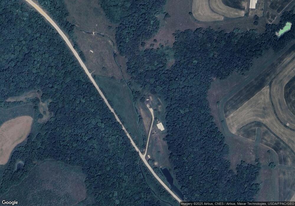
Map
Nearby Homes
- 1464 Iowa 9
- 1862 Village Creek Dr
- 1930 Hideaway Hills Ln Unit 29
- 370 Knolls St
- 73 Shaw St
- 371 Diagonal St
- 320 Diagonal St
- Lot 4 Majestic Heights Ln
- 197 Main St
- 100 N 2nd St Unit A
- 1381 N 2nd St
- 2183 Waterview Ln
- 2307 Mays Prairie Rd
- 000 Tbd Lycurgus Rd
- 2162 Lycurgus Rd
- 1906 Blue Heron Ln
- 1886 Great River Rd
- 525 4th St SE
- 22 3rd Ave SE
- 0 Parcel Id#1031351007 Unit 20211899