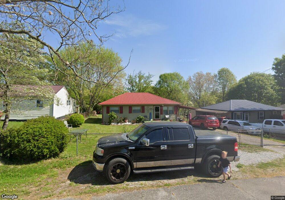
1520 Jones St Morristown, TN 37813
Estimated Value: $124,644 - $237,000
--
Bed
1
Bath
1,125
Sq Ft
$155/Sq Ft
Est. Value
About This Home
This home is located at 1520 Jones St, Morristown, TN 37813 and is currently estimated at $173,911, approximately $154 per square foot. 1520 Jones St is a home located in Hamblen County with nearby schools including Lincoln Heights Elementary School, Lincoln Heights Middle School, and Morristown West High School.
Ownership History
Date
Name
Owned For
Owner Type
Purchase Details
Closed on
Aug 18, 2004
Bought by
Greenlee Mills Deana J
Current Estimated Value
Purchase Details
Closed on
Mar 24, 1995
Sold by
Livingston Kathy L
Bought by
Deana Greenlee
Purchase Details
Closed on
Aug 14, 1992
Bought by
Livingston Kathy L
Purchase Details
Closed on
Aug 7, 1976
Bought by
Weigel John F and Weigel Janet
Create a Home Valuation Report for This Property
The Home Valuation Report is an in-depth analysis detailing your home's value as well as a comparison with similar homes in the area
Home Values in the Area
Average Home Value in this Area
Purchase History
| Date | Buyer | Sale Price | Title Company |
|---|---|---|---|
| Greenlee Mills Deana J | -- | -- | |
| Deana Greenlee | $44,900 | -- | |
| Livingston Kathy L | $30,900 | -- | |
| Weigel John F | $16,900 | -- |
Source: Public Records
Tax History Compared to Growth
Tax History
| Year | Tax Paid | Tax Assessment Tax Assessment Total Assessment is a certain percentage of the fair market value that is determined by local assessors to be the total taxable value of land and additions on the property. | Land | Improvement |
|---|---|---|---|---|
| 2024 | $304 | $17,275 | $2,625 | $14,650 |
| 2023 | $304 | $17,275 | $0 | $0 |
| 2022 | $546 | $17,275 | $2,625 | $14,650 |
| 2021 | $546 | $17,275 | $2,625 | $14,650 |
| 2020 | $545 | $17,275 | $2,625 | $14,650 |
| 2019 | $560 | $16,450 | $2,550 | $13,900 |
| 2018 | $519 | $16,450 | $2,550 | $13,900 |
| 2017 | $510 | $16,450 | $2,550 | $13,900 |
| 2016 | $487 | $16,450 | $2,550 | $13,900 |
| 2015 | $453 | $16,450 | $2,550 | $13,900 |
| 2014 | -- | $16,450 | $2,550 | $13,900 |
| 2013 | -- | $18,925 | $0 | $0 |
Source: Public Records
Map
Nearby Homes
- 440 S Fairmont Ave
- 837 Pauline Ave
- 203 Lincoln Ave
- 731 Lennie Ave
- 1530 Rayburn Dr
- 1476 Darbee Dr
- 1211 W 6th St N
- 900 Baird Ave
- 816 W 2nd St N
- 1002 Watercrest St
- 722 W 2nd St N
- 323 Pauline Ave
- 811 Crescent St
- 1442 Darbee Dr
- 1049 Greenway Dr
- 2024 Southwood Cir
- 2018 Southwood Cir
- 707 Walters Dr
- 529 N Jackson St
- 2045 N Economy Rd Unit A3