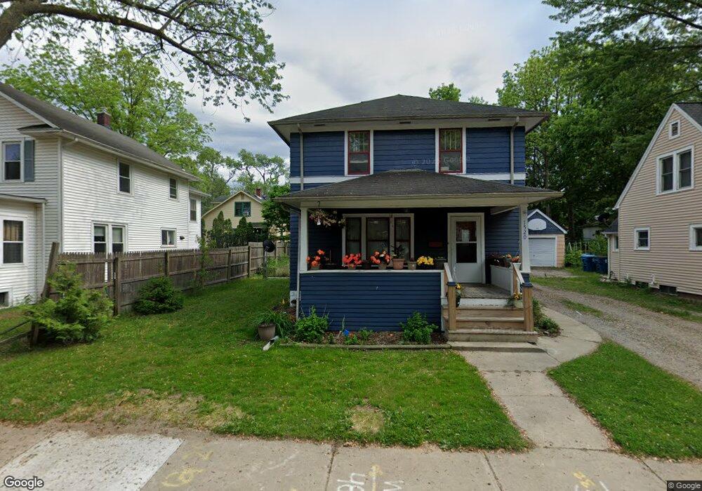
1520 Lay Blvd Kalamazoo, MI 49001
Edison NeighborhoodEstimated Value: $128,000 - $141,000
3
Beds
1
Bath
1,272
Sq Ft
$106/Sq Ft
Est. Value
About This Home
This home is located at 1520 Lay Blvd, Kalamazoo, MI 49001 and is currently estimated at $134,363, approximately $105 per square foot. 1520 Lay Blvd is a home located in Kalamazoo County with nearby schools including Milwood Elementary School, Milwood Magnet School, and Loy Norrix High School.
Ownership History
Date
Name
Owned For
Owner Type
Purchase Details
Closed on
Feb 10, 2011
Sold by
Donovan Shaun
Bought by
Sanchez Griselda
Current Estimated Value
Purchase Details
Closed on
Sep 14, 2010
Sold by
U S Bank Na
Bought by
Secretary Of Housing & Urban Development
Purchase Details
Closed on
Jul 22, 2010
Sold by
Maguire Ryan P
Bought by
Us Bank Na
Create a Home Valuation Report for This Property
The Home Valuation Report is an in-depth analysis detailing your home's value as well as a comparison with similar homes in the area
Home Values in the Area
Average Home Value in this Area
Purchase History
| Date | Buyer | Sale Price | Title Company |
|---|---|---|---|
| Sanchez Griselda | $18,150 | None Available | |
| Secretary Of Housing & Urban Development | -- | None Available | |
| Us Bank Na | $82,781 | None Available |
Source: Public Records
Mortgage History
| Date | Status | Borrower | Loan Amount |
|---|---|---|---|
| Previous Owner | Maguire Ryan P | $77,851 |
Source: Public Records
Tax History Compared to Growth
Tax History
| Year | Tax Paid | Tax Assessment Tax Assessment Total Assessment is a certain percentage of the fair market value that is determined by local assessors to be the total taxable value of land and additions on the property. | Land | Improvement |
|---|---|---|---|---|
| 2025 | $1,280 | $56,500 | $0 | $0 |
| 2024 | $715 | $44,900 | $0 | $0 |
| 2023 | $681 | $39,900 | $0 | $0 |
| 2022 | $1,161 | $34,000 | $0 | $0 |
| 2021 | $1,122 | $33,300 | $0 | $0 |
| 2020 | $1,099 | $29,300 | $0 | $0 |
| 2019 | $1,048 | $24,100 | $0 | $0 |
| 2018 | $1,023 | $21,800 | $0 | $0 |
| 2017 | $1,050 | $22,300 | $0 | $0 |
| 2016 | $1,050 | $21,800 | $0 | $0 |
| 2015 | $1,050 | $21,400 | $0 | $0 |
| 2014 | $1,050 | $19,700 | $0 | $0 |
Source: Public Records
Map
Nearby Homes
- 1424 Lay Blvd
- 1939 March St
- 1224 Lane Blvd
- 1118 Lane Blvd
- 1510 Palmer Ave
- 1719 Palmer Ave
- 1517 E Stockbridge Ave
- 1028 Clinton Ave
- 1118 E Alcott St
- 1707 E Stockbridge Ave
- 1303 E Stockbridge Ave
- 915 Hays Park Ave
- 1002 Egleston Ave
- 1512 Race St
- 1212 Washington Ave
- 2008 E Stockbridge Ave
- 1211 James St
- 923 E Stockbridge Ave
- 920 Washington Ave
- 916 Washington Ave
- 1514 Lay Blvd
- 1904 Cameron St
- 1510 Lay Blvd
- 1910 Cameron St
- 1916 Cameron St Unit Bldg-Unit
- 1916 Cameron St
- 1506 Lay Blvd
- 1602 Lay Blvd
- 1517 Lay Blvd
- 1504 Lay Blvd
- 1513 Lay Blvd
- 1523 Lay Blvd
- 1513 Lane Blvd
- 1911 Cameron St
- 1509 Lay Blvd
- 1517 Lane Blvd
- 1509 Lane Blvd
- 1523 Lane Blvd
- 1505 Lay Blvd
- 1507 Lane Blvd