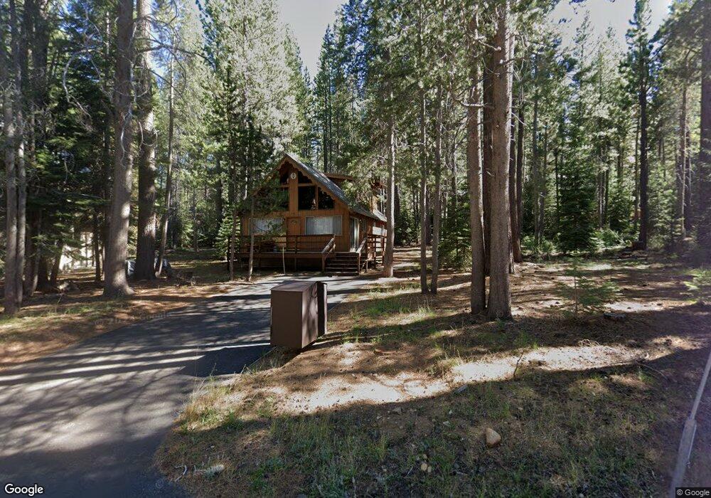
1520 Miztec St South Lake Tahoe, CA 96150
Estimated Value: $558,346 - $622,000
3
Beds
2
Baths
1,226
Sq Ft
$484/Sq Ft
Est. Value
About This Home
This home is located at 1520 Miztec St, South Lake Tahoe, CA 96150 and is currently estimated at $593,587, approximately $484 per square foot. 1520 Miztec St is a home located in El Dorado County with nearby schools including Sierra House Elementary School, South Tahoe Middle School, and South Tahoe High School.
Ownership History
Date
Name
Owned For
Owner Type
Purchase Details
Closed on
Mar 1, 2024
Sold by
Hudson Family Trust
Bought by
Hudson Family Trust and Hudson
Current Estimated Value
Purchase Details
Closed on
Mar 14, 2023
Sold by
Hudson Family Trust
Bought by
Trust A Of The Hudson Family Trust
Purchase Details
Closed on
Oct 29, 2002
Sold by
Hudson James F and Hudson Ruth Y
Bought by
Hudson James F and Hudson Ruth Y
Create a Home Valuation Report for This Property
The Home Valuation Report is an in-depth analysis detailing your home's value as well as a comparison with similar homes in the area
Home Values in the Area
Average Home Value in this Area
Purchase History
| Date | Buyer | Sale Price | Title Company |
|---|---|---|---|
| Hudson Family Trust | -- | None Listed On Document | |
| Charles And Stephanie Hudson Revocable Trust | -- | None Listed On Document | |
| Hudson Family Trust | -- | None Listed On Document | |
| Leinhaupel Trust | -- | None Listed On Document | |
| Trust A Of The Hudson Family Trust | -- | -- | |
| Hudson James F | -- | -- |
Source: Public Records
Tax History Compared to Growth
Tax History
| Year | Tax Paid | Tax Assessment Tax Assessment Total Assessment is a certain percentage of the fair market value that is determined by local assessors to be the total taxable value of land and additions on the property. | Land | Improvement |
|---|---|---|---|---|
| 2025 | $1,677 | $530,604 | $208,080 | $322,524 |
| 2024 | $1,677 | $146,885 | $18,737 | $128,148 |
| 2023 | $1,649 | $144,006 | $18,370 | $125,636 |
| 2022 | $1,633 | $141,183 | $18,010 | $123,173 |
| 2021 | $1,606 | $138,415 | $17,657 | $120,758 |
| 2020 | $1,587 | $136,996 | $17,476 | $119,520 |
| 2019 | $1,579 | $134,311 | $17,134 | $117,177 |
| 2018 | $1,545 | $131,679 | $16,799 | $114,880 |
| 2017 | $1,522 | $129,098 | $16,470 | $112,628 |
| 2016 | $1,493 | $126,568 | $16,148 | $110,420 |
| 2015 | $1,420 | $124,668 | $15,906 | $108,762 |
| 2014 | $1,420 | $122,229 | $15,596 | $106,633 |
Source: Public Records
Map
Nearby Homes
- 1540 Ojibwa St
- 1593 Plumas Cir
- 1513 Cree St
- 1594 Canienaga St
- 1952 Osage Cir
- 1876 Bella Coola Dr
- 1442 Vanderhoof Rd
- 1589 Cree St
- 1431 Vanderhoof Rd
- 1656 Oglala St
- 1617 Cree St
- 1713 Tionontati St
- 1795 Narragansett Cir
- 1774 Ababco St
- 1645 Iroquois Cir
- 1671 Crystal Air Dr
- 1568 Chippewa St
- 1678 Tionontati St
- 1644 Crystal Air Dr
- 1548 Iroquois Cir