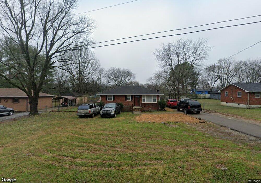
1520 Pearcy St La Vergne, TN 37086
Estimated Value: $216,000 - $291,000
--
Bed
1
Bath
925
Sq Ft
$269/Sq Ft
Est. Value
About This Home
This home is located at 1520 Pearcy St, La Vergne, TN 37086 and is currently estimated at $249,082, approximately $269 per square foot. 1520 Pearcy St is a home located in Rutherford County with nearby schools including Lavergne Primary School, Roy L. Waldron Elementary School, and La Vergne Middle School.
Ownership History
Date
Name
Owned For
Owner Type
Purchase Details
Closed on
Oct 16, 2019
Sold by
Barlog Jennifer L
Bought by
Barlog John L
Current Estimated Value
Purchase Details
Closed on
May 18, 1999
Sold by
Pitts Edith A
Bought by
Barlog John J and Barlog Jennifer L
Home Financials for this Owner
Home Financials are based on the most recent Mortgage that was taken out on this home.
Original Mortgage
$81,851
Outstanding Balance
$20,799
Interest Rate
6.84%
Estimated Equity
$228,283
Purchase Details
Closed on
Jan 26, 1994
Sold by
Williams Elvin E
Bought by
Pitts Edith A
Create a Home Valuation Report for This Property
The Home Valuation Report is an in-depth analysis detailing your home's value as well as a comparison with similar homes in the area
Home Values in the Area
Average Home Value in this Area
Purchase History
| Date | Buyer | Sale Price | Title Company |
|---|---|---|---|
| Barlog John L | -- | None Available | |
| Barlog John J | $81,900 | -- | |
| Pitts Edith A | $52,000 | -- |
Source: Public Records
Mortgage History
| Date | Status | Borrower | Loan Amount |
|---|---|---|---|
| Open | Pitts Edith A | $81,851 |
Source: Public Records
Tax History Compared to Growth
Tax History
| Year | Tax Paid | Tax Assessment Tax Assessment Total Assessment is a certain percentage of the fair market value that is determined by local assessors to be the total taxable value of land and additions on the property. | Land | Improvement |
|---|---|---|---|---|
| 2025 | $1,345 | $55,725 | $13,750 | $41,975 |
| 2024 | $1,345 | $55,725 | $13,750 | $41,975 |
| 2023 | $1,046 | $55,725 | $13,750 | $41,975 |
| 2022 | $901 | $55,725 | $13,750 | $41,975 |
| 2021 | $686 | $30,925 | $8,125 | $22,800 |
| 2020 | $686 | $30,925 | $8,125 | $22,800 |
| 2019 | $686 | $30,925 | $8,125 | $22,800 |
| 2018 | $869 | $30,925 | $0 | $0 |
| 2017 | $761 | $20,975 | $0 | $0 |
| 2016 | $761 | $20,975 | $0 | $0 |
| 2015 | $767 | $20,975 | $0 | $0 |
| 2014 | $522 | $20,975 | $0 | $0 |
| 2013 | -- | $20,500 | $0 | $0 |
Source: Public Records
Map
Nearby Homes
- 172 Parrish St
- 1804 Mars St
- 140 Parrish St
- 4007 George Buchanan
- 4004 George Buchanan
- 3038 Rg Buchanan Dr
- 1400 Bright Sky Ct
- 1705 Money St
- 1820 Mars St
- 1704 George Thomas Dr
- 0 Hollandale Rd Unit RTC2696032
- 149 Alsup Ln
- 402 Moshe Mualem Place
- 307 Moshe Feder Way
- 320 Moshe Feder Way
- 144 Heritage Cir
- 316 Crockett Ct
- 118 Markum Dr
- 126 Gale Ln
- 122 Waldron Cir