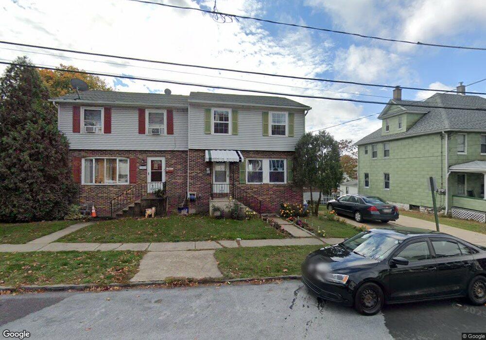
1520 Pine St Scranton, PA 18510
Hill Section NeighborhoodEstimated Value: $137,140 - $270,000
Studio
--
Bath
--
Sq Ft
2,047
Sq Ft Lot
About This Home
This home is located at 1520 Pine St, Scranton, PA 18510 and is currently estimated at $189,035. 1520 Pine St is a home located in Lackawanna County with nearby schools including William Prescott School, Northeast Scranton Intermediate School, and Scranton High School.
Ownership History
Date
Name
Owned For
Owner Type
Purchase Details
Closed on
Jan 8, 2020
Sold by
Bansal Pardeep
Bought by
Patel Chandrakant and Patel Jagrutiben
Current Estimated Value
Purchase Details
Closed on
Oct 18, 2006
Sold by
Pro Ko Properties Inc
Bought by
Bansal Pardeep
Home Financials for this Owner
Home Financials are based on the most recent Mortgage that was taken out on this home.
Original Mortgage
$30,000
Interest Rate
6.49%
Mortgage Type
New Conventional
Create a Home Valuation Report for This Property
The Home Valuation Report is an in-depth analysis detailing your home's value as well as a comparison with similar homes in the area
Home Values in the Area
Average Home Value in this Area
Purchase History
| Date | Buyer | Sale Price | Title Company |
|---|---|---|---|
| Patel Chandrakant | $80,000 | None Available | |
| Bansal Pardeep | $73,200 | None Available |
Source: Public Records
Mortgage History
| Date | Status | Borrower | Loan Amount |
|---|---|---|---|
| Previous Owner | Bansal Pardeep | $30,000 |
Source: Public Records
Tax History
| Year | Tax Paid | Tax Assessment Tax Assessment Total Assessment is a certain percentage of the fair market value that is determined by local assessors to be the total taxable value of land and additions on the property. | Land | Improvement |
|---|---|---|---|---|
| 2025 | $3,268 | $10,000 | $1,850 | $8,150 |
| 2024 | $2,990 | $10,000 | $1,850 | $8,150 |
| 2023 | $2,990 | $10,000 | $1,850 | $8,150 |
| 2022 | $2,924 | $10,000 | $1,850 | $8,150 |
| 2021 | $2,924 | $10,000 | $1,850 | $8,150 |
| 2020 | $2,871 | $10,000 | $1,850 | $8,150 |
| 2019 | $2,701 | $10,000 | $1,850 | $8,150 |
| 2018 | $2,701 | $10,000 | $1,850 | $8,150 |
| 2017 | $2,654 | $10,000 | $1,850 | $8,150 |
| 2016 | $842 | $10,000 | $1,850 | $8,150 |
| 2015 | $1,673 | $10,000 | $1,850 | $8,150 |
| 2014 | -- | $10,000 | $1,850 | $8,150 |
Source: Public Records
Map
Nearby Homes
- 7 Oakwood Place
- 616-618 Harrison Ave
- 1318 Pine St
- 810 Wheeler Ave
- 516 Harrison Ave
- 0 Colfax and Gibson Ave Unit GSBSC255175
- 1513 1515 Vine St
- 619 Arthur Ave
- 617 Arthur Ave
- 615 Arthur Ave
- 529 Taylor Ave
- 0 Colfax Ave
- 917 Taylor Ave
- 432 Taylor Ave
- 550 Clay Ave Unit 8c
- 1406 Ash St
- 342 Harrison Ave
- 1017 Prescott Ave
- 1018 N Webster Ave
- 825 827 Quincy Ave Unit 825-827
- 643 Harrison Ave
- 1522 Pine St
- 1516 Pine St Unit 1518
- 641 Harrison Ave
- 639 Harrison Ave
- 637 Harrison Ave
- 701 Harrison Ave
- 635 Harrison Ave
- 635 Harrison L 21 Ave
- 1521 Pine St
- 1510 Pine St
- 1519 Pine St
- 1517 Pine St
- 703 Harrison Ave
- 1515 Pine St
- 1515 Pine St Bottom
- 1508 Pine St
- 629 Harrison Ave Unit 631
- 705 Harrison Ave
- 1513 Pine St