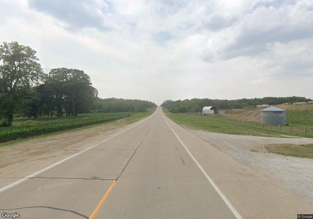
1520 Us Highway 136 Tecumseh, NE 68450
Estimated Value: $232,000 - $310,000
3
Beds
4
Baths
1,494
Sq Ft
$183/Sq Ft
Est. Value
About This Home
This home is located at 1520 Us Highway 136, Tecumseh, NE 68450 and is currently estimated at $273,066, approximately $182 per square foot. 1520 Us Highway 136 is a home located in Johnson County with nearby schools including Johnson County Central Elementary School - Tecumseh, Johnson County Central Elementary School - Cook, and Johnson County Central Middle School.
Ownership History
Date
Name
Owned For
Owner Type
Purchase Details
Closed on
Oct 31, 2008
Sold by
Hinkle Jill L Campbell-
Bought by
Campbell Jon G
Current Estimated Value
Purchase Details
Closed on
Nov 20, 2007
Sold by
Campbell Jon G
Bought by
Hinkle Jill L Campbell-
Purchase Details
Closed on
Apr 12, 2004
Sold by
Campbell Judith
Bought by
Campbell Jon G
Create a Home Valuation Report for This Property
The Home Valuation Report is an in-depth analysis detailing your home's value as well as a comparison with similar homes in the area
Home Values in the Area
Average Home Value in this Area
Purchase History
| Date | Buyer | Sale Price | Title Company |
|---|---|---|---|
| Campbell Jon G | $50,000 | -- | |
| Hinkle Jill L Campbell- | -- | -- | |
| Campbell Jon G | -- | -- |
Source: Public Records
Tax History Compared to Growth
Tax History
| Year | Tax Paid | Tax Assessment Tax Assessment Total Assessment is a certain percentage of the fair market value that is determined by local assessors to be the total taxable value of land and additions on the property. | Land | Improvement |
|---|---|---|---|---|
| 2024 | $2,935 | $195,686 | $44,823 | $150,863 |
| 2023 | $3,731 | $176,139 | $44,823 | $131,316 |
| 2022 | $2,805 | $133,531 | $21,897 | $111,634 |
| 2021 | $2,564 | $128,998 | $17,364 | $111,634 |
| 2020 | $2,676 | $136,653 | $14,299 | $122,354 |
| 2019 | $2,673 | $136,653 | $14,299 | $122,354 |
| 2018 | $2,640 | $136,653 | $14,299 | $122,354 |
| 2017 | $2,772 | $150,830 | $14,750 | $136,080 |
| 2016 | $2,772 | $150,830 | $14,750 | $136,080 |
| 2015 | $2,766 | $149,322 | $14,603 | $134,719 |
| 2014 | $2,944 | $150,830 | $14,750 | $136,080 |
Source: Public Records
Map
Nearby Homes
- TBD 620 Ave
- 425 High St
- 612.5 Ave Us Highway 136
- 684 N 5th St
- 571 N 3rd St
- 588 Shawnee Blvd
- Denver Plan at Shawnee Ridge
- Nantucket II Plan at Shawnee Ridge
- Breckenridge Plan at Shawnee Ridge
- Boulder Plan at Shawnee Ridge
- Dakota Plan at Shawnee Ridge
- Vista II Plan at Shawnee Ridge
- Vail II Plan at Shawnee Ridge
- Vail Plan at Shawnee Ridge
- Vista Plan at Shawnee Ridge
- Otoe Plan at Shawnee Ridge
- Durango Plan at Shawnee Ridge
- Navajo Plan at Shawnee Ridge
- Inca Plan at Shawnee Ridge
- Mesa Plan at Shawnee Ridge
