1520 W Avenue h10 Lancaster, CA 93534
Central Lancaster NeighborhoodEstimated Value: $374,000 - $385,000
3
Beds
2
Baths
1,054
Sq Ft
$359/Sq Ft
Est. Value
About This Home
This home is located at 1520 W Avenue h10, Lancaster, CA 93534 and is currently estimated at $378,831, approximately $359 per square foot. 1520 W Avenue h10 is a home located in Los Angeles County with nearby schools including Desert View Elementary School, Piute Middle School, and Lancaster High School.
Ownership History
Date
Name
Owned For
Owner Type
Purchase Details
Closed on
Jun 2, 2025
Sold by
Bennett David A and Famil Tina
Bought by
Flores Santos Enrique
Current Estimated Value
Home Financials for this Owner
Home Financials are based on the most recent Mortgage that was taken out on this home.
Original Mortgage
$376,062
Outstanding Balance
$375,097
Interest Rate
6.81%
Mortgage Type
FHA
Estimated Equity
$3,734
Purchase Details
Closed on
Jun 11, 2004
Sold by
Bennett David A and Bennett Tina A
Bought by
Bennett David A
Create a Home Valuation Report for This Property
The Home Valuation Report is an in-depth analysis detailing your home's value as well as a comparison with similar homes in the area
Home Values in the Area
Average Home Value in this Area
Purchase History
| Date | Buyer | Sale Price | Title Company |
|---|---|---|---|
| Flores Santos Enrique | $383,000 | Chicago Title Company | |
| Bennett David A | -- | -- |
Source: Public Records
Mortgage History
| Date | Status | Borrower | Loan Amount |
|---|---|---|---|
| Open | Flores Santos Enrique | $376,062 |
Source: Public Records
Tax History Compared to Growth
Tax History
| Year | Tax Paid | Tax Assessment Tax Assessment Total Assessment is a certain percentage of the fair market value that is determined by local assessors to be the total taxable value of land and additions on the property. | Land | Improvement |
|---|---|---|---|---|
| 2025 | $2,985 | $138,075 | $40,601 | $97,474 |
| 2024 | $2,985 | $135,368 | $39,805 | $95,563 |
| 2023 | $2,924 | $132,715 | $39,025 | $93,690 |
| 2022 | $2,742 | $130,113 | $38,260 | $91,853 |
| 2021 | $2,365 | $127,562 | $37,510 | $90,052 |
| 2019 | $2,303 | $123,781 | $36,399 | $87,382 |
| 2018 | $2,264 | $121,355 | $35,686 | $85,669 |
| 2016 | $2,156 | $116,645 | $34,301 | $82,344 |
| 2015 | $2,132 | $114,894 | $33,786 | $81,108 |
| 2014 | $2,132 | $112,645 | $33,125 | $79,520 |
Source: Public Records
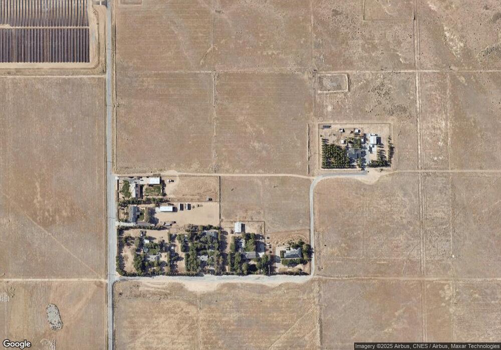
Map
Nearby Homes
- 1475 Boyden Ave
- 1560 W Avenue h10
- 45443 Saigon Ave
- 45439 Lorimer Ave
- 45433 Lorimer Ave
- 45503 Lorimer Ave
- 45339 Saigon Ave
- 1326 W Avenue h10
- 45629 Barham Ave
- 32 W Avenue H 8
- 32 St W Avenue H 8
- 45505 13th St W
- 45521 13
- 45551 Pickford Ave
- 45550 Fairbanks Ave
- 45704 Barham Ave
- 45451 Fairbanks Ave
- 1408 W Avenue h15
- 1328 W Avenue H-6
- 1217 W Avenue h7
- 1514 W Avenue H-10
- 1526 W Avenue h10
- 1514 W Avenue h10
- 1519 W Avenue h11
- 1532 W Avenue h10
- 1508 W Avenue h10
- 1523 W Avenue h11
- 1515 W Avenue h11
- 1529 W Avenue h11
- 1502 W Avenue h10
- 45468 Thornwood Ave
- 1535 W Lancaster Unit H-11
- 1535 W Avenue h11
- 45462 Thornwood Ave
- 1511 W Avenue h11
- 1543 W Avenue h11
- 1524 W Avenue h11
- 1520 W Avenue h11
- 1510 W Avenue h11
- 1530 W Avenue h11