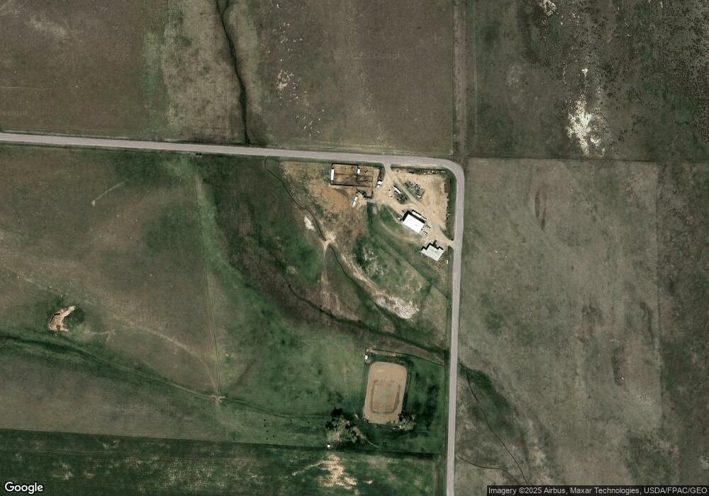
15200 Conover Rd Broadview, MT 59015
Estimated Value: $118,000 - $642,446
2
Beds
2
Baths
960
Sq Ft
$366/Sq Ft
Est. Value
About This Home
This home is located at 15200 Conover Rd, Broadview, MT 59015 and is currently estimated at $351,482, approximately $366 per square foot. 15200 Conover Rd is a home located in Yellowstone County with nearby schools including Broadview High School.
Ownership History
Date
Name
Owned For
Owner Type
Purchase Details
Closed on
Apr 15, 2019
Sold by
Foard Ranch Llc
Bought by
Foard Ryan
Current Estimated Value
Home Financials for this Owner
Home Financials are based on the most recent Mortgage that was taken out on this home.
Original Mortgage
$373,500
Outstanding Balance
$333,896
Interest Rate
4.12%
Estimated Equity
$35,359
Purchase Details
Closed on
Apr 20, 2015
Sold by
Keane Michael F
Bought by
Foard Ranch Llc
Home Financials for this Owner
Home Financials are based on the most recent Mortgage that was taken out on this home.
Original Mortgage
$245,174
Interest Rate
6.25%
Mortgage Type
Future Advance Clause Open End Mortgage
Purchase Details
Closed on
Apr 5, 2007
Sold by
Branch Water Llc
Bought by
Keane Michael F
Purchase Details
Closed on
Mar 22, 2002
Sold by
Schmechel Michael T and Schmechel Christine G
Bought by
Branch Water Llc
Create a Home Valuation Report for This Property
The Home Valuation Report is an in-depth analysis detailing your home's value as well as a comparison with similar homes in the area
Home Values in the Area
Average Home Value in this Area
Purchase History
Date | Buyer | Sale Price | Title Company |
---|---|---|---|
Foard Ryan | $439,400 | -- | |
Foard Ranch Llc | -- | Amercian Title & Escrow | |
Keane Michael F | -- | None Available | |
Branch Water Llc | -- | None Available |
Source: Public Records
Mortgage History
Date | Status | Borrower | Loan Amount |
---|---|---|---|
Open | Foard Ryan | $373,500 | |
Closed | Foard Ryan | -- | |
Previous Owner | Foard Ranch Llc | $245,174 | |
Previous Owner | Keane Michael F | $201,813 |
Source: Public Records
Tax History Compared to Growth
Tax History
Year | Tax Paid | Tax Assessment Tax Assessment Total Assessment is a certain percentage of the fair market value that is determined by local assessors to be the total taxable value of land and additions on the property. | Land | Improvement |
---|---|---|---|---|
2024 | $1,583 | $257,010 | $54,020 | $202,990 |
2023 | $1,532 | $257,010 | $54,020 | $202,990 |
2022 | $1,526 | $223,396 | $0 | $0 |
2021 | $1,512 | $223,396 | $0 | $0 |
2020 | $1,451 | $214,494 | $0 | $0 |
2019 | $1,447 | $214,494 | $0 | $0 |
2018 | $1,406 | $201,917 | $0 | $0 |
2017 | $1,359 | $201,917 | $0 | $0 |
2016 | $1,306 | $197,251 | $0 | $0 |
2015 | $1,262 | $194,111 | $0 | $0 |
2014 | -- | $117,545 | $0 | $0 |
Source: Public Records
Map
Nearby Homes
- 000 Us Highway 3
- 14035 3rd St
- 14050 4th St
- 16655 & 16647 Donald Ave
- 16503 Iowa Ave
- The Big Seep Dry Farm
- 13787 Broadview Rd E Unit 2
- 13787 Broadview Rd E Unit 1
- 00 David Rd
- 841 Stiles Rd
- 543 Belmont Rd
- lot 3 Rocky Ave
- TBD Winter Wheat Way
- 9791 Winter Wheat Way
- TBD Winalta Ave
- TBD Roughrider Rd
- 201 Bundy Rd
- 14233 U S 12
- 1851 Goulding Creek Rd
- 7954 Popelka Rd