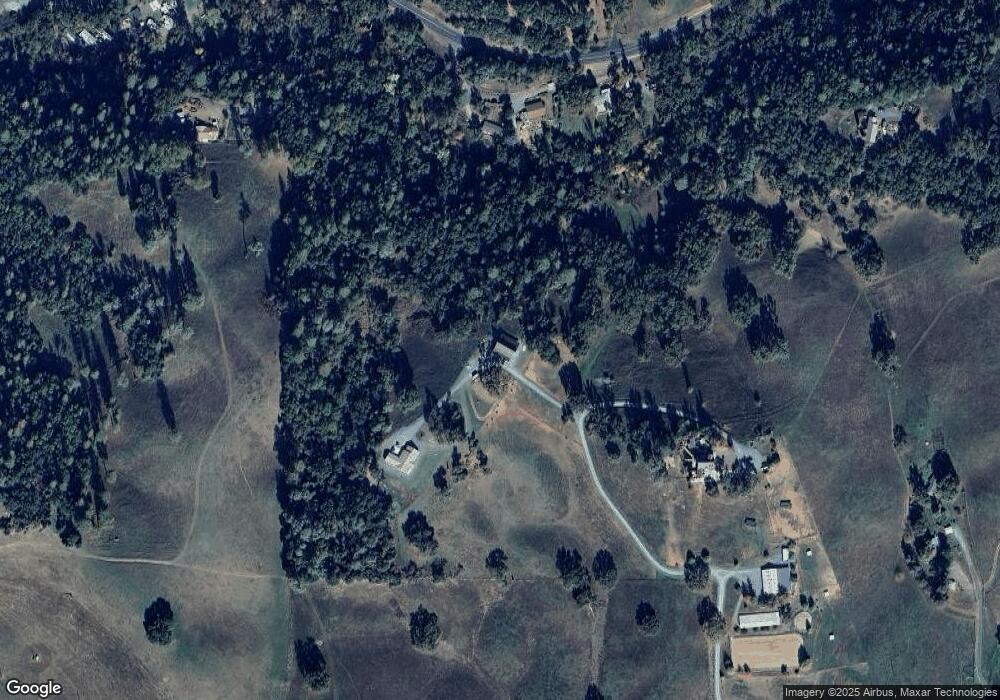
15201 Clinton Rd Jackson, CA 95642
Estimated Value: $657,000 - $1,477,140
3
Beds
2
Baths
2,508
Sq Ft
$375/Sq Ft
Est. Value
About This Home
This home is located at 15201 Clinton Rd, Jackson, CA 95642 and is currently estimated at $940,380, approximately $374 per square foot. 15201 Clinton Rd is a home with nearby schools including Jackson Elementary School, Jackson Junior High School, and Argonaut High School.
Ownership History
Date
Name
Owned For
Owner Type
Purchase Details
Closed on
Dec 18, 2020
Sold by
Smithson Terry D and Smithson Cornelia
Bought by
Blankenheim Michael and Blankenheim Anna
Current Estimated Value
Purchase Details
Closed on
Apr 10, 2017
Sold by
Roulet Cary L and Roulet Dana L
Bought by
Smithson Terry D and Smithson Cornelia
Purchase Details
Closed on
Dec 21, 2004
Sold by
Kinzer Craig A and Kinzer Carrie J
Bought by
Roulet Cary L and Roulet Dana L
Create a Home Valuation Report for This Property
The Home Valuation Report is an in-depth analysis detailing your home's value as well as a comparison with similar homes in the area
Purchase History
| Date | Buyer | Sale Price | Title Company |
|---|---|---|---|
| Blankenheim Michael | -- | None Available | |
| Smithson Terry D | $450,000 | North American Title Co Inc | |
| Roulet Cary L | $375,000 | Western Land Title Co |
Source: Public Records
Tax History
| Year | Tax Paid | Tax Assessment Tax Assessment Total Assessment is a certain percentage of the fair market value that is determined by local assessors to be the total taxable value of land and additions on the property. | Land | Improvement |
|---|---|---|---|---|
| 2025 | $12,789 | $1,282,343 | $516,458 | $765,885 |
| 2024 | $12,789 | $1,257,200 | $506,332 | $750,868 |
| 2023 | $12,538 | $1,232,550 | $496,404 | $736,146 |
| 2022 | $12,241 | $1,208,383 | $486,671 | $721,712 |
| 2021 | $12,007 | $1,184,690 | $477,129 | $707,561 |
| 2020 | $7,203 | $707,543 | $472,237 | $235,306 |
| 2019 | $5,591 | $548,680 | $462,978 | $85,702 |
| 2018 | $4,684 | $459,000 | $453,900 | $5,100 |
| 2017 | $1,583 | $156,000 | $156,000 | $0 |
| 2016 | $1,583 | $156,000 | $156,000 | $0 |
| 2015 | $1,524 | $150,000 | $150,000 | $0 |
| 2014 | $1,523 | $150,000 | $150,000 | $0 |
Source: Public Records
Map
Nearby Homes
- 15900 State Highway 88
- 14905 State Highway 88
- 14950 Clinton Rd
- 20 Rollingwood Dr Unit 150
- 20 Rollingwood Dr Unit 55
- 20 Rollingwood Dr Unit 212
- 20 Rollingwood Dr Unit 200
- 20 Rollingwood Dr Unit 119
- 20 Rollingwood Dr Unit 88
- 20 Rollingwood Dr Unit 70
- 20 Rollingwood Dr Unit 155
- 20 Rollingwood Dr Unit 141
- 20 Rollingwood Dr Unit 83
- 20 Rollingwood Dr Unit 159
- 20 Rollingwood Dr Unit 179
- 20 Rollingwood Dr Unit 154
- 20 Rollingwood Dr Unit 63
- 515 Clinton Rd
- 16300 Rossbridge Rd
- 581 Scottsville Blvd
- 15100 Ousby Rd
- 15104 Ousby Rd
- 15136 Ousby Rd
- 15170 Ousby Rd
- 14902 State Highway 88
- 14902 State Highway 88
- 14902 State Highway 88
- 15209 Clinton Rd
- 15151 State Highway 88
- 15171 State Highway 88
- 14906 California 88
- 14906 State Highway 88
- 15100 Clinton Rd
- 15361 Clinton Rd
- 15160 Clinton Rd
- 15231 State Highway 88
- 14801 California 88
- 14935 State Highway 88
- 14935 California 88
- 15173 State Highway 88
Your Personal Tour Guide
Ask me questions while you tour the home.