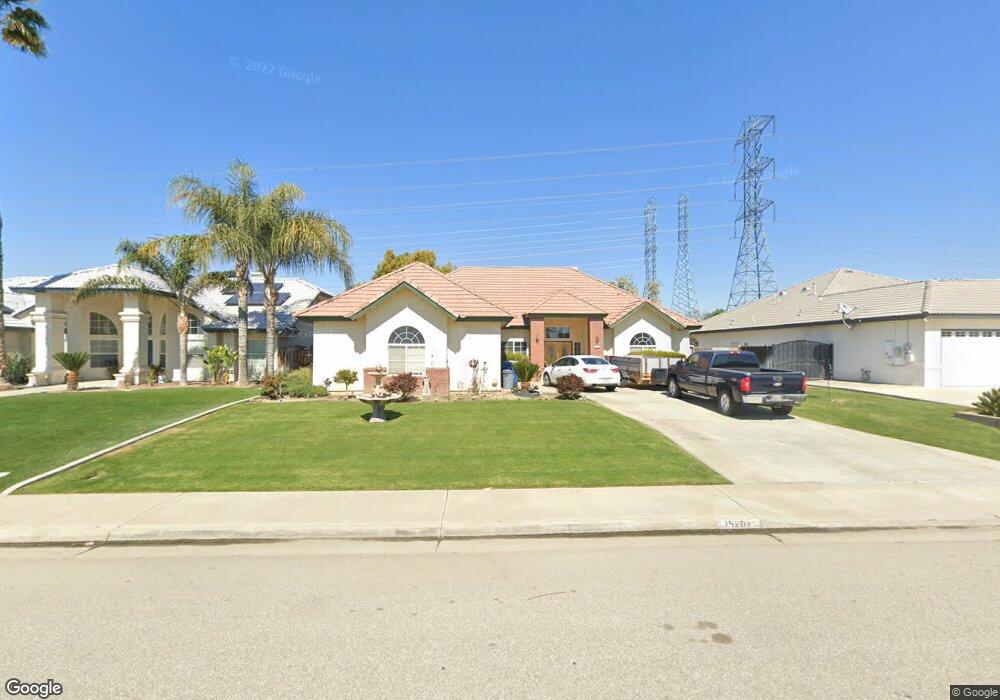
15202 Dobbs Ave Bakersfield, CA 93314
Estimated Value: $548,000 - $653,000
About This Home
This home is located at 15202 Dobbs Ave, Bakersfield, CA 93314 and is currently estimated at $599,284, approximately $288 per square foot. 15202 Dobbs Ave is a home located in Kern County with nearby schools including Independence Elementary School, Freedom Middle School, and Frontier High School.
Ownership History
We collect this data history from publicly available records. To have your information removed, we recommend requesting removal directly through your county’s website.
Purchase Details
Purchase Details
Home Financials for this Owner
Home Financials are based on the most recent Mortgage that was taken out on this home.Purchase Details
Home Values in the Area
Average Home Value in this Area
Purchase History
We collect this data history from publicly available records. To have your information removed, we recommend requesting removal directly through your county’s website.
| Date | Buyer | Sale Price | Title Company |
|---|---|---|---|
| -- | None Available | ||
| $170,000 | First American Title Co | ||
| $35,000 | American Title |
Mortgage History
We collect this data history from publicly available records. To have your information removed, we recommend requesting removal directly through your county’s website.
| Date | Status | Borrower | Loan Amount |
|---|---|---|---|
| Open | $62,000 |
Tax History
We collect this data history from publicly available records. To have your information removed, we recommend requesting removal directly through your county’s website.
| Year | Tax Paid | Tax Assessment Tax Assessment Total Assessment is a certain percentage of the fair market value that is determined by local assessors to be the total taxable value of land and additions on the property. | Land | Improvement |
|---|---|---|---|---|
| 2025 | $4,263 | $256,138 | $60,260 | $195,878 |
| 2024 | $4,157 | $251,117 | $59,079 | $192,038 |
| 2023 | $4,157 | $246,194 | $57,921 | $188,273 |
| 2022 | $4,054 | $241,368 | $56,786 | $184,582 |
| 2021 | $3,921 | $236,636 | $55,673 | $180,963 |
| 2020 | $3,832 | $234,211 | $55,103 | $179,108 |
| 2019 | $3,756 | $234,211 | $55,103 | $179,108 |
| 2018 | $3,660 | $225,118 | $52,964 | $172,154 |
| 2017 | $3,586 | $220,705 | $51,926 | $168,779 |
| 2016 | $3,362 | $216,378 | $50,908 | $165,470 |
| 2015 | $3,299 | $213,129 | $50,144 | $162,985 |
| 2014 | $3,226 | $208,955 | $49,162 | $159,793 |
Map
- 15100 Dobbs Ave
- 2800 Adee Ln
- 14854 Tribute Way
- 14925 Mooresville Place
- 14614 Tribute Way
- 2537 Ollie Ct Unit 1
- 15503 Marty Ave
- 14912 Henderson Ave
- 2441 Ollie Ct
- 2425 Ollie Ct
- 15014 Thunder Valley Rd
- 15608 Sammie Ave
- 15419 Calabria Ct
- 16729 Starview Ct
- 16627 Starview Ct
- 14924 Wayne Lee Ct
- 15909 Clarisse St
- 16016 Clarisse St
- 16349 Coastal Ct
- 14035 Rosedale Hwy Unit 66
- 15210 Dobbs Ave
- 15218 Dobbs Ave
- 15124 Dobbs Ave
- 15226 Dobbs Ave
- 15116 Dobbs Ave
- 2808 Tami Ct
- 2809 Tami Ct
- 15108 Dobbs Ave
- 2809 Adee Ln
- 2800 Tami Ct
- 2801 Tami Ct
- 3001 Redwood Point Ct
- 2801 Adee Ln
- 15026 Dobbs Ave
- 2929 Redwood Point Ct Unit B
- 2718 Tami Ct
- 2719 Tami Ct
- 15025 Redwood Valley Dr Unit B
- 3009 Redwood Point Ct Unit B
- 15018 Dobbs Ave
Ask me questions while you tour the home.