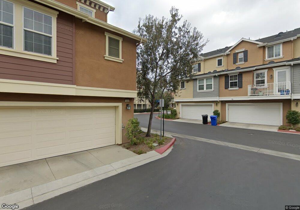
15202 Taylor Way Unit 10 Tustin, CA 92782
Estimated Value: $1,105,840 - $1,284,000
3
Beds
3
Baths
1,827
Sq Ft
$639/Sq Ft
Est. Value
About This Home
This home is located at 15202 Taylor Way Unit 10, Tustin, CA 92782 and is currently estimated at $1,167,710, approximately $639 per square foot. 15202 Taylor Way Unit 10 is a home located in Orange County with nearby schools including Heritage Elementary, Legacy Magnet Academy, and Milestones Montessori of Irvine.
Ownership History
Date
Name
Owned For
Owner Type
Purchase Details
Closed on
Aug 31, 2007
Sold by
Lennar Homes Of California Inc
Bought by
Ahinaquah Benjamin Kwame and Ahinaquah Dora
Current Estimated Value
Home Financials for this Owner
Home Financials are based on the most recent Mortgage that was taken out on this home.
Original Mortgage
$508,200
Interest Rate
6.42%
Mortgage Type
Purchase Money Mortgage
Create a Home Valuation Report for This Property
The Home Valuation Report is an in-depth analysis detailing your home's value as well as a comparison with similar homes in the area
Home Values in the Area
Average Home Value in this Area
Purchase History
| Date | Buyer | Sale Price | Title Company |
|---|---|---|---|
| Ahinaquah Benjamin Kwame | $587,000 | North American Title Co |
Source: Public Records
Mortgage History
| Date | Status | Borrower | Loan Amount |
|---|---|---|---|
| Previous Owner | Ahinaquah Benjamin Kwame | $508,200 |
Source: Public Records
Tax History Compared to Growth
Tax History
| Year | Tax Paid | Tax Assessment Tax Assessment Total Assessment is a certain percentage of the fair market value that is determined by local assessors to be the total taxable value of land and additions on the property. | Land | Improvement |
|---|---|---|---|---|
| 2025 | $1,210 | $103,496 | $25,876 | $77,620 |
| 2024 | $1,210 | $101,467 | $25,368 | $76,099 |
| 2023 | $1,181 | $99,478 | $24,871 | $74,607 |
| 2022 | $1,157 | $97,528 | $24,383 | $73,145 |
| 2021 | $1,130 | $95,616 | $23,905 | $71,711 |
| 2020 | $1,119 | $94,636 | $23,660 | $70,976 |
| 2019 | $1,089 | $92,781 | $23,196 | $69,585 |
| 2018 | $1,067 | $90,962 | $22,741 | $68,221 |
| 2017 | $1,046 | $89,179 | $22,295 | $66,884 |
| 2016 | $1,026 | $87,431 | $21,858 | $65,573 |
| 2015 | $1,009 | $86,118 | $21,529 | $64,589 |
| 2014 | $986 | $84,432 | $21,108 | $63,324 |
Source: Public Records
Map
Nearby Homes
- 1427 Montgomery St Unit 70
- 15229 Columbus Square
- 14781 Bridgeport Rd
- 14682 Emerywood Rd
- 285 Lodestar
- 159 Waypoint
- 413 Transport
- 419 Transport
- 2081 Nantucket Place
- 16235 Dawn Way Unit 203
- 16321 Veterans Way
- 16328 Helber Way
- 14802 Newport Ave Unit 2B
- 14802 Newport Ave Unit 18A
- 18 Windrow Rd
- 14481 Denbigh Ln
- 61 Windwalker Way
- 1381 Penrith Ln
- 37 Preston Place
- 1582 Mitchell Ave
- 15206 Taylor Way Unit 218
- 15206 Taylor Way
- 15208 Taylor Way Unit 13
- 15204 Taylor Way Unit 11
- 15210 Taylor Way
- 15205 Lafayette Way Unit 80
- 15209 Lafayette Way
- 15214 Taylor Way Unit 16
- 15211 Lafayette Way
- 15213 Lafayette Way
- 15216 Taylor Way Unit 17
- 1430 Montgomery St
- 1428 Montgomery St Unit 2
- 1426 Montgomery St
- 15212 Taylor Way Unit 15
- 15220 Taylor Way
- 15211 Byron Way
- 15209 Byron Way Unit 8
- 1409 Wheaton Way
- 1424 Montgomery St Unit 83