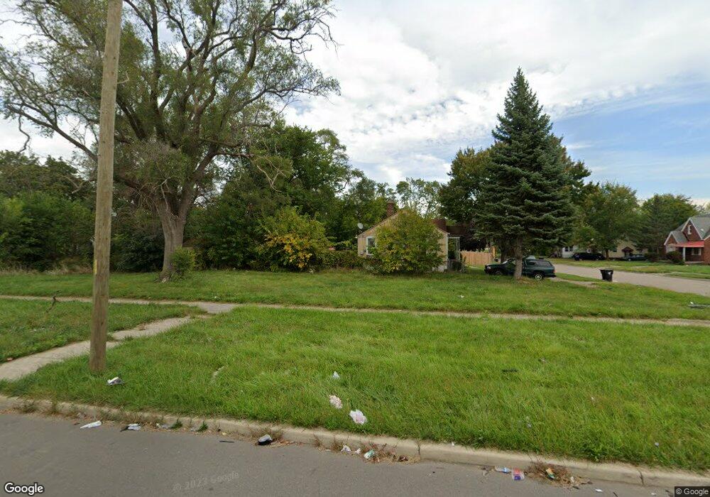
15203 Liberal St Detroit, MI 48205
Regent Park NeighborhoodEstimated Value: $48,000 - $53,000
2
Beds
1
Bath
700
Sq Ft
$71/Sq Ft
Est. Value
About This Home
This home is located at 15203 Liberal St, Detroit, MI 48205 and is currently estimated at $50,000, approximately $71 per square foot. 15203 Liberal St is a home located in Wayne County with nearby schools including Edward 'Duke' Ellington Conservatory of Music and Art, Charles L. Spain Elementary-Middle School, and Denby High School.
Ownership History
Date
Name
Owned For
Owner Type
Purchase Details
Closed on
Mar 9, 2016
Sold by
The Detroit Land Bank Authority
Bought by
Cunningham Jontae
Current Estimated Value
Purchase Details
Closed on
Feb 7, 2013
Sold by
Wayne County Treasurer
Bought by
Planning & Development Dept City Of Detr
Purchase Details
Closed on
Apr 23, 2009
Sold by
Secretary Of Housing & Urban Development
Bought by
Core Elizabeth S
Purchase Details
Closed on
Nov 13, 2006
Sold by
Towne Mortgage Co
Bought by
Hud
Purchase Details
Closed on
Apr 26, 2006
Sold by
Walker Antoinette
Bought by
Towne Mortgage Co
Purchase Details
Closed on
May 30, 2001
Sold by
Ann Investment Co Inc
Bought by
Walker Antoinette
Create a Home Valuation Report for This Property
The Home Valuation Report is an in-depth analysis detailing your home's value as well as a comparison with similar homes in the area
Home Values in the Area
Average Home Value in this Area
Purchase History
| Date | Buyer | Sale Price | Title Company |
|---|---|---|---|
| Cunningham Jontae | -- | Attorney | |
| Planning & Development Dept City Of Detr | -- | None Available | |
| Core Elizabeth S | $800 | None Available | |
| Hud | -- | None Available | |
| Towne Mortgage Co | $53,221 | None Available | |
| Walker Antoinette | -- | -- |
Source: Public Records
Tax History Compared to Growth
Tax History
| Year | Tax Paid | Tax Assessment Tax Assessment Total Assessment is a certain percentage of the fair market value that is determined by local assessors to be the total taxable value of land and additions on the property. | Land | Improvement |
|---|---|---|---|---|
| 2025 | $30 | $800 | $0 | $0 |
| 2024 | $30 | $400 | $0 | $0 |
| 2023 | $31 | $400 | $0 | $0 |
| 2022 | $35 | $400 | $0 | $0 |
| 2021 | $35 | $400 | $0 | $0 |
| 2020 | $35 | $400 | $0 | $0 |
| 2019 | $35 | $400 | $0 | $0 |
| 2018 | $31 | $400 | $0 | $0 |
| 2017 | $7 | $400 | $0 | $0 |
| 2016 | $18 | $0 | $0 | $0 |
| 2015 | $925 | $0 | $0 | $0 |
| 2013 | $925 | $9,254 | $0 | $0 |
| 2010 | -- | $13,568 | $987 | $12,581 |
Source: Public Records
Map
Nearby Homes
- 15018 Tacoma St
- 14996 Tacoma St
- 14944 Manning St
- 14985 Tacoma St
- 15037 E State Fair St
- 14952 E State Fair Ave
- 15411 E State Fair St
- 15645 Liberal St
- 14772 Tacoma St
- 14931 Rossini Dr
- 15693 Liberal St
- 15219 Fairmount Dr
- 14930 Fairmount Dr
- 15309 Fairmount Dr
- 15486 Fairmount Dr
- 14741 Coram St
- 14916 Maddelein St
- 14788 Rossini Dr
- 15260 Eastburn St
- 15243 Fordham St
- 15213 Liberal St
- 15219 Liberal St
- 15050 Liberal St
- 15233 Liberal St
- 15220 Liberal St
- 15202 Liberal St
- 15051 Liberal St
- 15040 Liberal St
- 15200 Manning St
- 15212 Liberal St
- 15210 Manning St
- 15235 Liberal St
- 15220 Manning St
- 15034 Liberal St
- 15053 Novara St
- 15226 Liberal St
- 15236 Liberal St
- 15228 Manning St
- 15028 Liberal St
- 15245 Liberal St