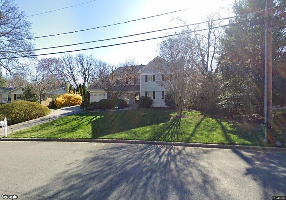
1521 Brookside Rd McLean, VA 22101
Estimated Value: $1,709,685 - $2,167,000
4
Beds
4
Baths
3,466
Sq Ft
$552/Sq Ft
Est. Value
About This Home
This home is located at 1521 Brookside Rd, McLean, VA 22101 and is currently estimated at $1,914,421, approximately $552 per square foot. 1521 Brookside Rd is a home located in Fairfax County with nearby schools including Chesterbrook Elementary School, Longfellow Middle School, and McLean High School.
Ownership History
Date
Name
Owned For
Owner Type
Purchase Details
Closed on
Jan 22, 1996
Sold by
Newton George B
Bought by
Mullet Mark S
Current Estimated Value
Home Financials for this Owner
Home Financials are based on the most recent Mortgage that was taken out on this home.
Original Mortgage
$351,200
Outstanding Balance
$9,358
Interest Rate
7.16%
Mortgage Type
Purchase Money Mortgage
Estimated Equity
$1,905,063
Create a Home Valuation Report for This Property
The Home Valuation Report is an in-depth analysis detailing your home's value as well as a comparison with similar homes in the area
Home Values in the Area
Average Home Value in this Area
Purchase History
| Date | Buyer | Sale Price | Title Company |
|---|---|---|---|
| Mullet Mark S | $439,000 | -- |
Source: Public Records
Mortgage History
| Date | Status | Borrower | Loan Amount |
|---|---|---|---|
| Open | Mullet Mark S | $351,200 | |
| Closed | Mullet Mark S | $43,900 |
Source: Public Records
Tax History
| Year | Tax Paid | Tax Assessment Tax Assessment Total Assessment is a certain percentage of the fair market value that is determined by local assessors to be the total taxable value of land and additions on the property. | Land | Improvement |
|---|---|---|---|---|
| 2025 | $17,049 | $1,536,750 | $775,000 | $761,750 |
| 2024 | $17,049 | $1,396,010 | $775,000 | $621,010 |
| 2023 | $16,271 | $1,370,480 | $775,000 | $595,480 |
| 2022 | $14,676 | $1,217,410 | $640,000 | $577,410 |
| 2021 | $13,325 | $1,080,230 | $525,000 | $555,230 |
| 2020 | $13,408 | $1,080,680 | $525,000 | $555,680 |
| 2019 | $13,334 | $1,073,290 | $525,000 | $548,290 |
| 2018 | $11,929 | $1,037,320 | $505,000 | $532,320 |
| 2017 | $12,414 | $1,019,320 | $487,000 | $532,320 |
| 2016 | $12,790 | $1,053,300 | $487,000 | $566,300 |
| 2015 | $11,391 | $969,820 | $455,000 | $514,820 |
| 2014 | $11,492 | $980,810 | $455,000 | $525,810 |
Source: Public Records
Map
Nearby Homes
- 5908 Calla Dr
- 1610 Brookside Rd
- 1468 Highwood Dr
- 4054 41st St N
- 1513 Highwood Dr
- 1441 Woodacre Dr
- 5921 Chesterbrook Rd
- 3811 N Randolph Ct
- 6016 Chesterbrook Rd
- 4464 N Old Glebe Rd
- 3916 Military Rd
- 1716 Oak Ln
- 6013 Woodland Terrace
- 4283 38th St N
- 1317 Merrie Ridge Rd
- 3815 N Abingdon St
- 400 Chain Bridge Rd
- 1347 Kirby Rd
- 4715 38th St N
- 4528 N Dittmar Rd
- 5844 Bermuda Ct
- 1519 Brookside Rd
- 5842 Bermuda Ct
- 5841 Upton St
- 5837 Upton St
- 1520 Brookside Rd
- 1522 Brookside Rd
- 5840 Bermuda Ct
- 5835 Upton St
- 1525 Brookside Rd
- 5844 Upton St
- 5848 Upton St
- 5900 Calla Dr
- 5839 Bermuda Ct
- 5851 Upton St
- 5843 Bermuda Ct
- 5833 Upton St
- 5841 Hilldon St
- 5841 Bermuda Ct
- 5902 Calla Dr
Your Personal Tour Guide
Ask me questions while you tour the home.