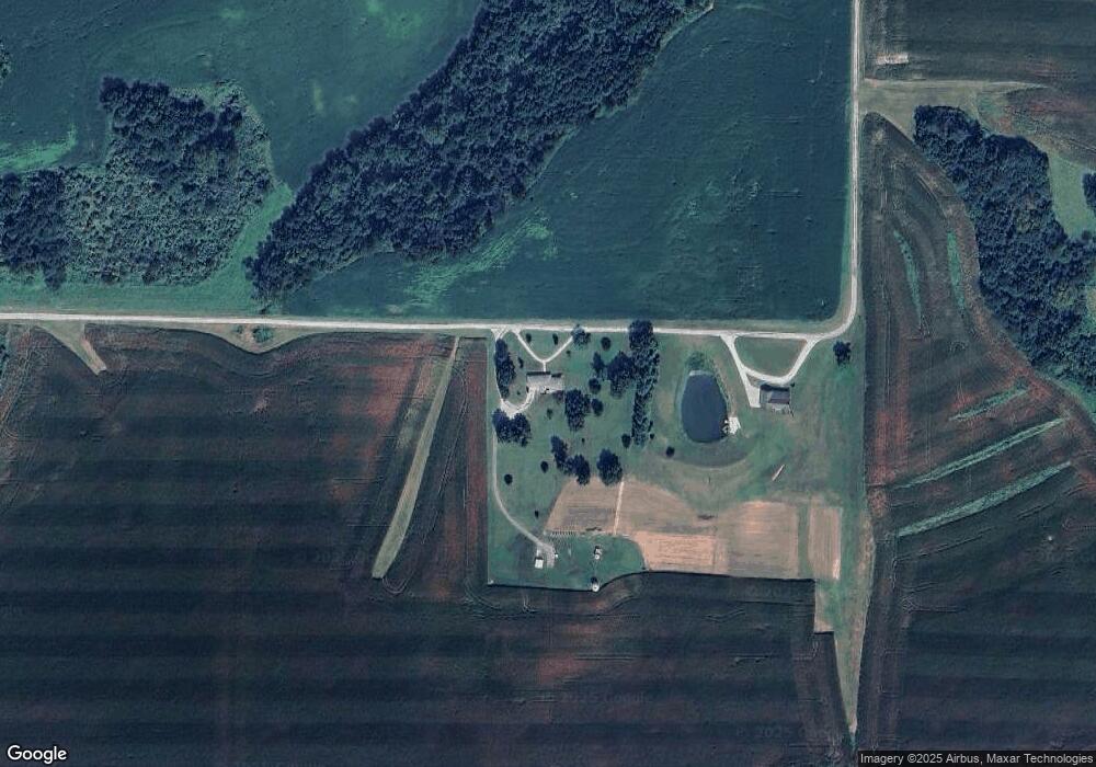
1521 Dirt Rd Arenzville, IL 62611
Estimated Value: $222,000 - $433,000
--
Bed
--
Bath
2,014
Sq Ft
$151/Sq Ft
Est. Value
About This Home
This home is located at 1521 Dirt Rd, Arenzville, IL 62611 and is currently estimated at $303,899, approximately $150 per square foot. 1521 Dirt Rd is a home located in Morgan County with nearby schools including Triopia Grade School and Triopia Junior/Senior High School.
Ownership History
Date
Name
Owned For
Owner Type
Purchase Details
Closed on
Mar 28, 2018
Sold by
Phelps Chad A and Phelps Pamala E
Bought by
Phelps Chad A and Phelps Pamala E
Current Estimated Value
Purchase Details
Closed on
Jul 1, 2009
Sold by
Job Jeff A and Job Dawn E
Bought by
Phelps Chad A and Phelps Pamala E
Home Financials for this Owner
Home Financials are based on the most recent Mortgage that was taken out on this home.
Original Mortgage
$140,000
Outstanding Balance
$89,261
Interest Rate
4.86%
Mortgage Type
New Conventional
Estimated Equity
$214,638
Purchase Details
Closed on
Jul 29, 2005
Sold by
Phelps John Kenneth and Phelps Martha Marie
Bought by
Job Dawn E and Job Jeff A
Home Financials for this Owner
Home Financials are based on the most recent Mortgage that was taken out on this home.
Original Mortgage
$141,900
Interest Rate
6.85%
Mortgage Type
Adjustable Rate Mortgage/ARM
Create a Home Valuation Report for This Property
The Home Valuation Report is an in-depth analysis detailing your home's value as well as a comparison with similar homes in the area
Home Values in the Area
Average Home Value in this Area
Purchase History
| Date | Buyer | Sale Price | Title Company |
|---|---|---|---|
| Phelps Chad A | -- | Attorney | |
| Phelps Chad A | $140,000 | None Available | |
| Job Dawn E | $141,900 | Tri County Land Title |
Source: Public Records
Mortgage History
| Date | Status | Borrower | Loan Amount |
|---|---|---|---|
| Open | Phelps Chad A | $140,000 | |
| Previous Owner | Job Dawn E | $141,900 |
Source: Public Records
Tax History Compared to Growth
Tax History
| Year | Tax Paid | Tax Assessment Tax Assessment Total Assessment is a certain percentage of the fair market value that is determined by local assessors to be the total taxable value of land and additions on the property. | Land | Improvement |
|---|---|---|---|---|
| 2024 | $3,730 | $61,230 | $5,710 | $55,520 |
| 2023 | $3,057 | $55,660 | $5,190 | $50,470 |
| 2022 | $3,115 | $55,660 | $5,190 | $50,470 |
| 2021 | $3,126 | $57,970 | $5,450 | $52,520 |
| 2020 | $3,648 | $55,470 | $5,450 | $50,020 |
| 2019 | $3,560 | $54,970 | $5,450 | $49,520 |
| 2018 | $3,397 | $53,370 | $5,290 | $48,080 |
| 2017 | $3,341 | $52,330 | $5,190 | $47,140 |
| 2016 | $3,383 | $52,670 | $6,430 | $46,240 |
| 2015 | $3,003 | $45,770 | $5,400 | $40,370 |
| 2014 | $3,003 | $44,870 | $5,290 | $39,580 |
| 2013 | $2,741 | $44,870 | $5,290 | $39,580 |
Source: Public Records
Map
Nearby Homes
- 2275 Concord Arenzville Rd
- 102 E Virginia Rd
- 208 S State St
- 205 E Main St
- 16881 Crum Rd
- 1865 Gravel Springs Cir
- 12 Quail Ln
- 1585 Gravel Springs Cir
- 17 Springwater Dr
- 2 Springwater Dr
- 1672 Mount Zion Rd
- 1640 Old Highway 67
- 304 Carobeth Cir
- 108 Nansarah Dr
- 13110 6 Mile Rd
- 2380 McKendree Chapel Rd
- 615 Ash St
- 718 Superior St
- 617 Railroad St
- 641 S Cass St Unit N pt Lot